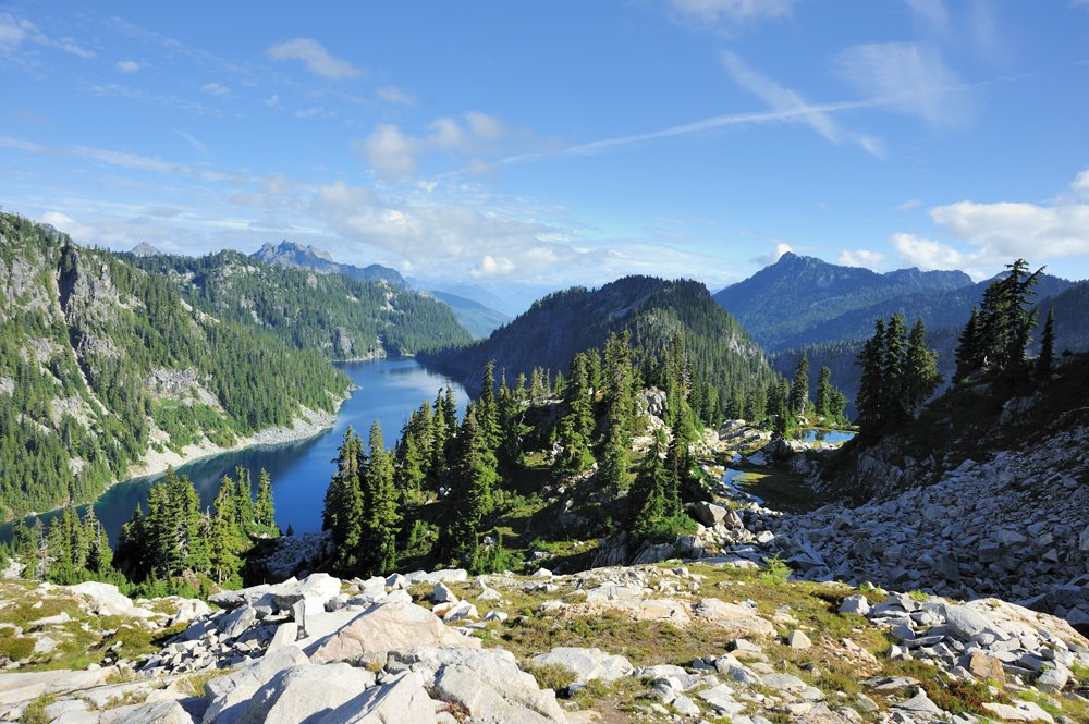
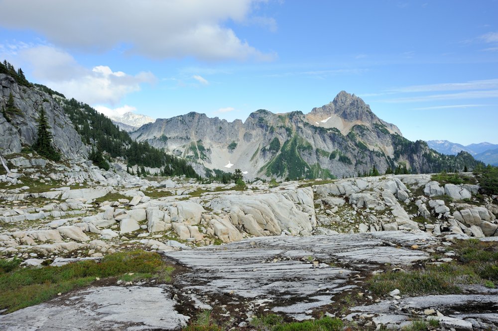
We got back a week ago from a week-long hike through some of our beloved Alpine Lakes country — places that, for a substantial part of the route, very few people ever visit, but which are absolutely beautiful. But the story of this epic adventure would be impossible to understand, and incomplete, without first telling the story of last year’s hike along the Alpine Lakes High Route Traverse and our side trip to La Bohn and Mt. Hinman. Besides, it is beautiful and interesting in its own right.
After the Bailey Range Traverse, my partner in this challenging life of mine began deliberately looking for all sorts of alpine traverses in the area — routes where you climb up onto ridges above the treeline and then just keep going along them. Naturally, Washington has the classic Ptarmigan Traverse, but we somehow can never manage to get there: whenever we have a suitable stretch of time, fires start right at the entrance to the Ptarmigan Traverse. Or some other disaster happens.
By last August, the same thing had happened again, but we discovered the Alpine Lakes High Route Traverse. It is actually quite tiny in its classic version — a three-day trip, with one day to get in, one day to get out, and only one day actually traversing the high country. And we already knew and loved the approach section; we’d hiked it before.
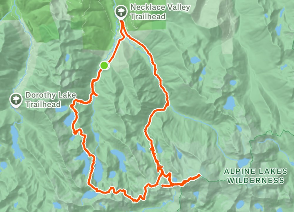
The approach is Trout Lake → Lake Malachite (a tiny side trip from the main route, but perfect for a day hike) → Copper Lake → Little Heart Lake → Big Heart Lake → and a little unnamed lake above Chetwoot Lake, which we named Bufo Pond — I really enjoyed swimming in it.
Here you can see our previous hikes, especially since I have practically no photos of the approach section from this trip:
Big Heart lake and Bufo pond
To make the adventure feel a little less modest, we decided to add a substantial side trip to La Bohn Lake and Mt. Hinman. This is actually where people usually go when the traverse turns toward the exit.
Strava:
The first day was all familiar territory.
Trout Lake. Here we discovered that we’d forgotten something important, so Peer ran back to the parking lot for it while I thoughtfully admired the lake.
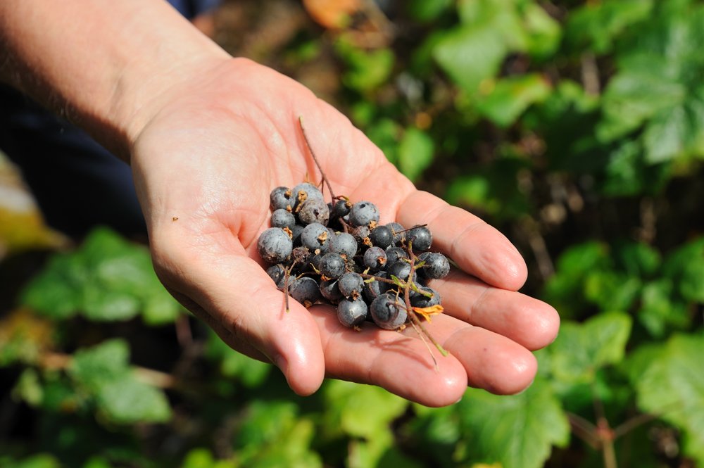
On the way up to Copper Lake, we came across a blackcurrant bush covered in berries. There is quite a lot of blackcurrant in the mountains around here, but this was the first time we’d actually found berries on it. Strange but true. Delicious!
Little Heart Lake.
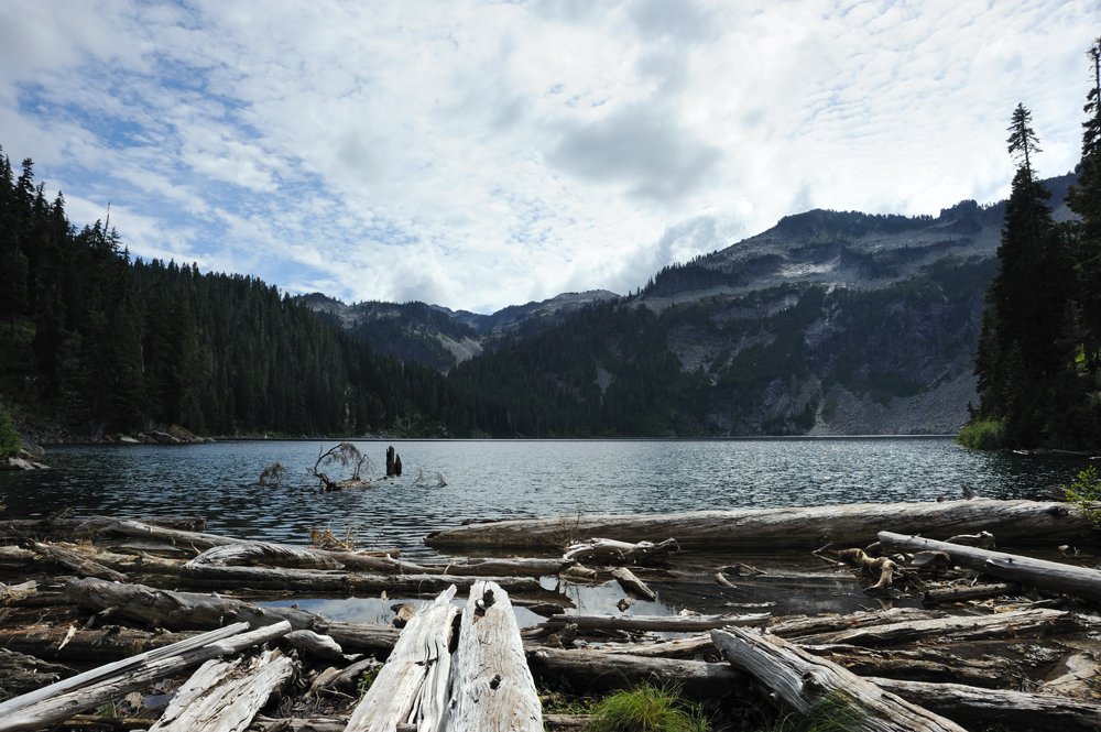
By this point my camera had started malfunctioning (I spent several months repairing it afterward, and that was a completely insane story in itself). It successfully took pictures about half the time, we’d gotten a rather late start and were hurrying, and the weather was overcast, so I stuffed the camera into my backpack until morning. You can admire the lakes in my posts from previous trips to this area.
We stopped for the night just short of Bufo Pond.
Morning tent.
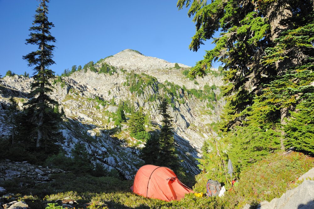
And the surroundings.
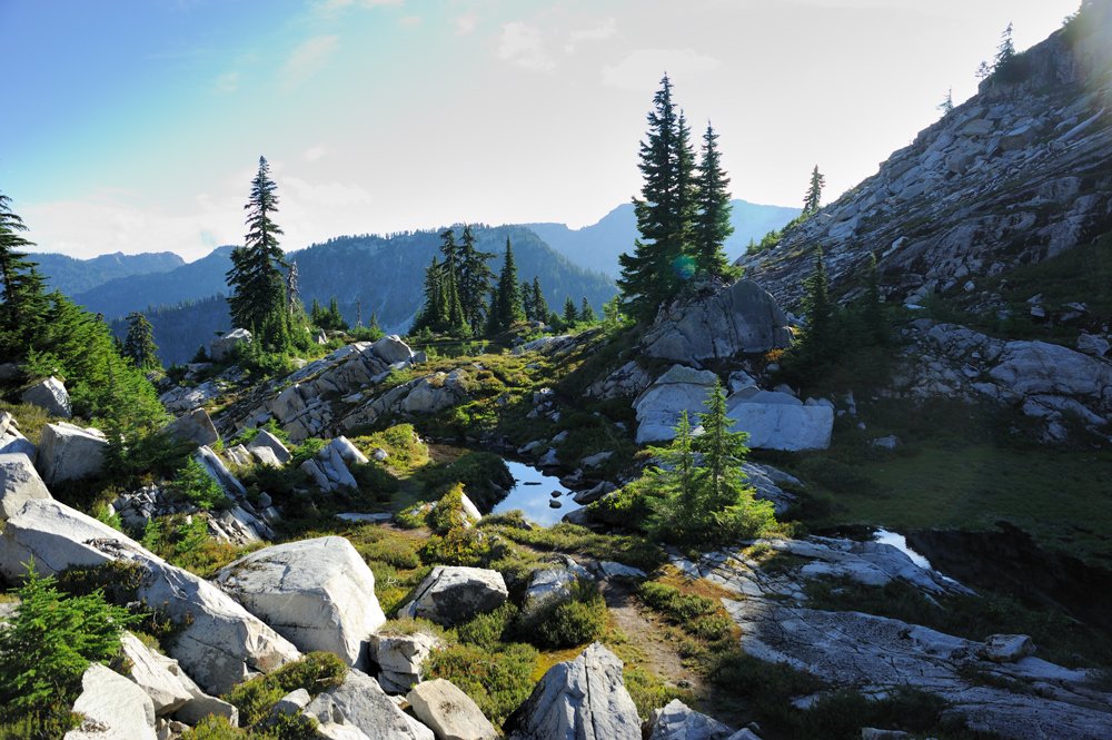
That’s where we’re headed.
And here is my beloved little Toad Pond.
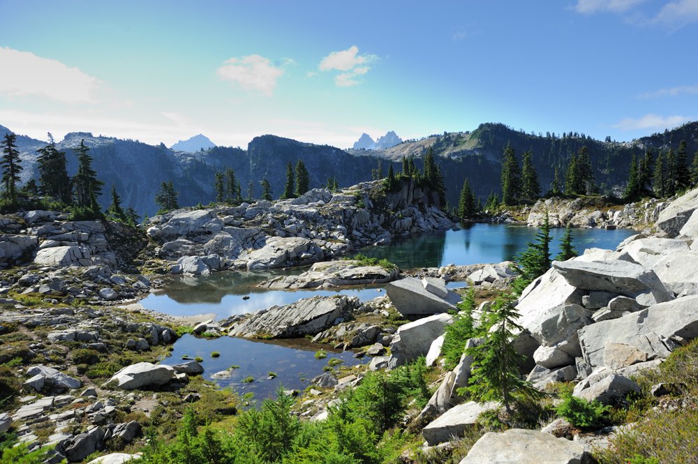
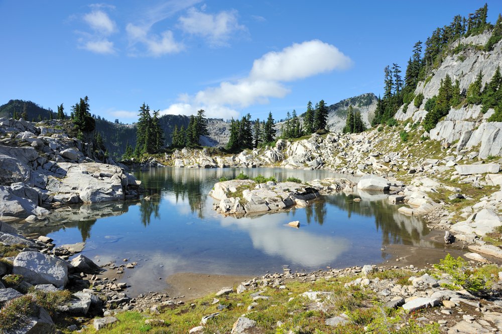
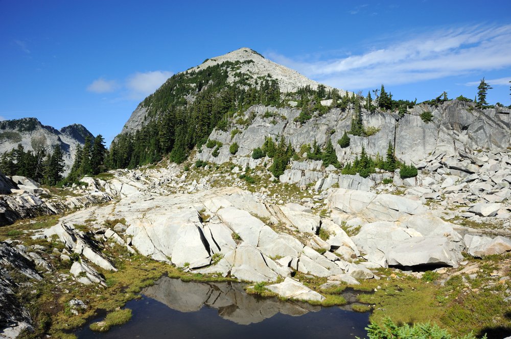
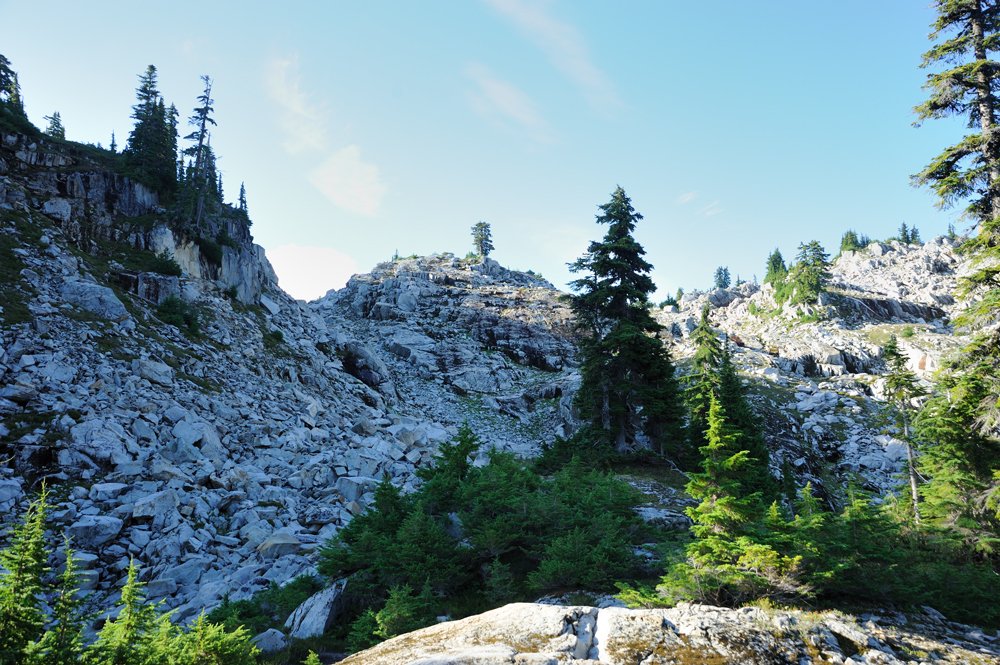
From here on, we were entering trails we’d never walked before. And rockfields — which would dominate the landscape over trails for the rest of the day.
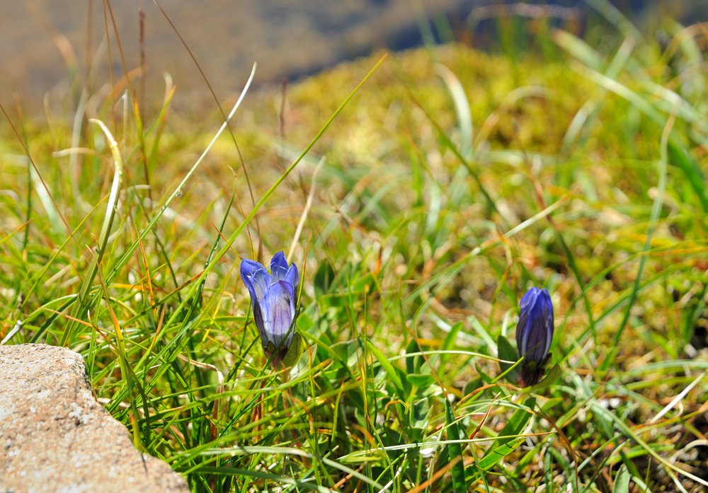
We descended to Chetwoot Lake and the stream flowing out of it. People doing the standard three-day route usually camp at Chetwoot.
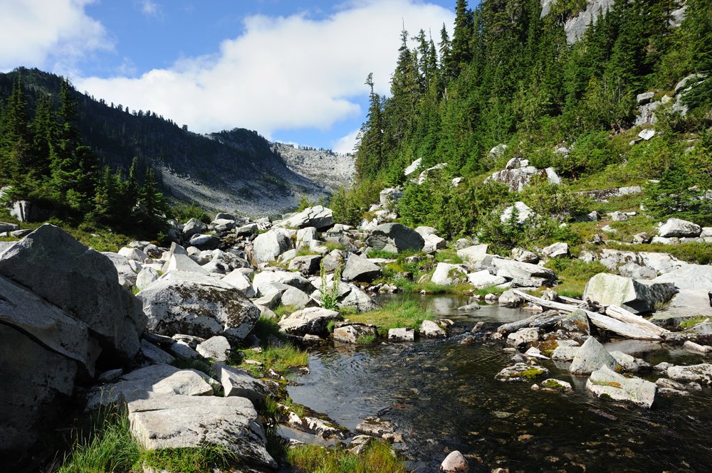
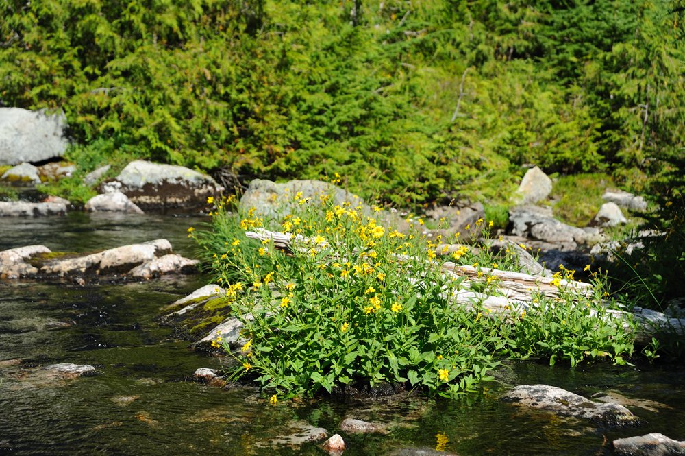
And we started heading toward Iron Cap.
This is Chetwoot, left behind us.
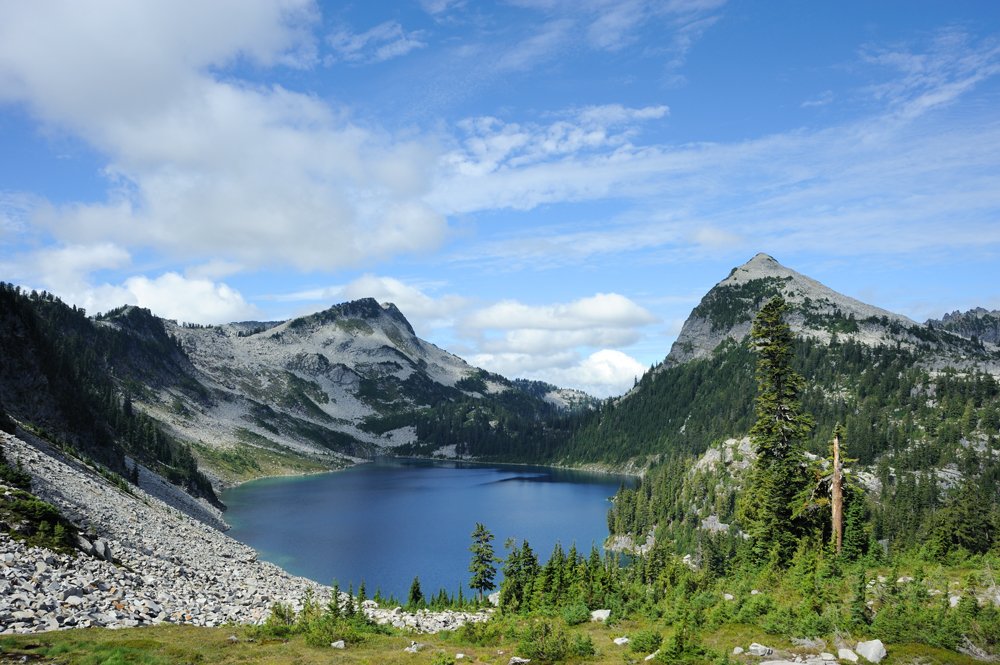
There are countless lakes around here. I’m not even going to try to identify which is which right now.
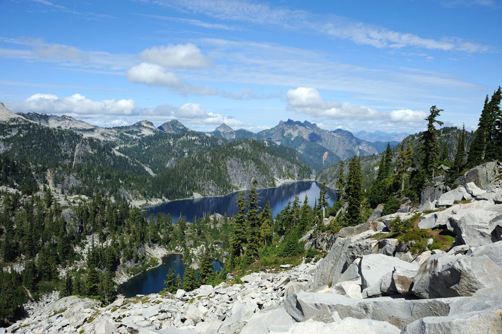
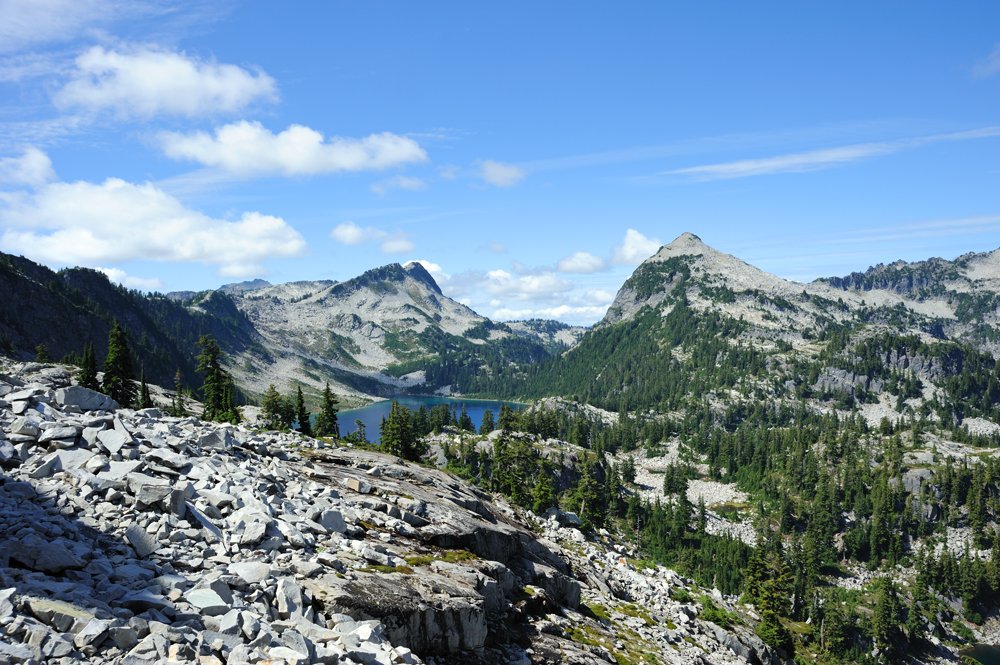
Iron Cap
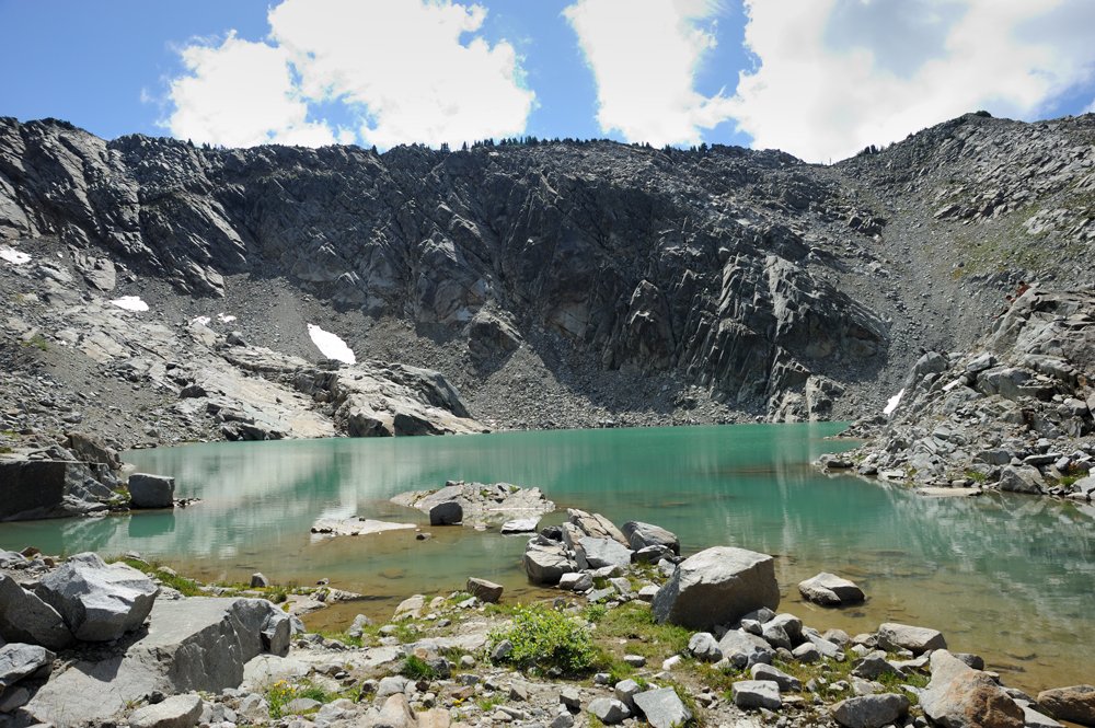
And the stream flowing out of it.
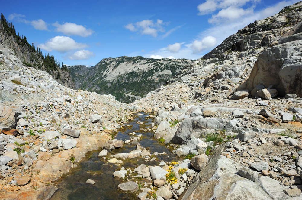
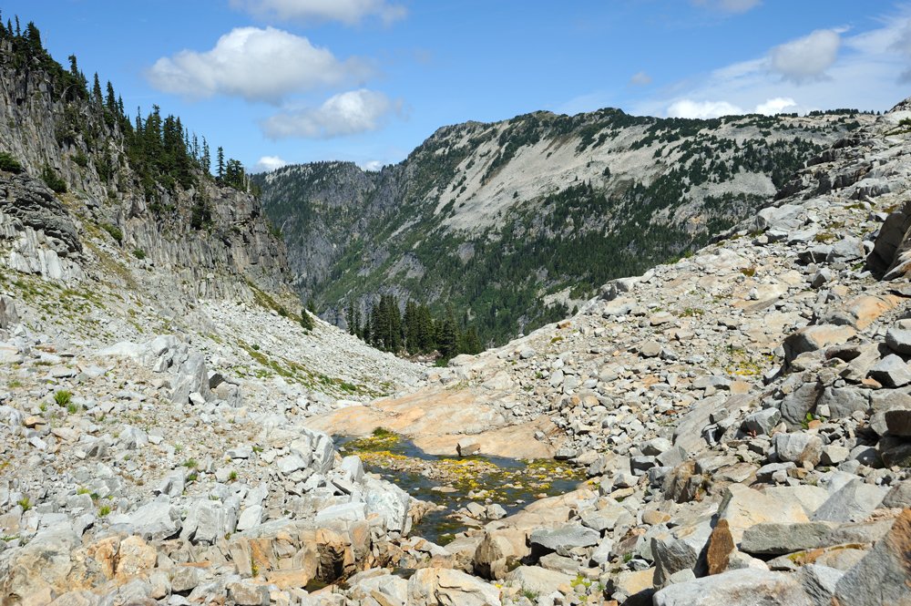
Moving on.
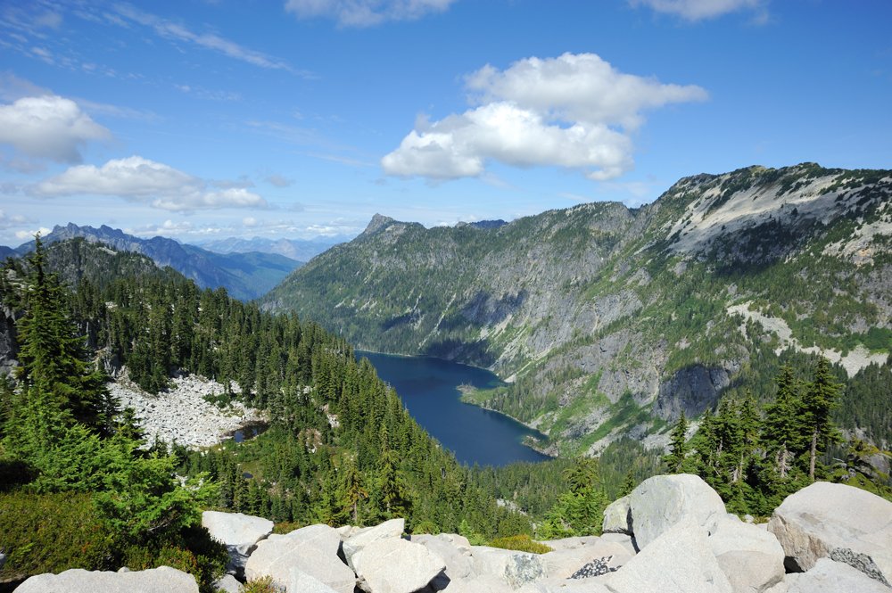
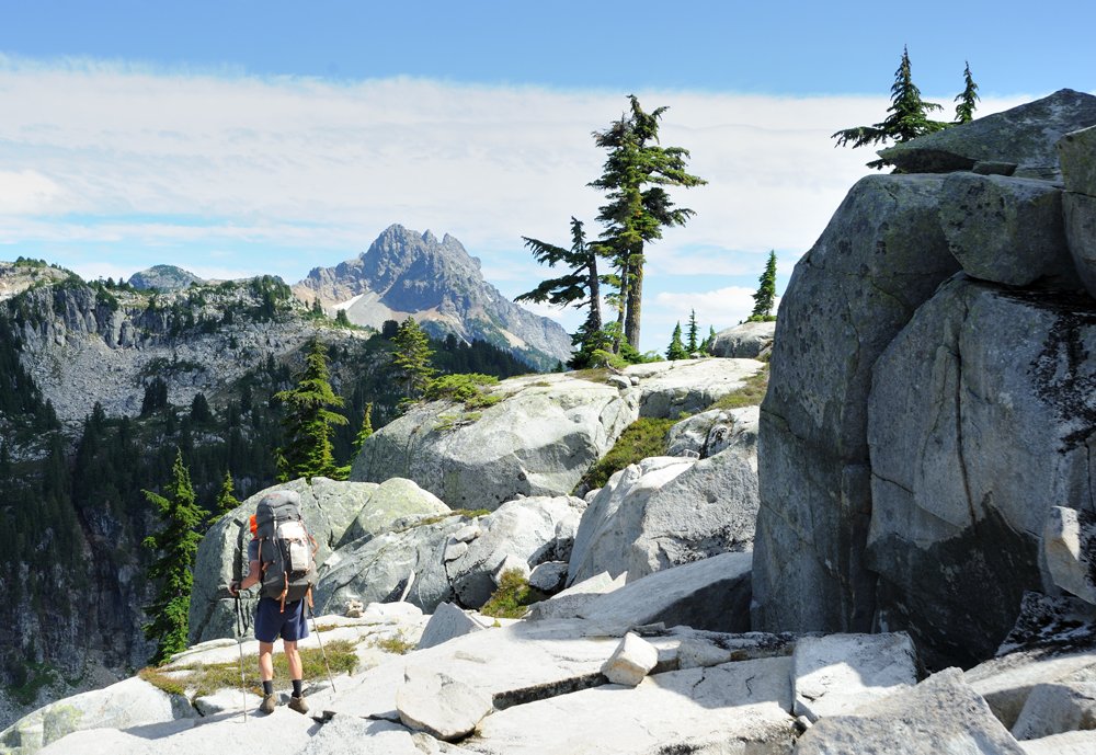
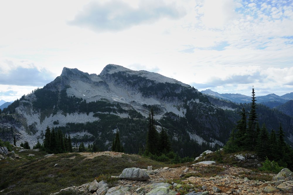
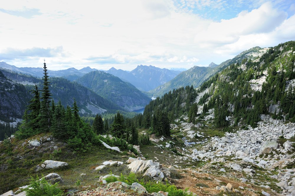
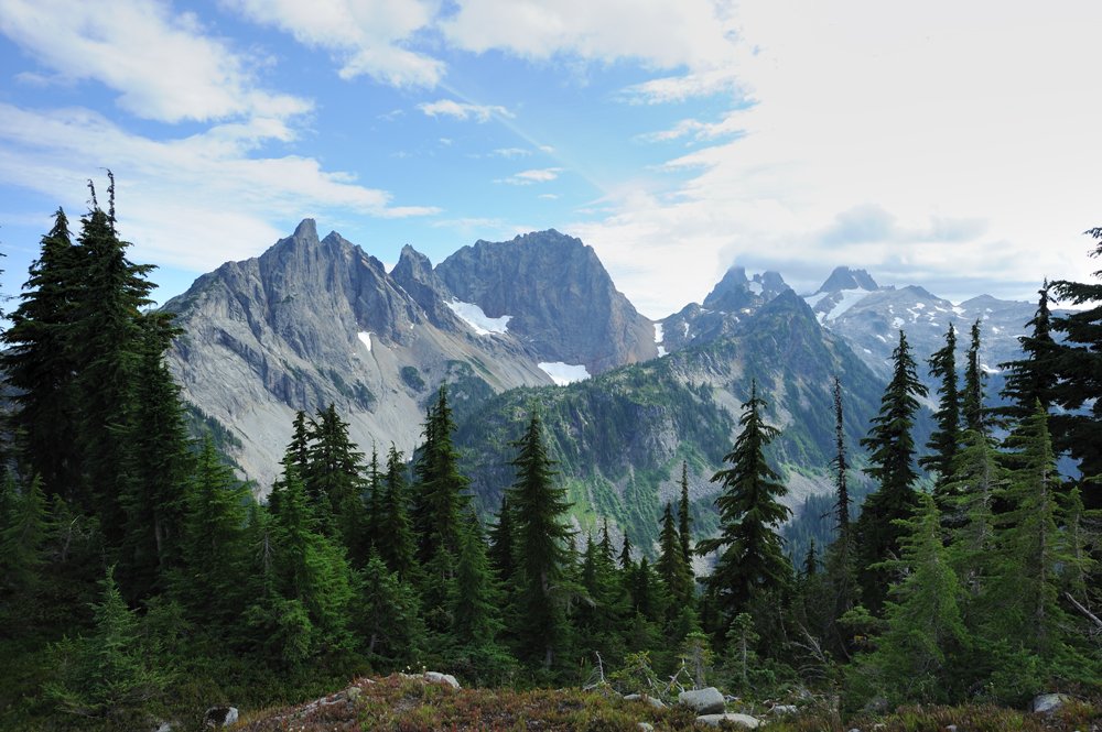
We reached Tank Lakes. This is a huge, flat shelf of pale granite-diorite (or something closely related) with several small lakes scattered across it.
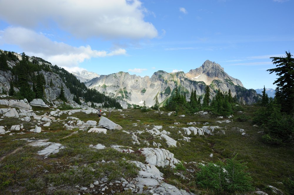
I love places like this, but you don’t come across them all that often. We couldn’t just pass by without paying our respects.
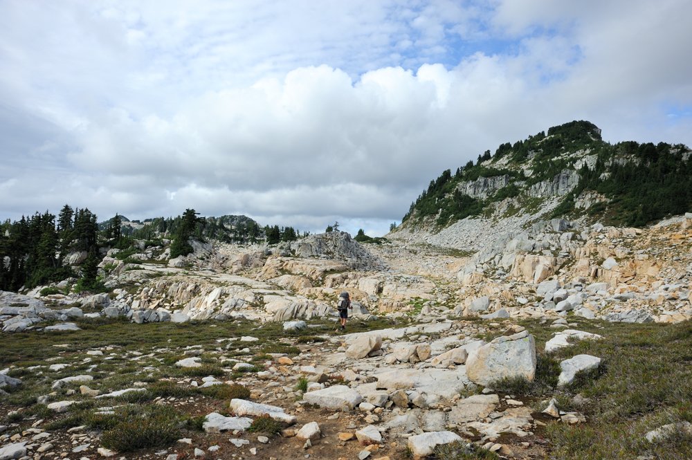
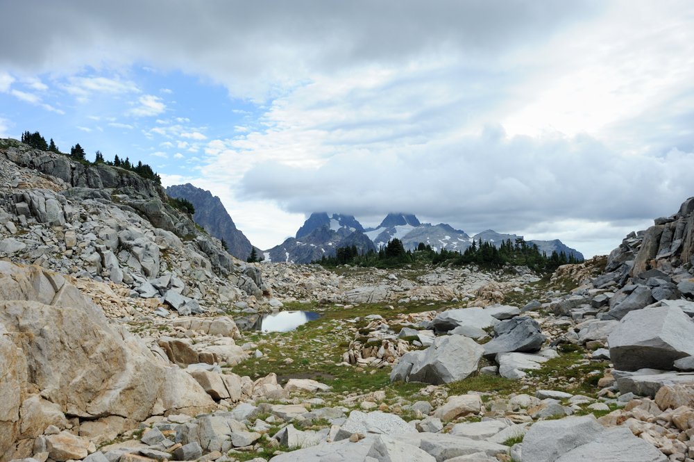
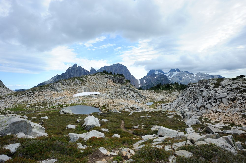
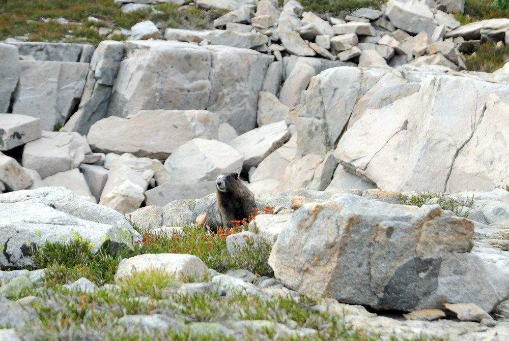
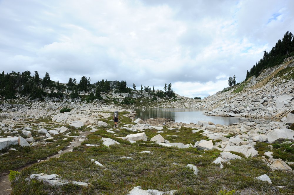
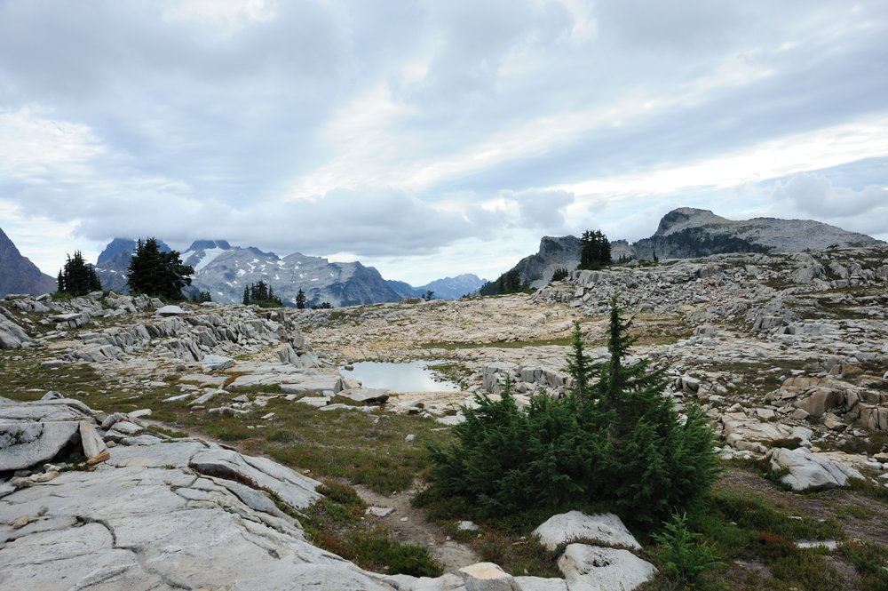
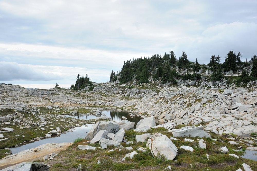
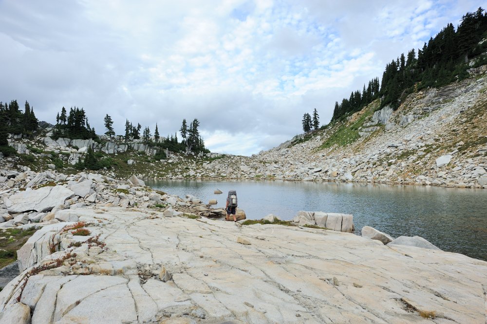
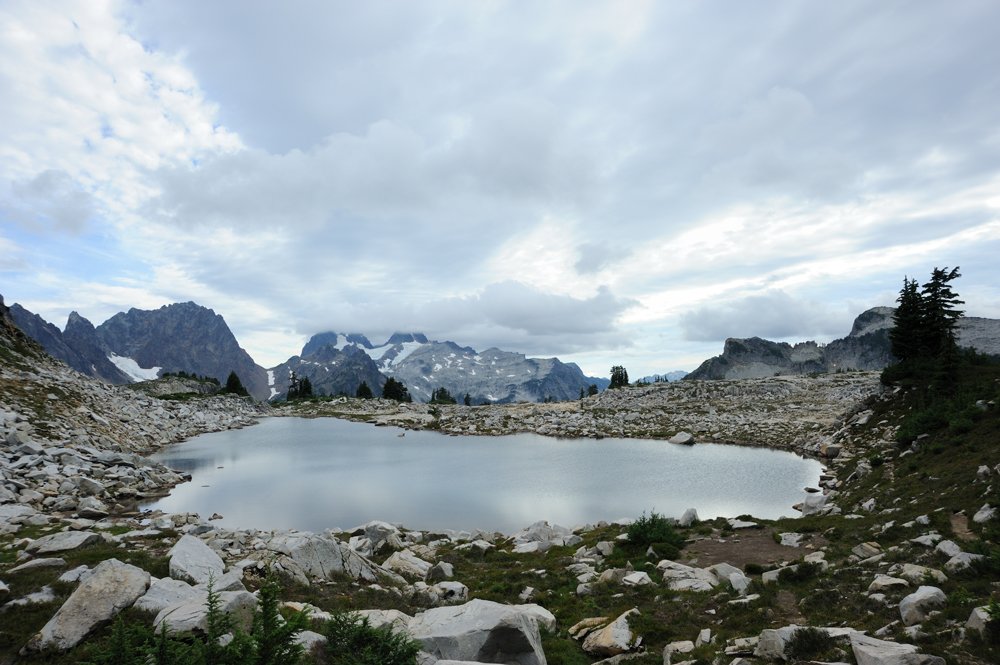
Many people doing the standard traverse route camp at the Tanks and then descend Neckless Valley the next day. It’s a very long exit, a full day’s worth, and the second half of it is extremely tedious.
But we weren’t planning to say goodbye to the area quite so quickly. We had a substantial side trip planned — Mt. Hinman. And we intended to spend the night at La Bohn Lake.
And this is where we somehow went wrong.
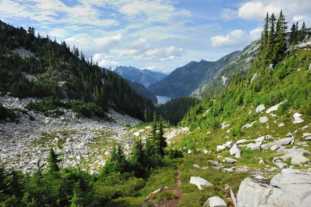
In the photo below, we’re descending from the Tanks. La Bohn is directly opposite us, on the other side of the valley. The mountain on the right is La Bohn, and La Bohn Lakes are to its left (from our vantage point).
You’re supposed to descend into the valley, cross it, and immediately climb the opposite wall. I don’t have a decent photo of that wall here, but I’ll show it in my post about this year’s adventures. It’s a huge vertical rock face with a waterfall running down it. And you’re supposed to climb alongside that waterfall.
We looked at it and decided that something wasn’t right. Surely normal people couldn’t possibly climb up that. The lakes must be somewhere else.
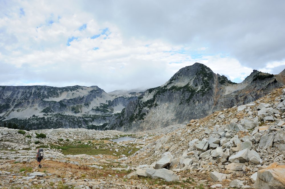
So we headed down into the valley to look for them.
Descending.
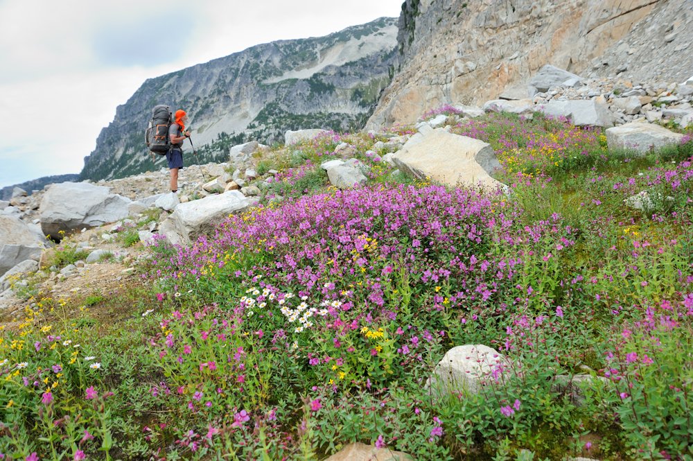
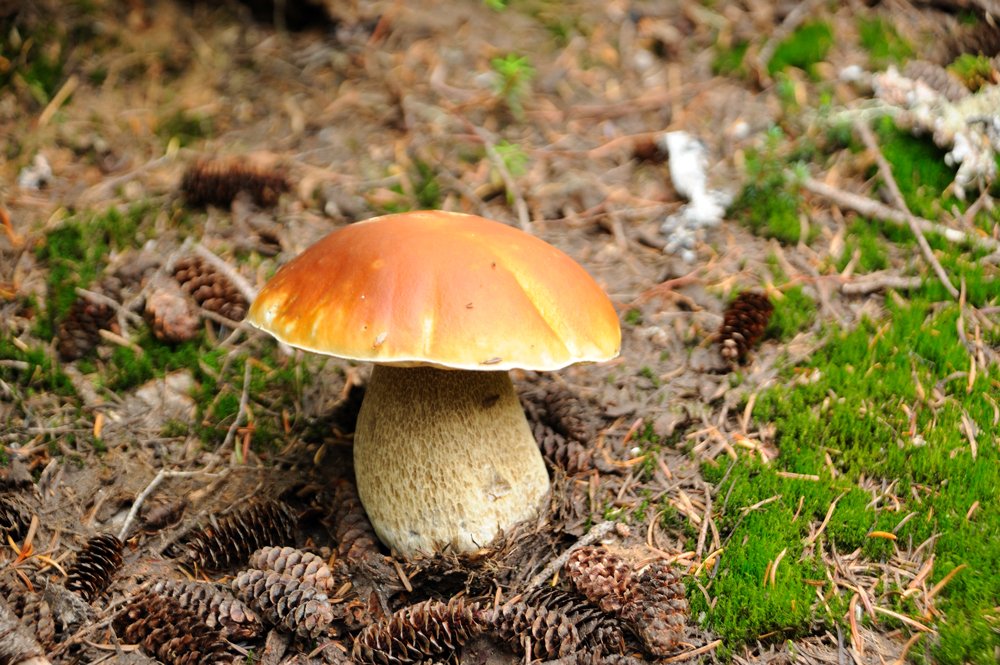
The forest began, and the mushrooms appeared. What a beauty. But we’d have to walk right past it.
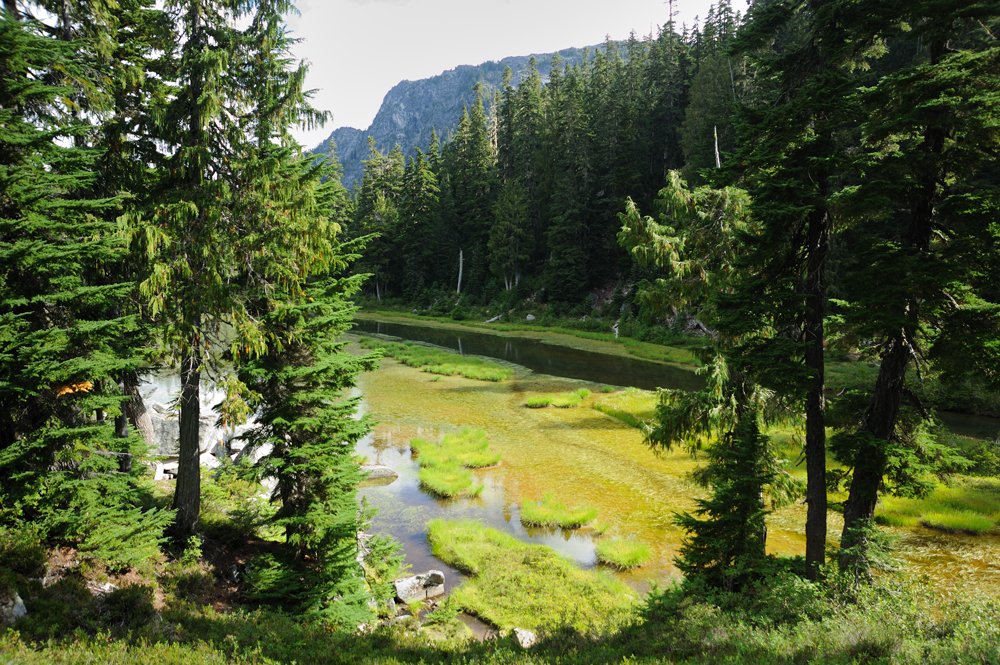
Opal Lake
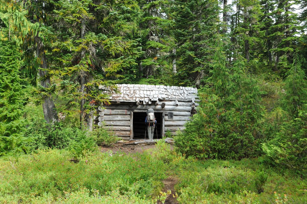
Shelter
In the end, we descended all the way to Jade Lake. That’s where we realized that something was definitely wrong. We played cards and headed back uphill.
We ended up spending the night at Opal.
And in the morning we returned to the cliffs.
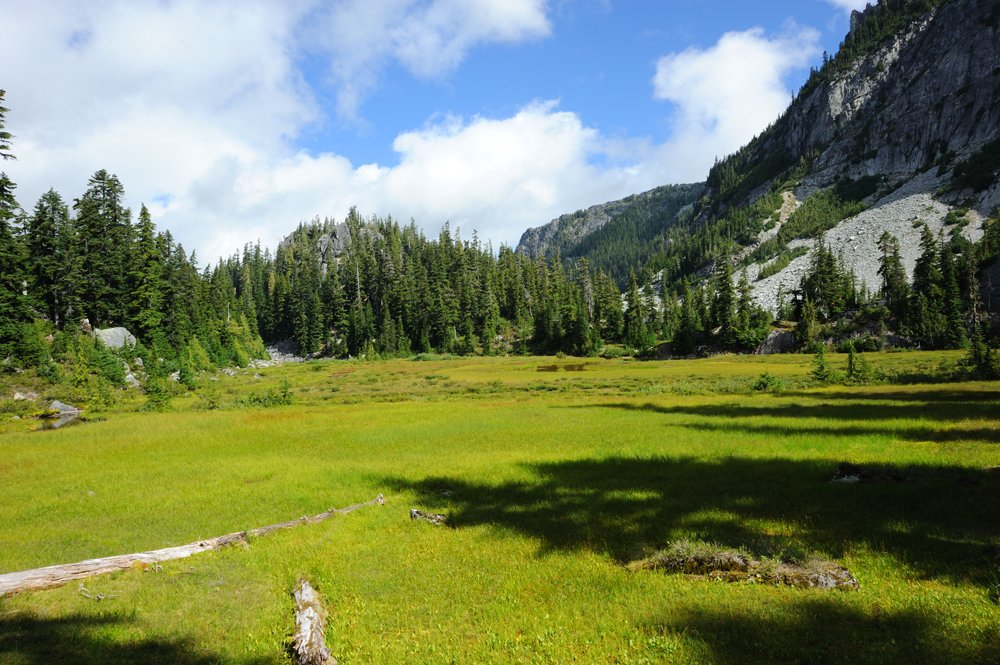
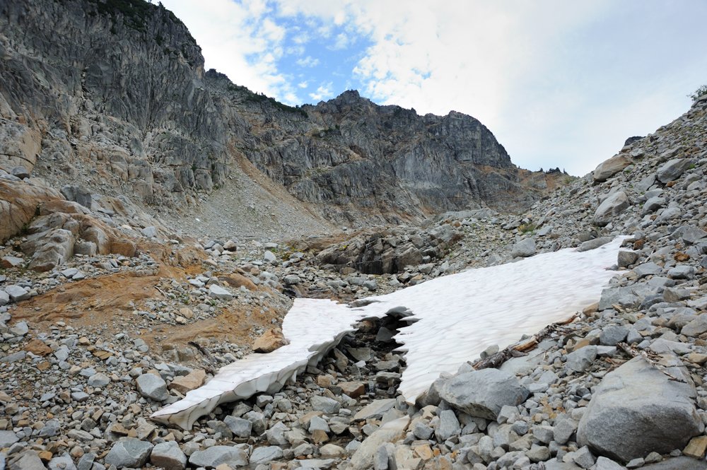
The route really does first go up a steep talus slope and then along the rock face beside the waterfall. I have to say, the second part is pretty unpleasant. I didn’t like it.
The first of the La Bohn Lakes, from which the waterfall flows.
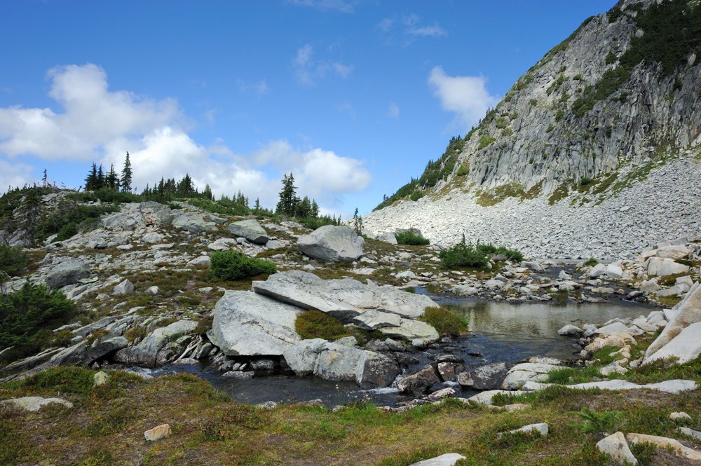
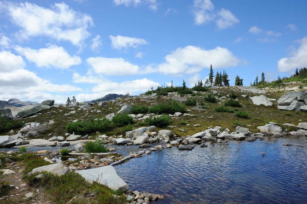
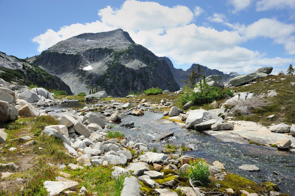
We pitched our tent by the farther lake and went for a stroll up La Bohn Mountain.
View of the lake and the first part of the climb to Hinman, where we’d be heading the next day.
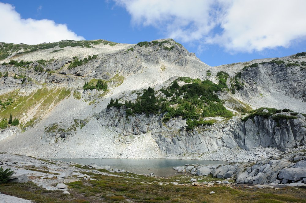
Views from La Bohn Mountain.
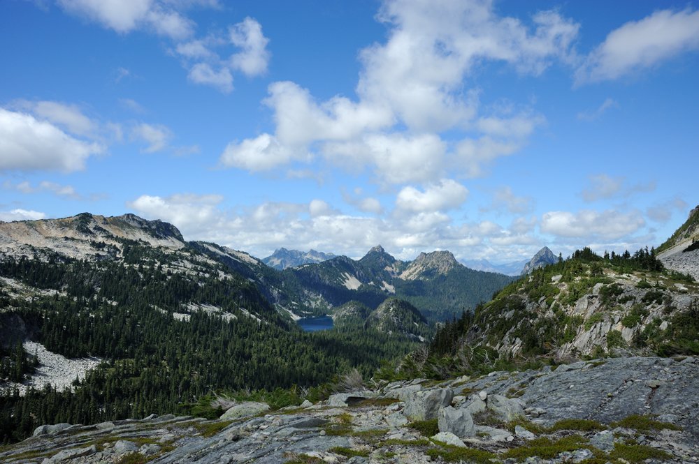
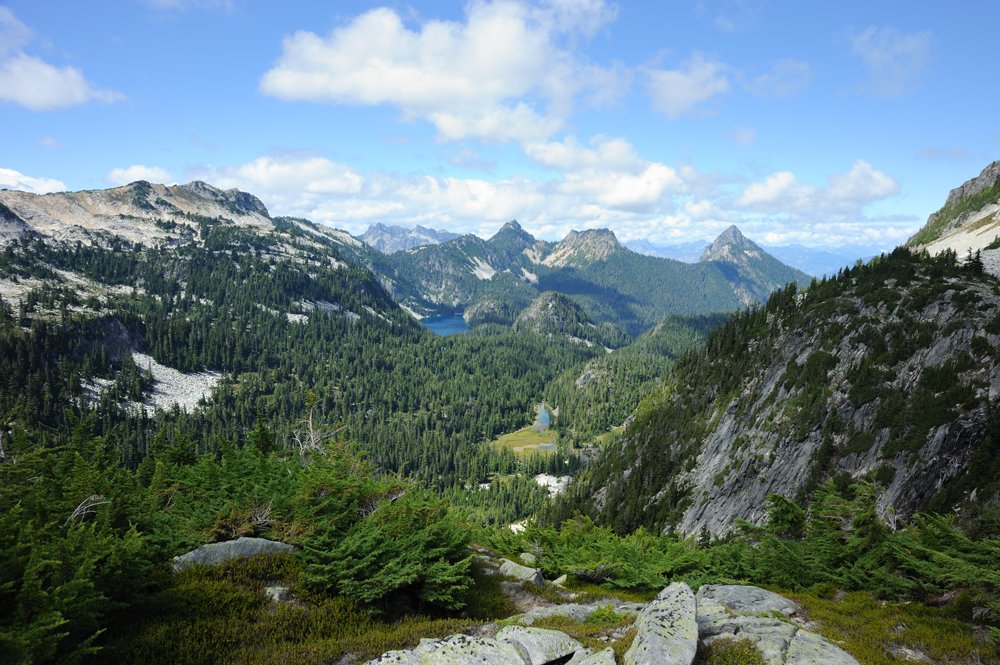
The La Bohn Lakes from above.
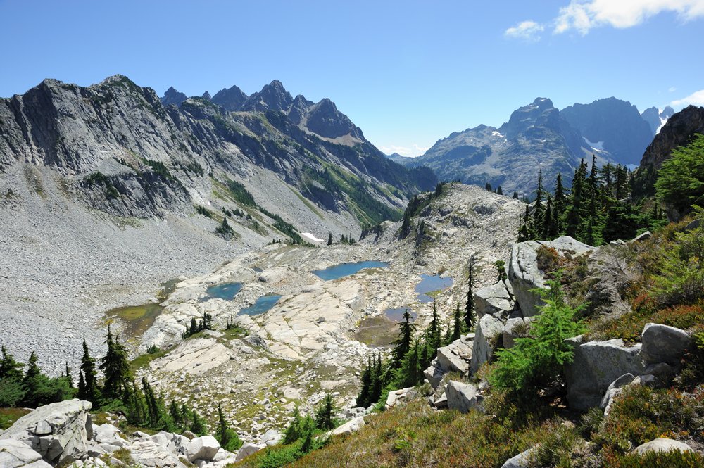
The next morning. The little lake where we’d camped.
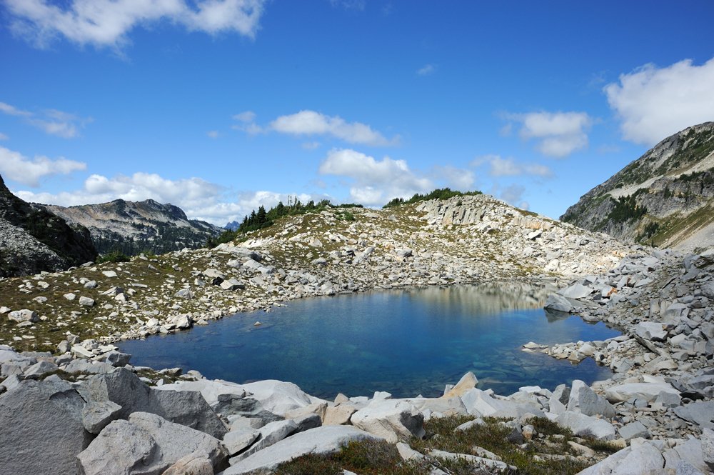
We climbed up toward Hinman.
This is La Bohn, where we’d gone for a little walk the day before.
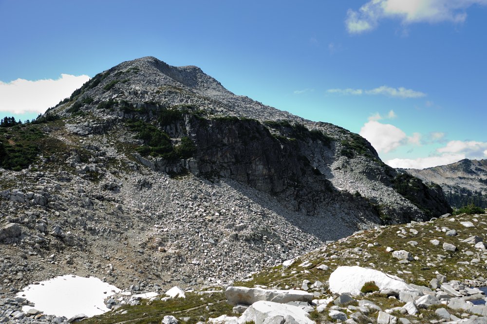
Views in different directions from the beginning of the climb.
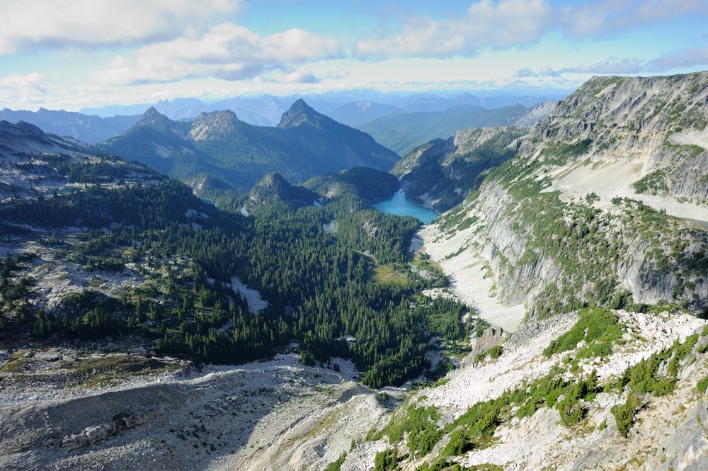
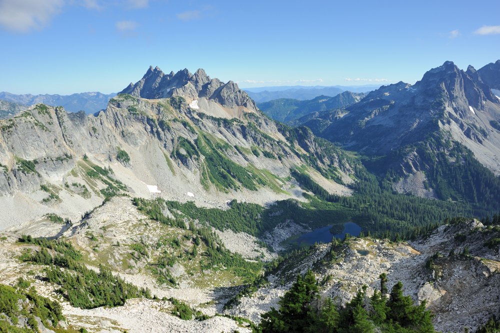
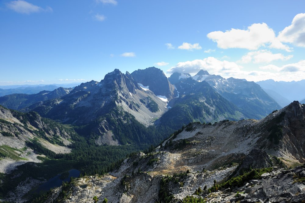
If the camera had been willing to work about half the time until then, at this point it finally and completely refused to function. So there will be no more pictures, only dry words.
Although this year we went through these places again, so I’ll show them to you later — and not just these places.
We climbed up onto the shoulder of Hinman. To reach the summit, we would have had to cross a small glacier. Rocks were merrily bouncing down it with enviable regularity. We watched them for a while and decided that perhaps we didn’t actually want to go up there that badly. We admired the other side and turned back.
We spent another night at La Bohn Lake and then headed down. And I have to say, climbing back down the waterfall from La Bohn is even more unpleasant than climbing up it.
And then came the long exit through Neckless Valley. At first it’s quite pretty — lakes, mushrooms, all that good stuff. And then comes some kind of endless, mind-numbingly boring trail through the forest. With a river crossing thrown in for good measure.

