Spitsbergen
Spitsbergen. What, why, and how.
Spitsbergen. Voyage. Longyear
Spitsbergen. Ymerbukta
Spitsbergen. Esmarkbreen
Spitsbergen. Nansenbreen. Borebreen
Spitsbergen. Whiteout
Spitsbergen. Borebreen. Vintervegen
Spitsbergen. Klampebreen. Osbornebreen
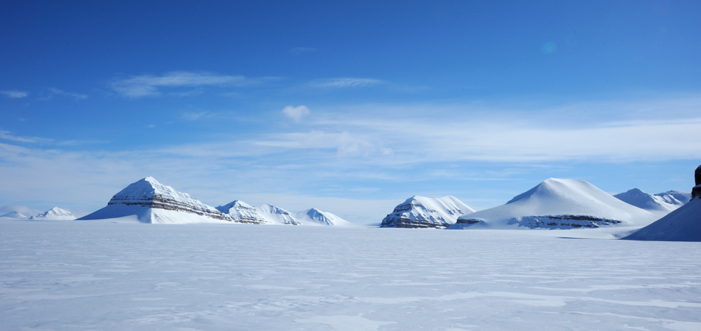
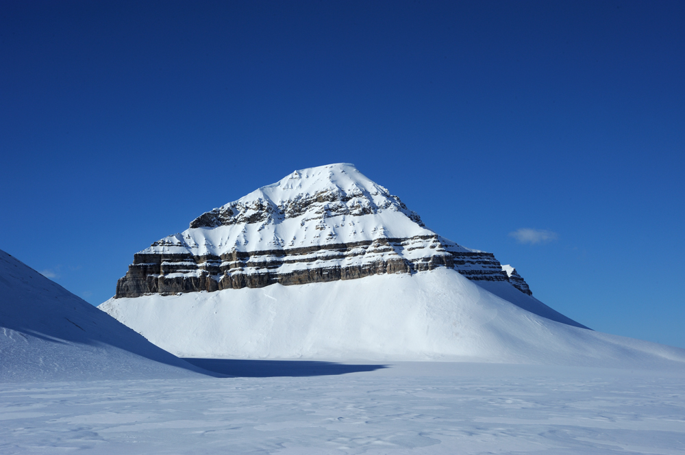
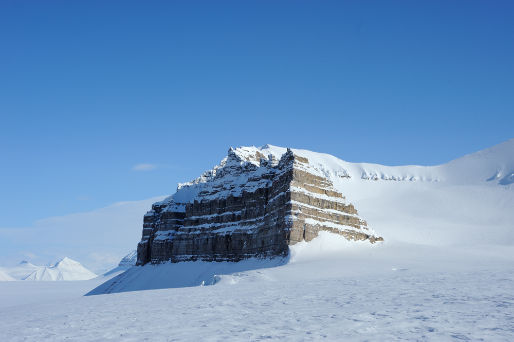
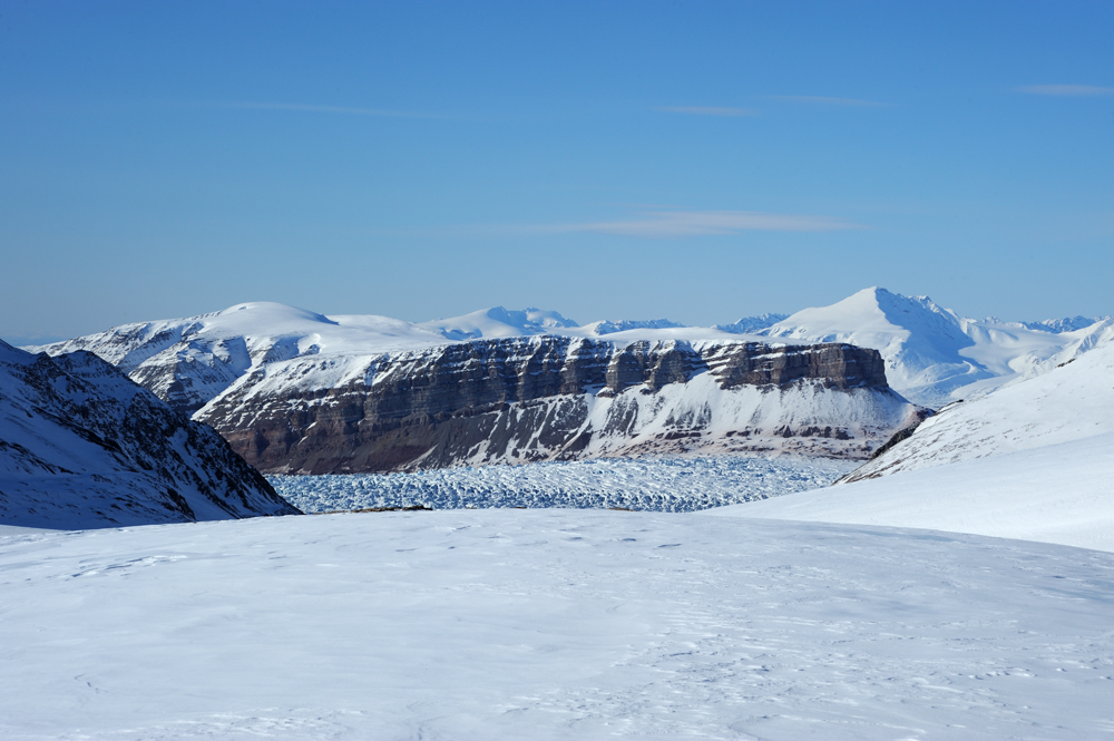
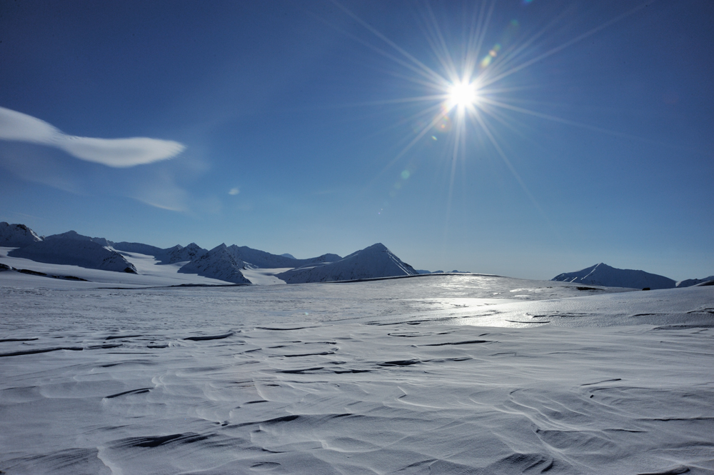
Spitsbergen. Osbornebreen. Three Crowns
The time in the whiteout near the bottom of Three Crowns shown that the loss of sleeping bags was a more grieved thing that we hoped. The clothes that we used instead of sleeping pads waterlogged and didn’t insulate anymore. If at a sunny day we could dry it out easily, only one day of a whiteout was enough to remain completely wet and froze strongly during the night. If the sun disappears for several days we would be in an unhealthy situation.
It was at least one week of skiing to Pyramid, our planned goal. One week if the weather would be good and the bay under the ice. With our luckiness, it could be easily two or even three weeks. If we would freeze every night (or even some nights on the row) it would not be healthy variant.
The loss of overboots also was a problem, because on the way to Pyramid there are many ice blisters according to all descriptions. Crossing them without overboots makes our ski boots completely wet and we certainly couldn’t dry them out.
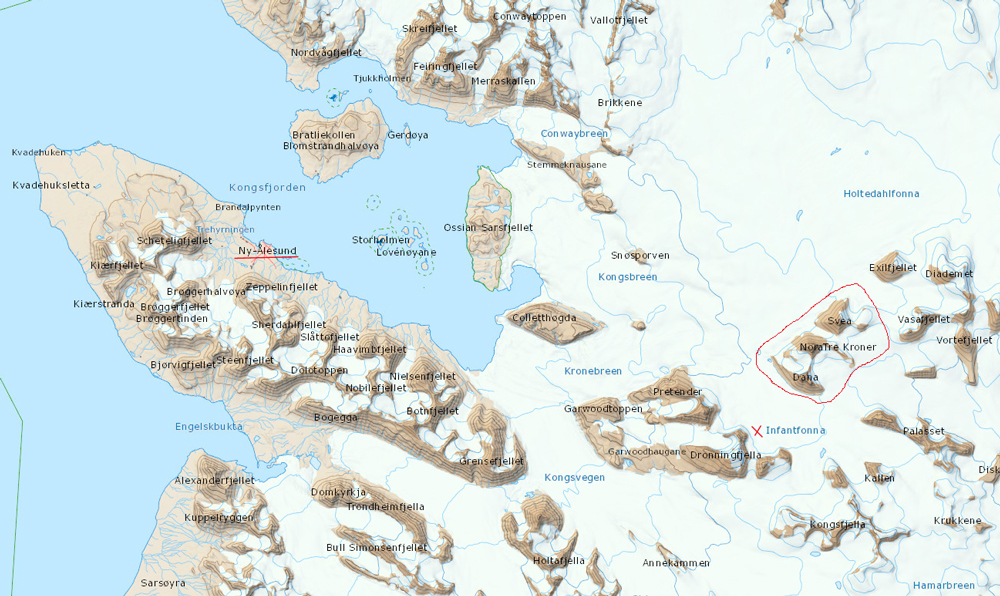
After deep thoughts, we decided that we should cut our way. We were in three days from Ny-Alesund, the most northern civil settlement, so we decided to turn to the west instead of east.
To get to Ny-Alesund we should descent to the ocean and move along Kongsfjorden to the settlement.
Map. The Crowns are encircled, Ny-Alesund is underlined, the place of our camp is marked.
There were three ways to come to the ocean.
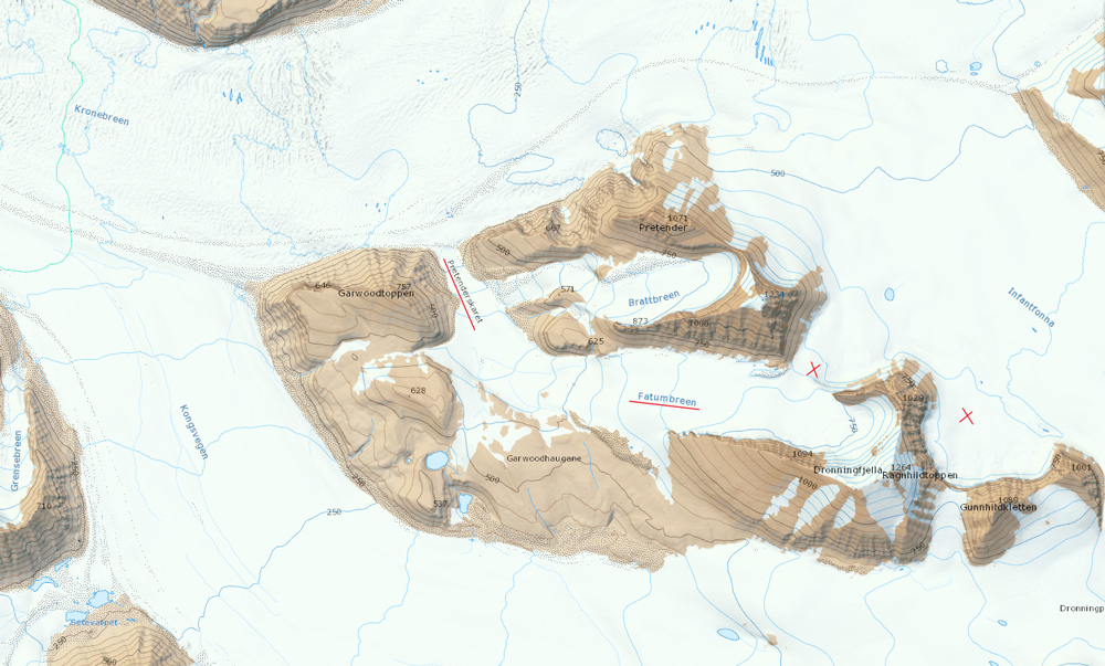
We could return by our own trace through Dronningpasset to Kongsvegen and descent along Kongsvegen. It is unproblematic way, Kongsvegen (King Way) is a smooth nice glacier, there is even snowmobile trace to Ny-Alesund along this glacier. But it is a boring way.
Also, we could descent along Infantfonna to Kronebreen, and use this glacier to reach the ocean. However, Kronebreen near Crowns looked very ragged, and we didn’t want to go to this crevasses abundance.
And the last variant – ascent to Fatumbreen that was just above us, pass it, look at the Crows from the more high point, and descent to Kronebreen via Pretenderskaret avoiding by this way crevasses and ice blister of Kronebreen’s upper part. Well, Fatumbreen (Glacier of Fatum) sound not too promising, but it looks interesting, so we choose the last variant.
Map. Our camp, pass on Fatumbreen, and potential descent to Kronebreen are marked.
Whiteout disappeared, sun and wind appeared. Finally, we could look around and even see something.
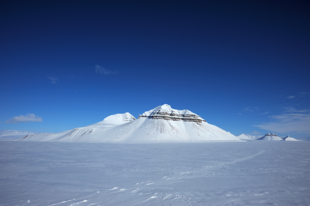
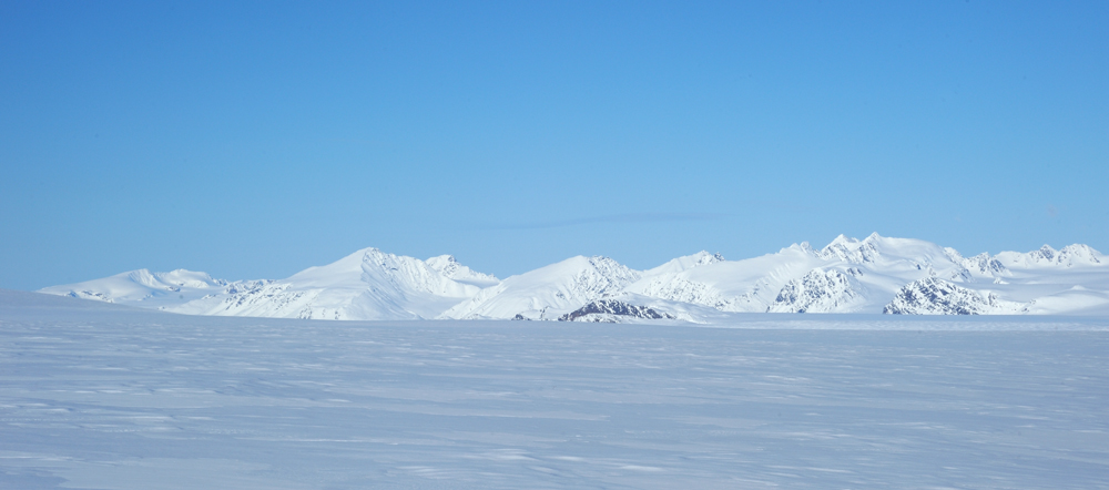
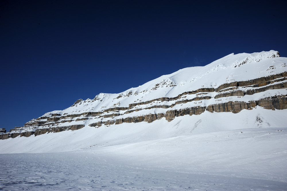
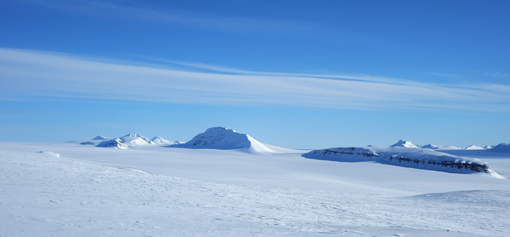
Crowns
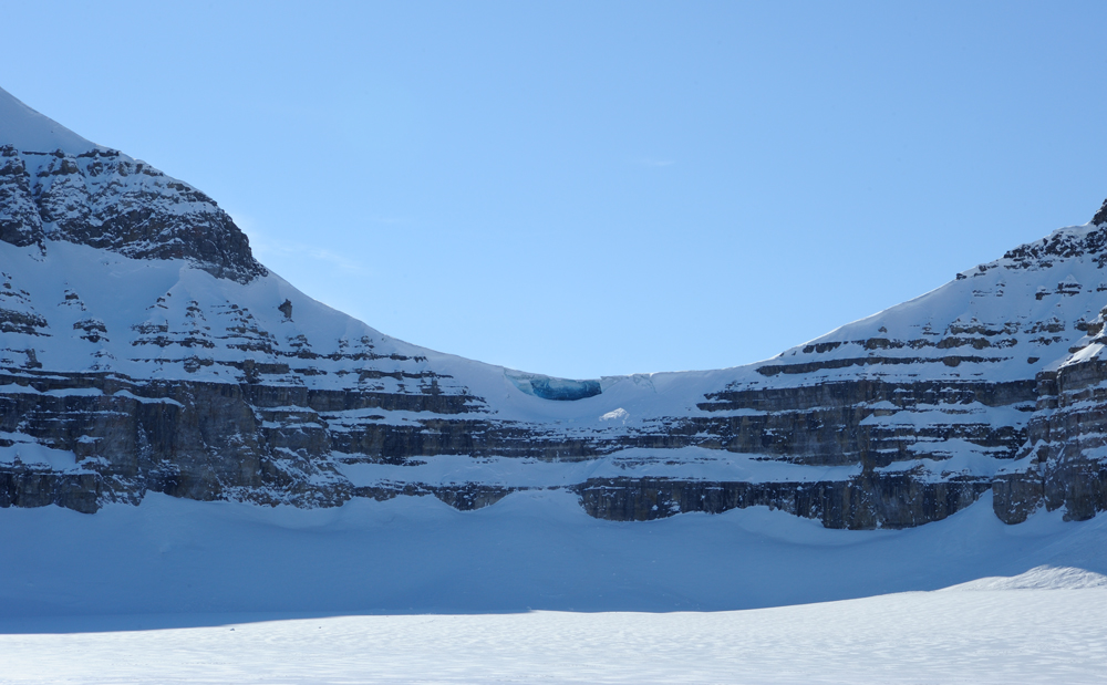
By the way, a couple of words about the pass that we didn’t choose yesterday. Here it is on the other side.
The pass closer. Vertical cliff, the corniche, and even cove in the ice. We were lucky that snowmobile trace led us away.
View of Kronebreen
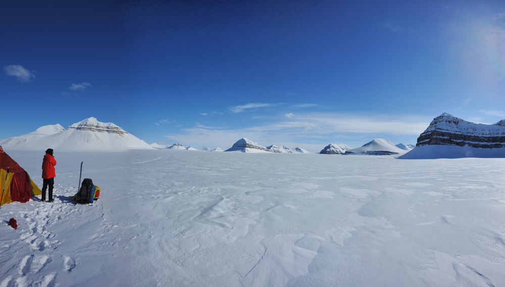
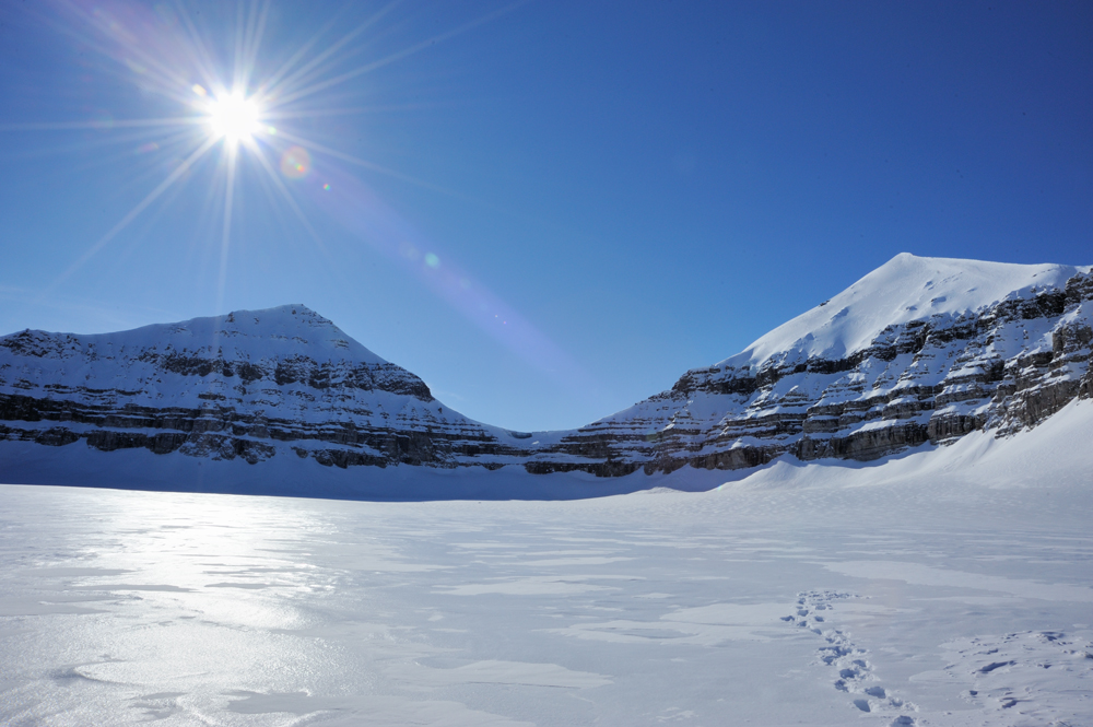
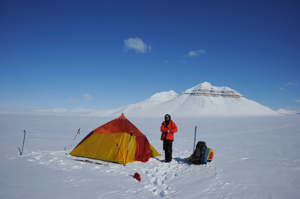
Our tent and the Crowns
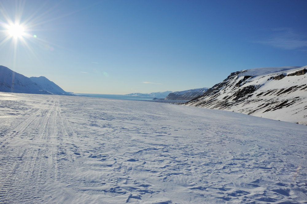
Started to move to Fatumbreen.
The ascent is quite steep.
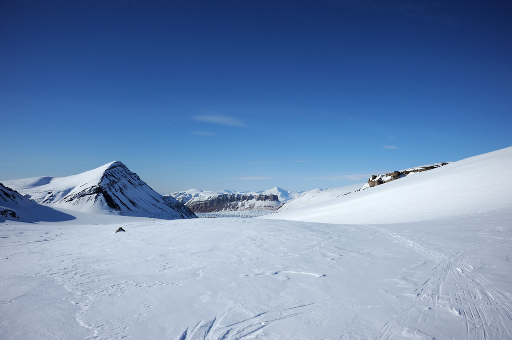
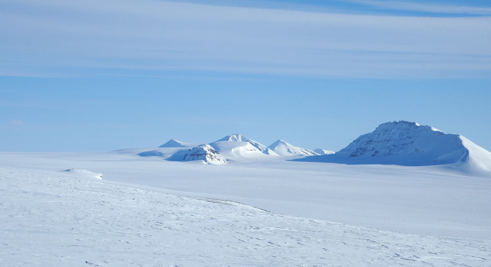
The Crowns behind us.
After the pass, the glacier becomes less steep and smoothly descents to the west. There are steep rocks around the glacier. Birds already started to arrive and make nests.
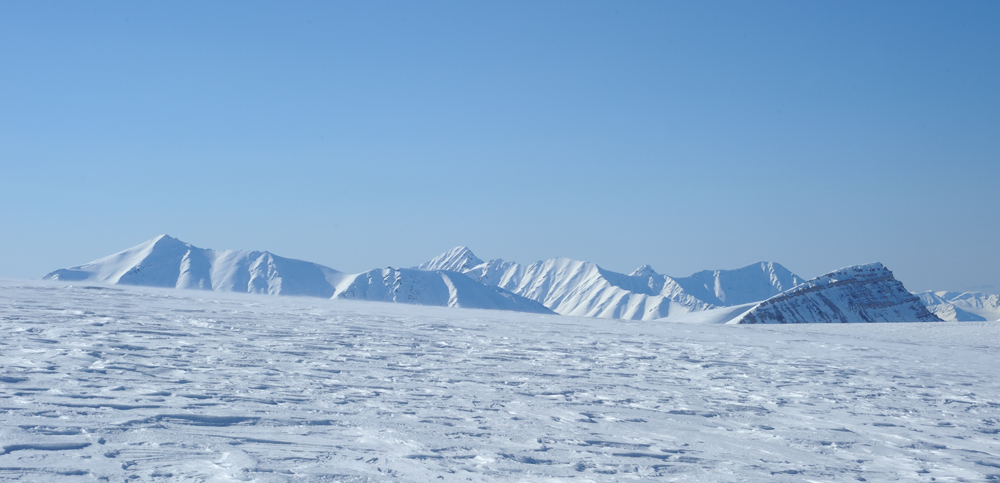
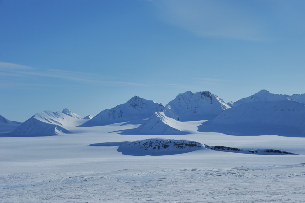
Mountains behind Kronenbreen
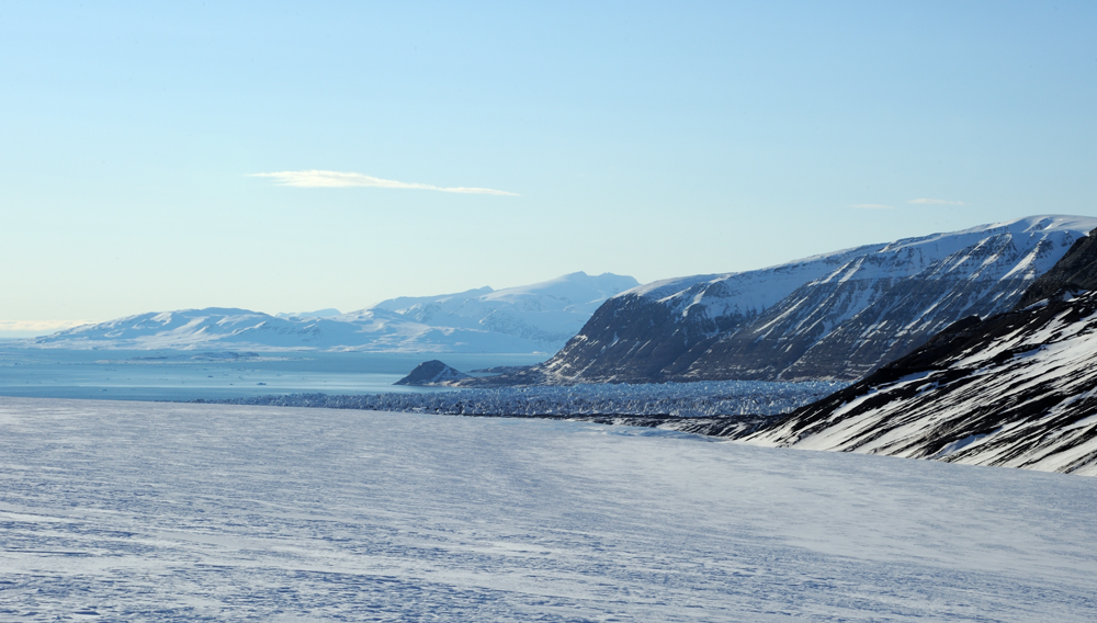
We came to the place from which we can see our potential descent to Kronenbreen.
The descent itself very steep and rocky, and also Kronenbreen behind it completely unpassable because of crevasses just right to the ocean.
Kronenbreen was definitely closed for us. So, we should descent to Kongsvegen and move along it to the ocean. We knew that Kongsvegen is passable, so we needed only to find a way to descent. We decided to use Garwoodhaugene, according to the map it is not too steep. Garwoodhaugene doesn’t under the glacier, but it should be covered with snow anyway.
And we descended along Garwoodhaugene as decided. The slope has a thin layer of snow, somewhere rocks with lichen and moss were visible. We sow many traces of arctic foxed and reindeers.
Kongsvegen ahead.
We made almost circle. The rock in the middle of the photo is the same where we camped day ago.
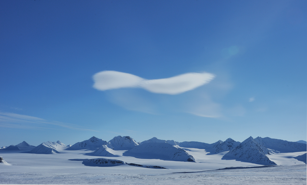
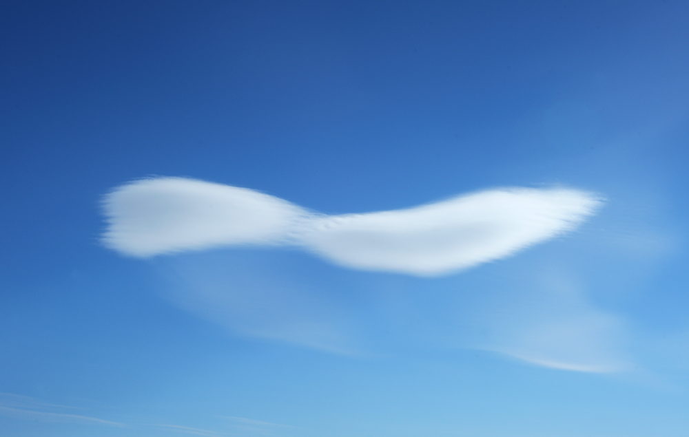
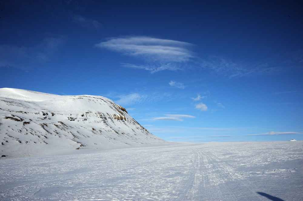
In this region, we met very unusual clouds. They were very dense and spherical and flew very independent of the other types of clouds. They also duplicated by dividing. Some of them very liked this process and started the second duplication when the first one was not finished yet.
We descended to Kongsvegen and found snowmobile trace.
And started to move along this trace to the ocean.
Soon we started to see Kronenbreen.
We set the camp from several kilometres to the ocean.
Movie:
To be continued…