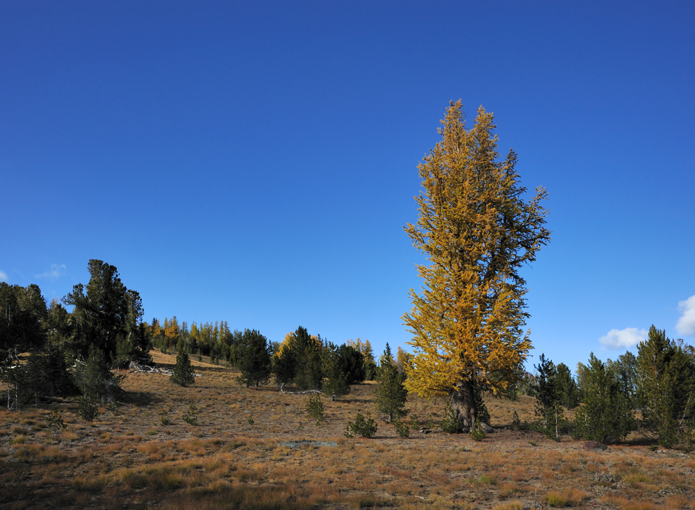
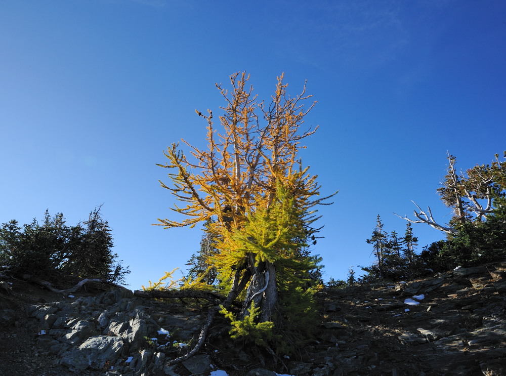
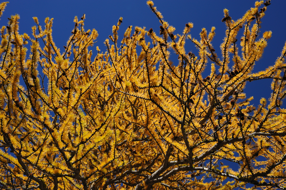
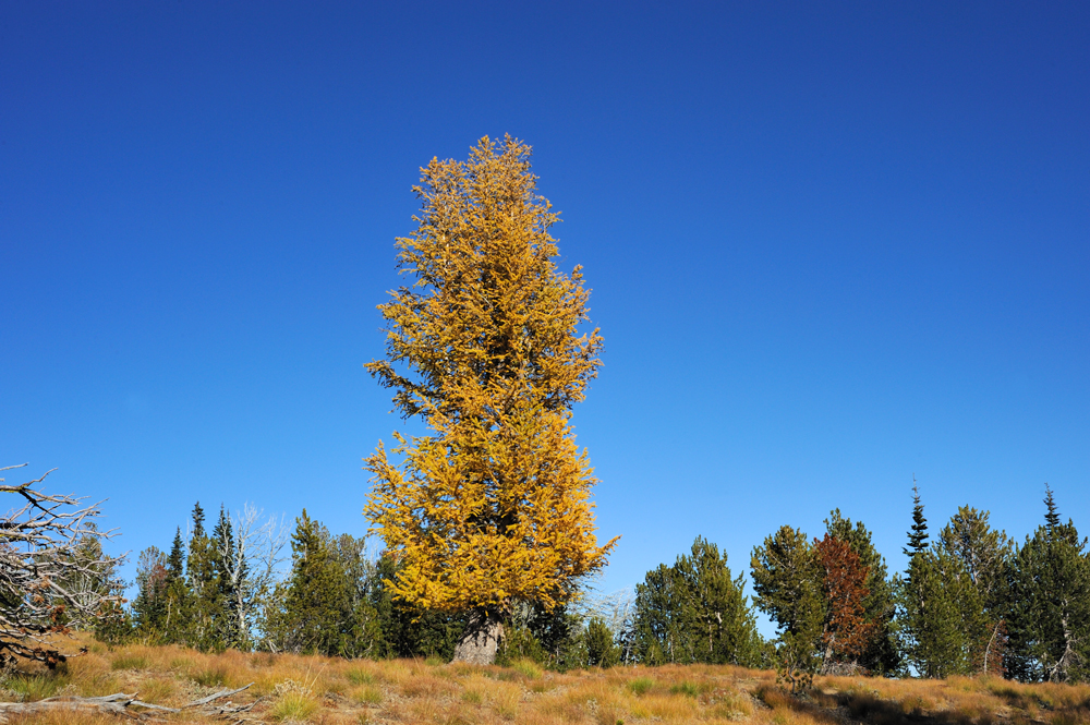
In my childhood larches grew just right in front of my home, but now it is every-fall action – hike to see golden larches., because in my current location, larches grow only in an altitude range of 1800-2100 meters, and the season of fall colours is short. However, I am still in love with this tree and don’t want to miss its fall colour appearance.
Last fall we didn’t see them. Because of the abnormally late spring, trees didn’t want to change colour and kept green needles until snow. So, this year, as soon we realized that larches started to change colour, we started to pack our backpacks. Moreover, the sun was promised exactly for the weekend.
For the first visit of this season (and we hope for the second one) we chose two lakes of Icicle Ridge, Augusta and Ida. We were on Augusta Lake twice: last time – this June, when we hiked Icicle Ridge via Augusta Lake, and the first time – three years ago, in the middle of September, when we hiked Augusta Lake and Big Jim mountain above the lake. It was too early for yellow larches, but we estimated the potential.
Ida Lake is located a little westerner of Augusta Lake on the same Icicle Ridge. We had never been on this lake before, but the descriptions were promising.
There is a good trail to Augusta Lake from 2nd highway, well at least it was good three years ago. From Augusta there is a trail to Carter Lake, we hiked it this spring. We were not sure that there is a trail to Ida Lake from Carter Lake, but it is close enough to do it even without a trail. So, it was a plan for a two-day hike: Ida Lake via Augusta Lake and back with a night on the lake.
So, we started in the morning of September 30.
What I can say. For the last seven years that we actively hiked in this region, no one trail improved its conditions, but the conditions of many trails have become much worse. Same story with the trail to Augusta Lake.
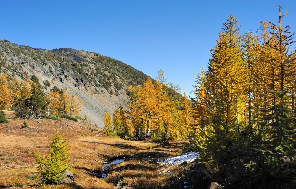
About the third part of the way to the lake is a very steep ascend to the ridge, and after a less steep way along the ridge. There was a forest fire here many years ago, and now some dead trees stay here and fall from time to time. During strong winds this or last year plenty of trees fell at once, and now the first half of the trail is a total logjam. And because this logjam on a very steep place, it makes the movement through is quite unpredictable. In the Peer’s move at the end of the post, you can see some examples.
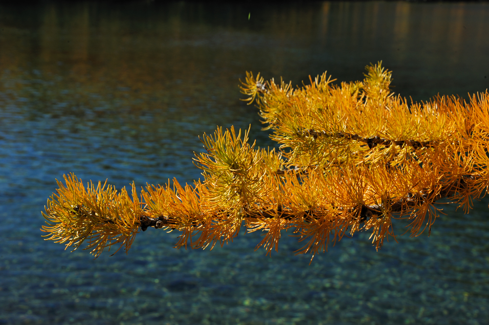
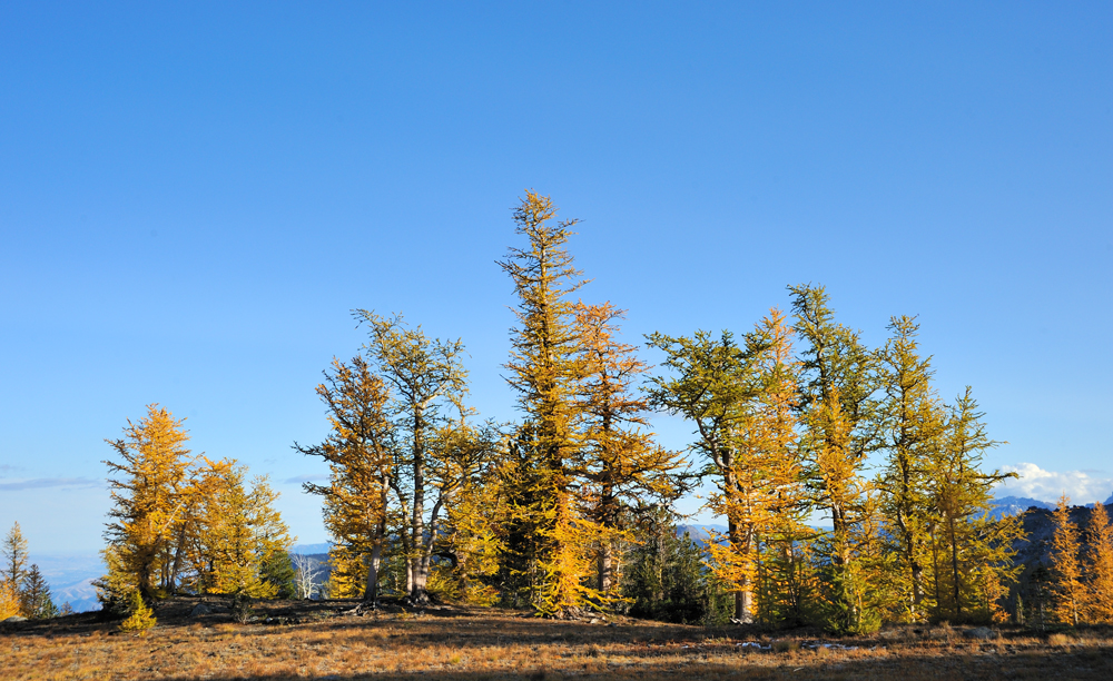
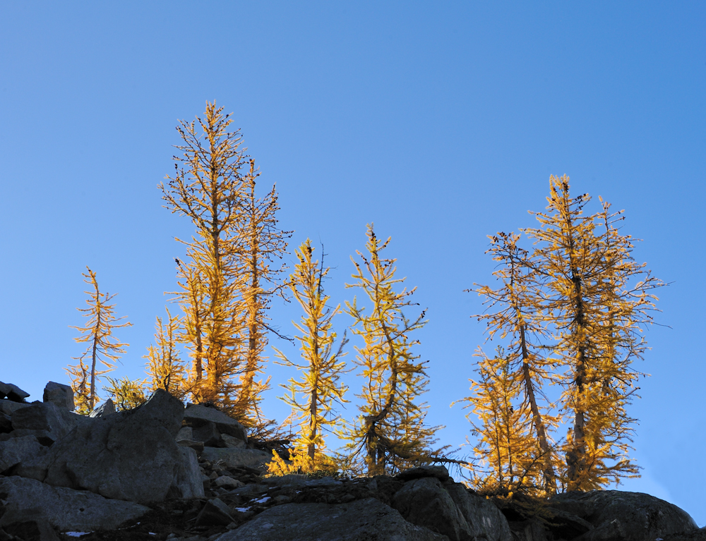
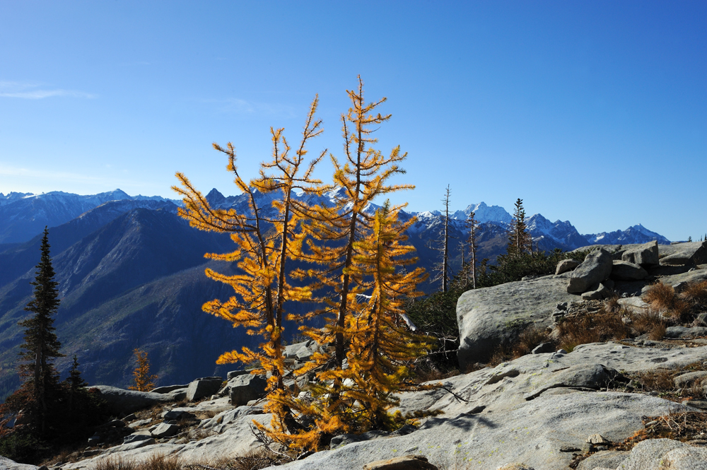
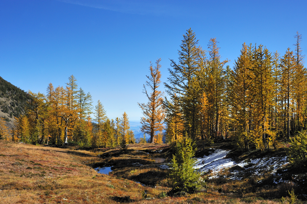
After a long log climbing, we finally came to the larch place.
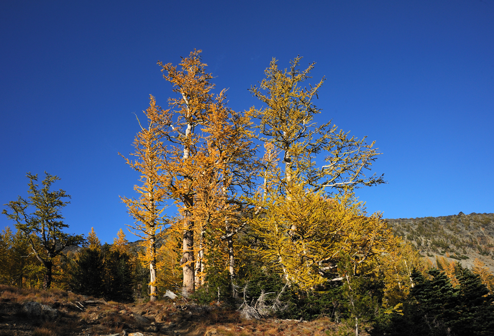
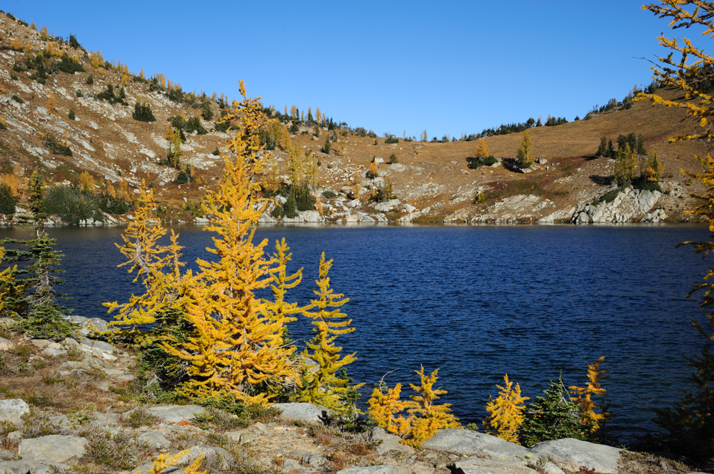
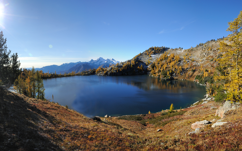
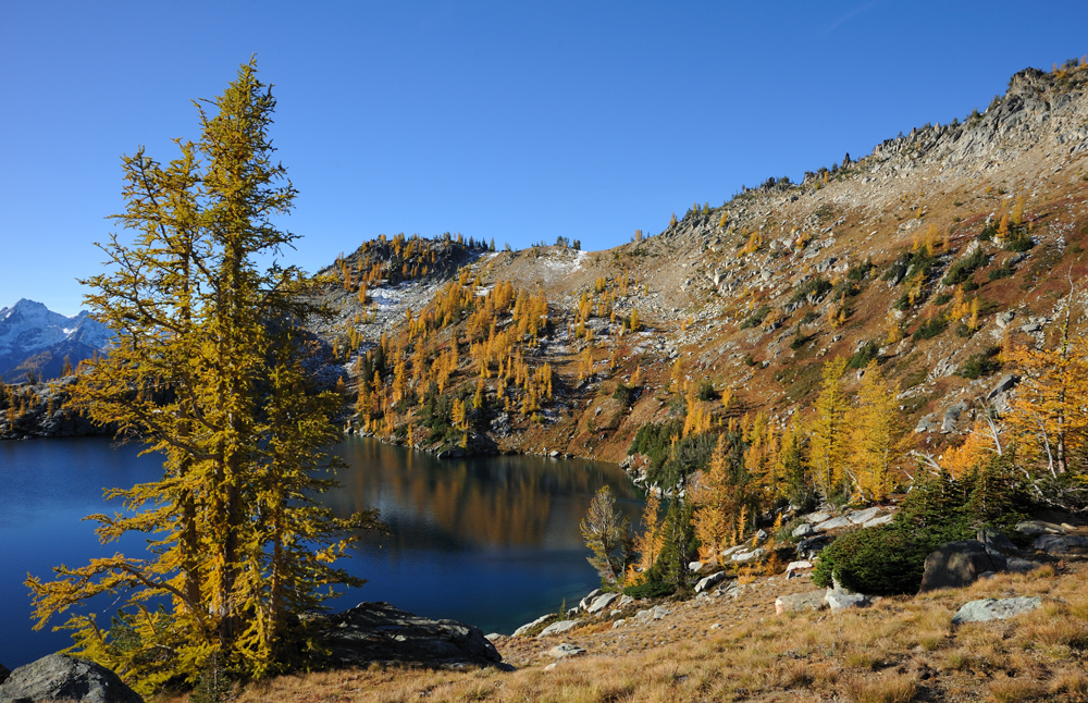
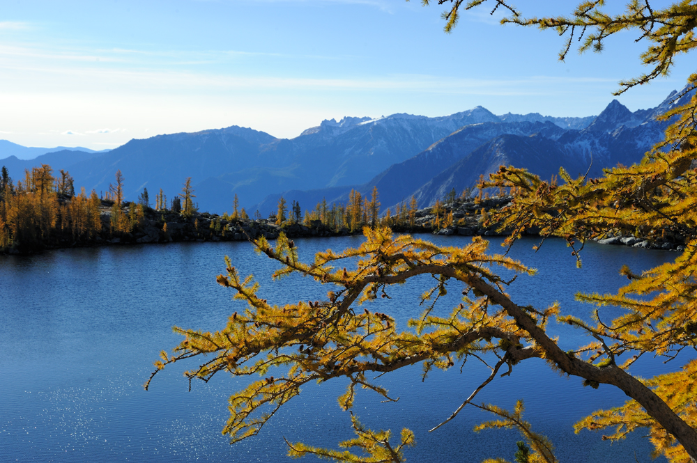
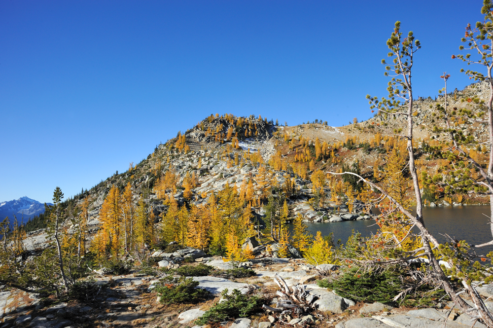
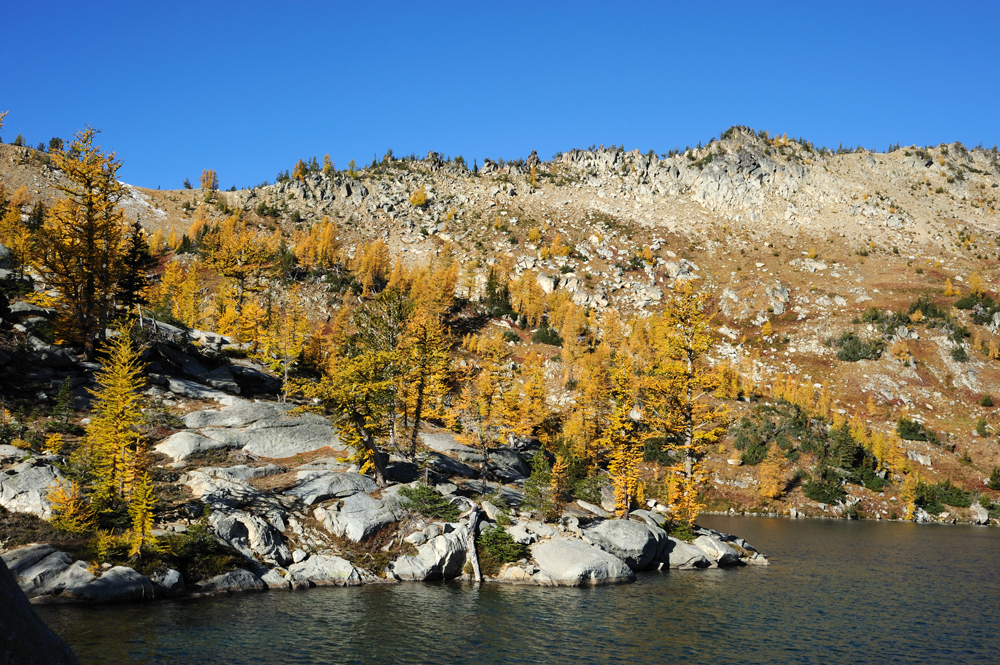
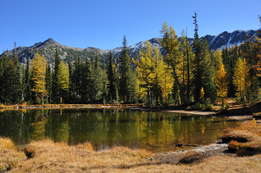
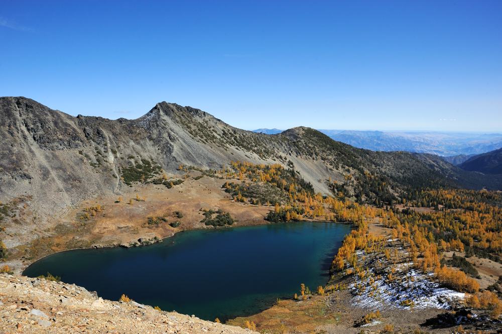
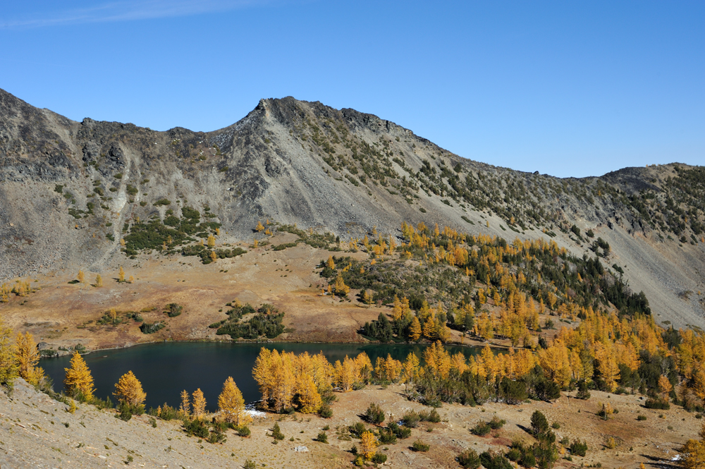
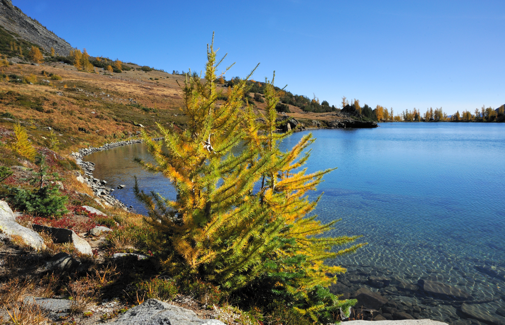
Augusta Lake
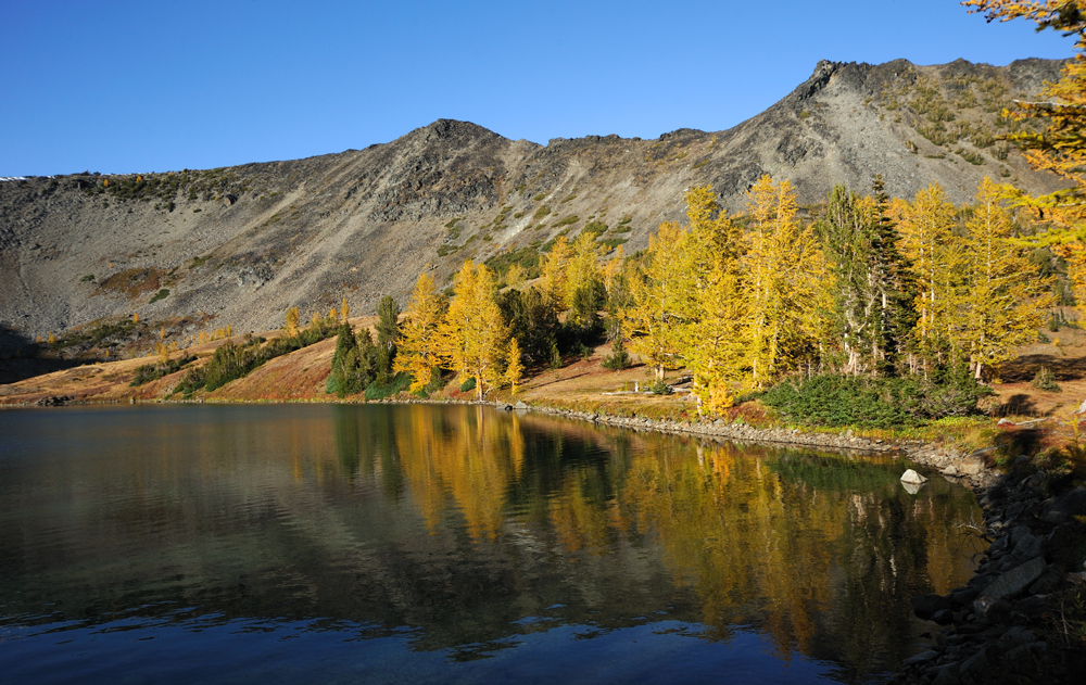
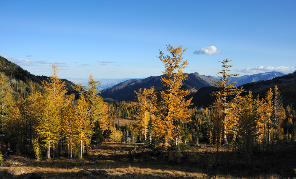
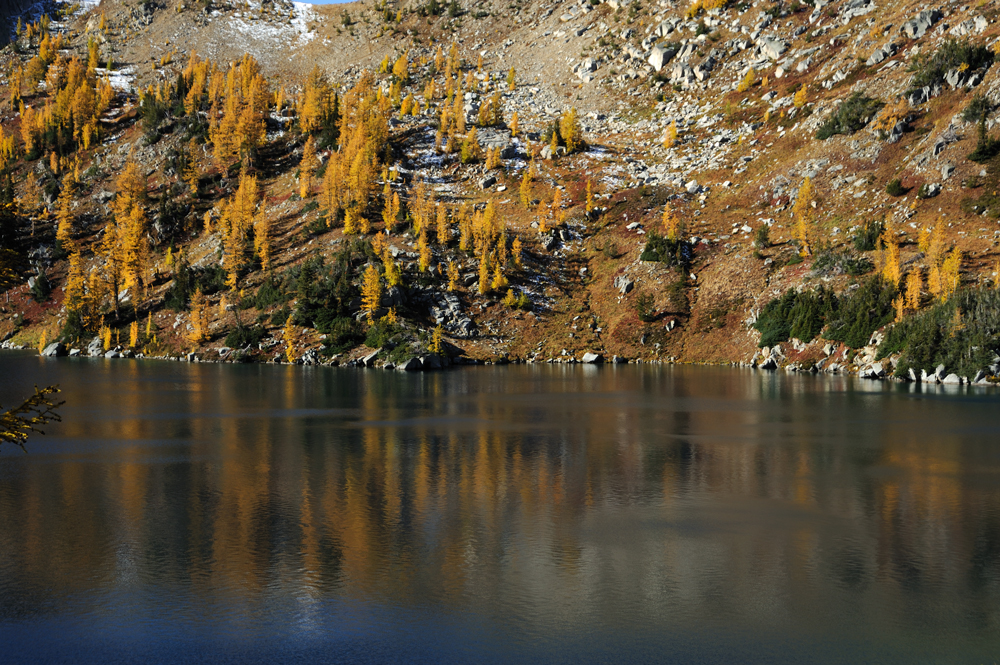
We came back to Augusta the next day with the better light, and now we proceed to Ida.
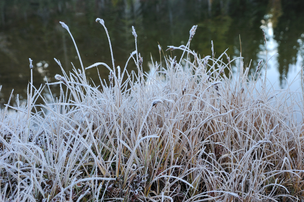
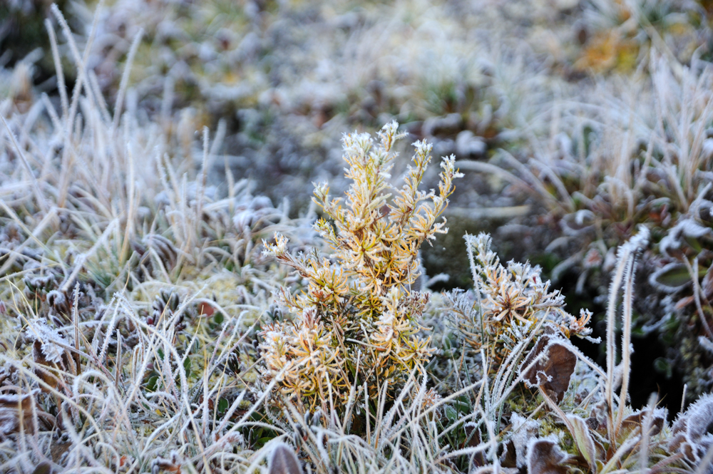
During the night the temperature was below zero.
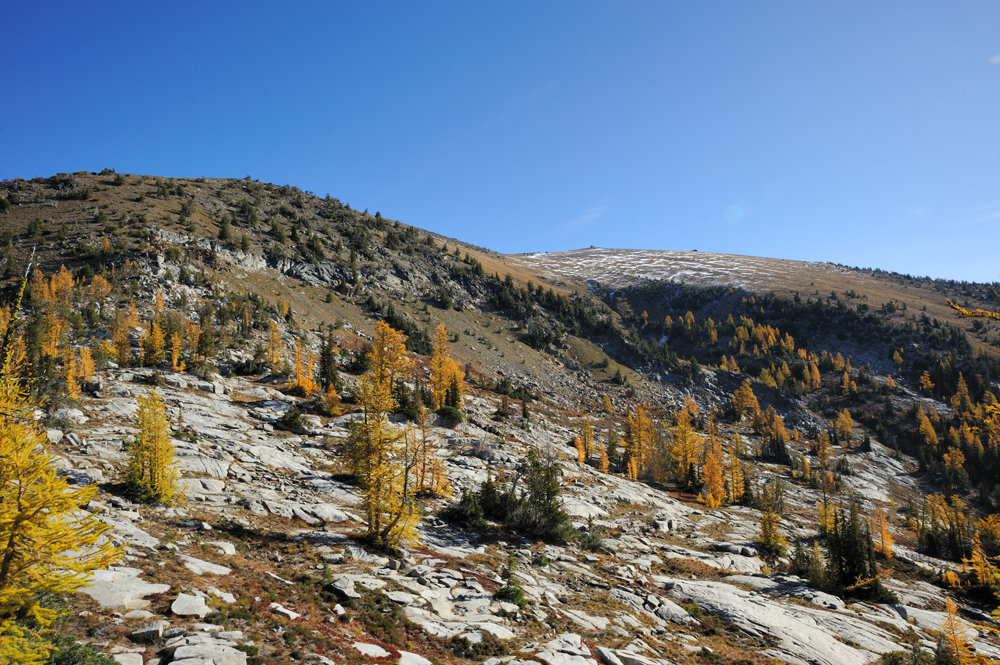
The trail from Carter Lake to Ida Lake almost disappeared because of rare use, but the way to the pass is easy even without a trail.
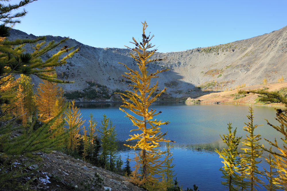
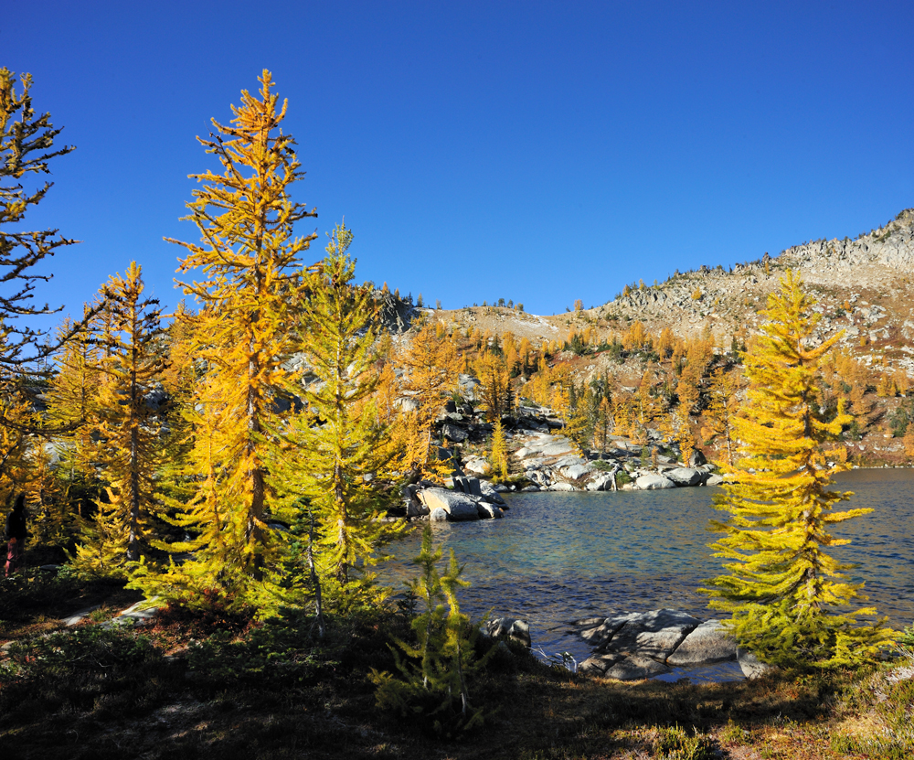
The pass.
Ida is right behind it.
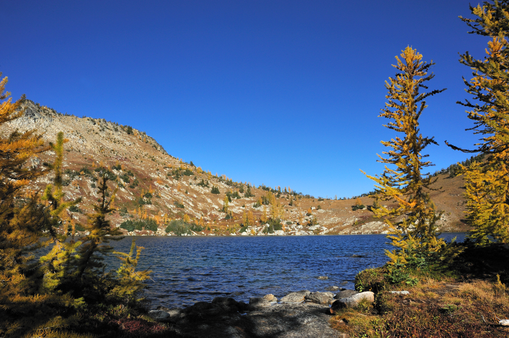
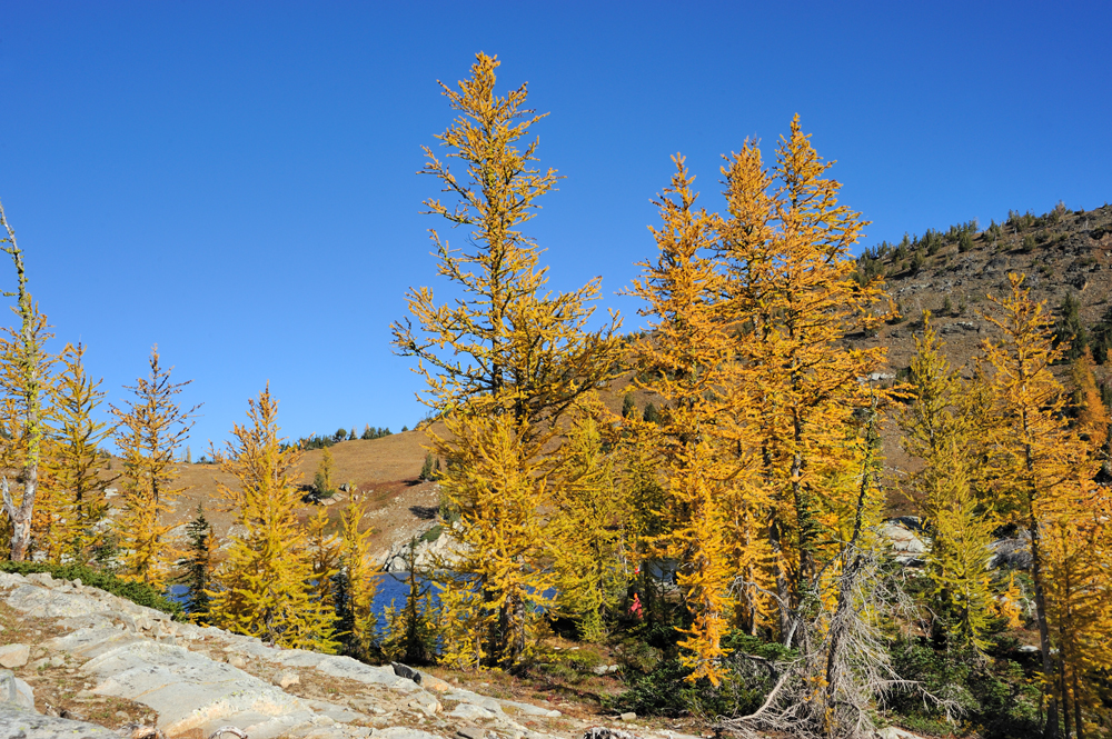
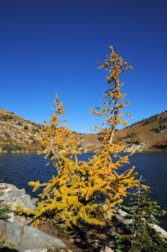

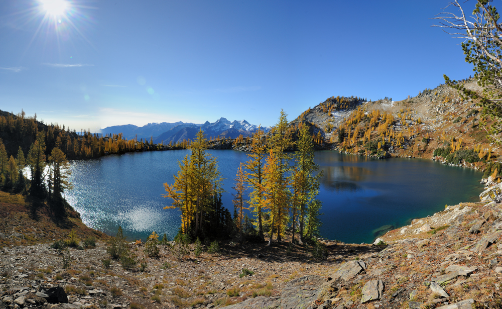
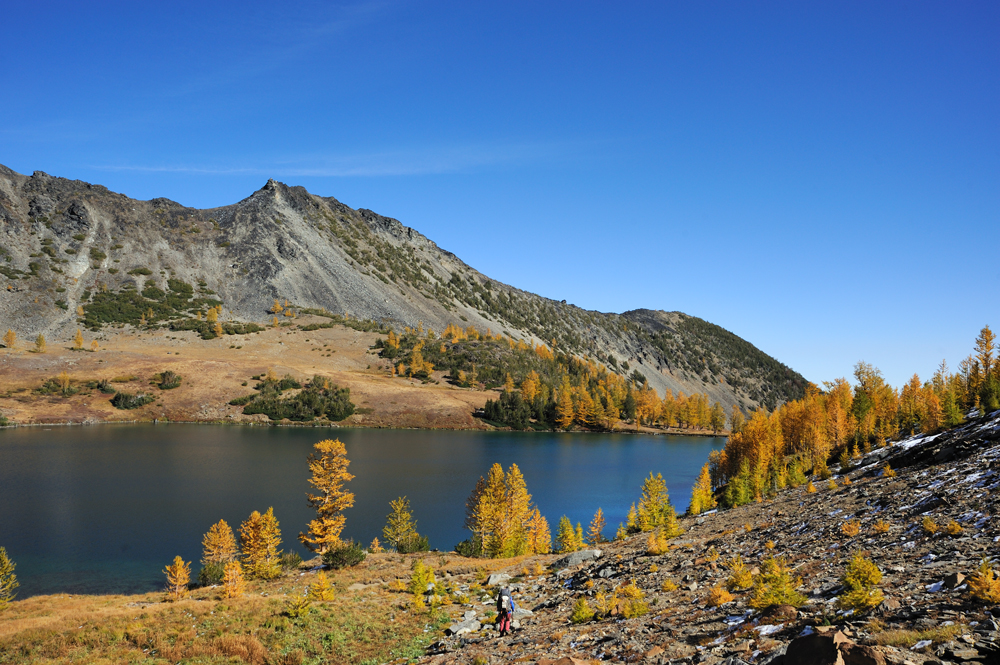
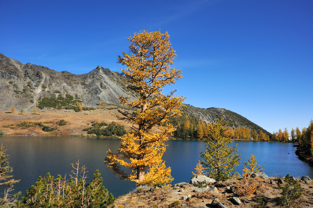
Ida is beautiful. So pity that we cannot stay longer, but we definitely will be back some time. Now time to return.
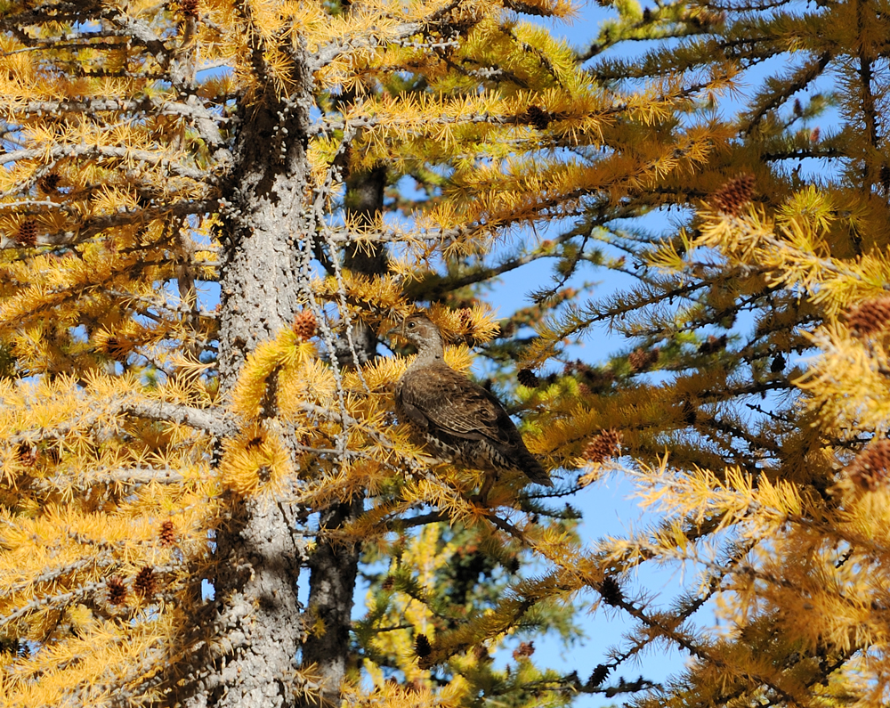
On the way back to Carter Lake we met the grouse family.
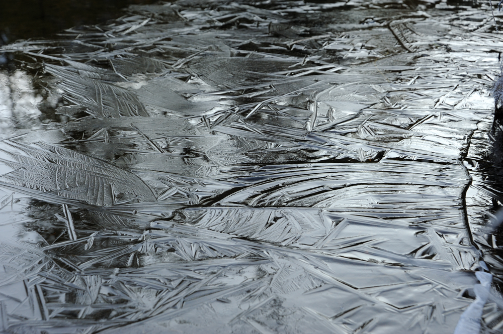
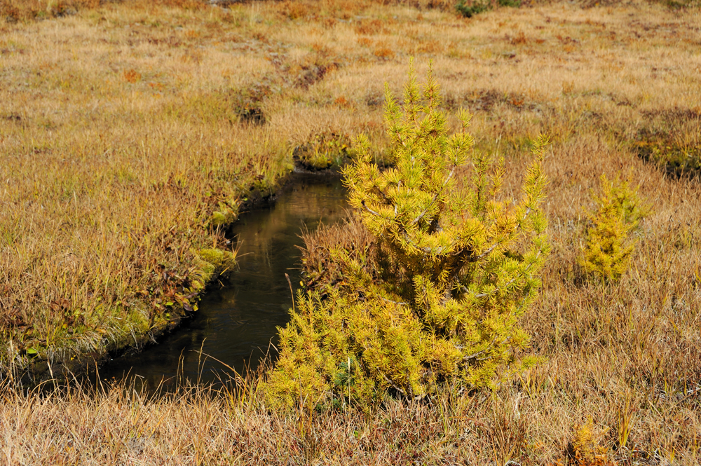
A swamp in the middle of the way from the pass to Carter Lake.
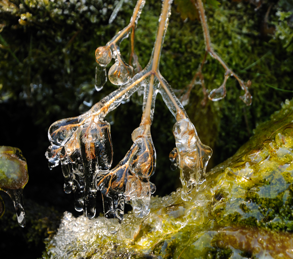
For some grass winter already came.
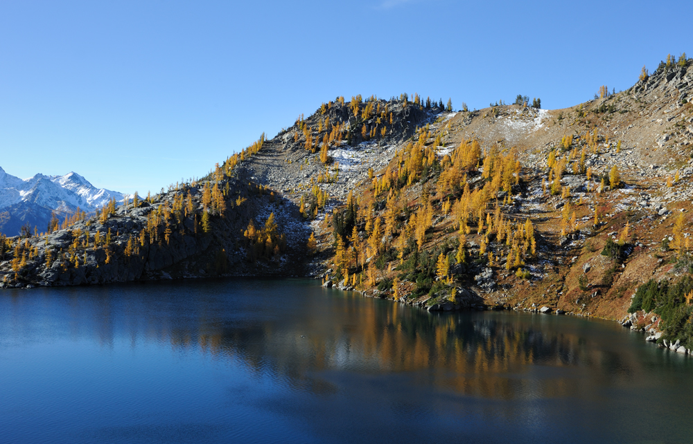
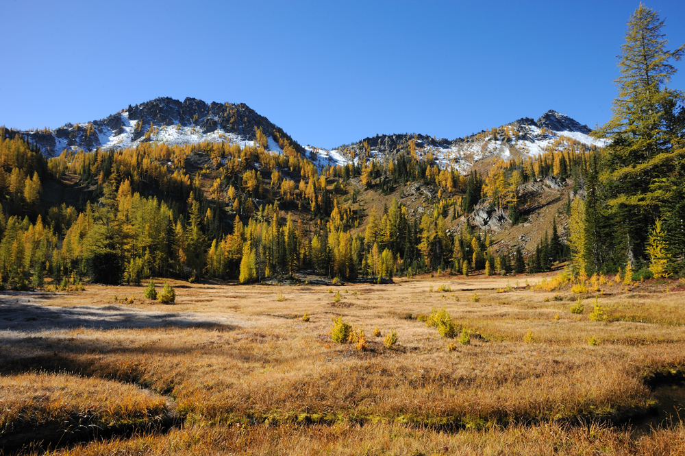
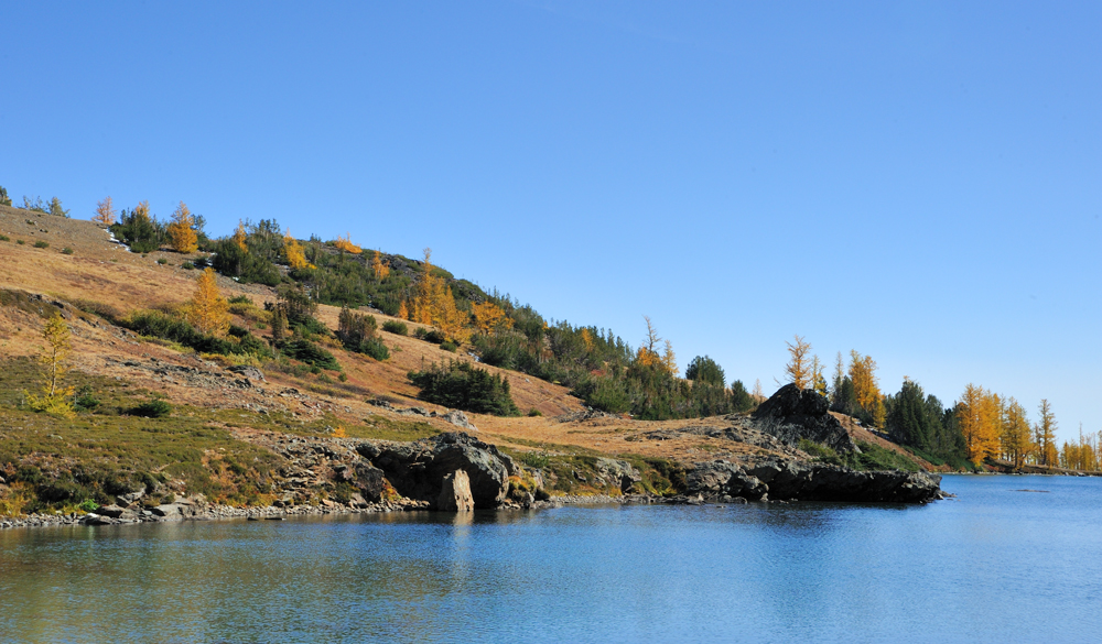
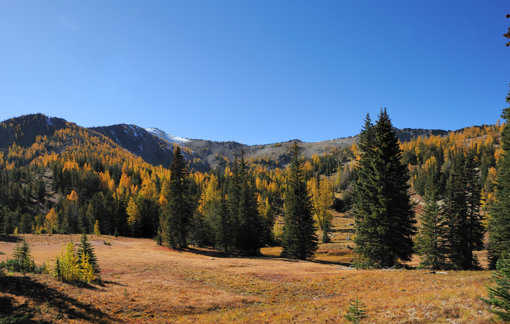
Carter Lake
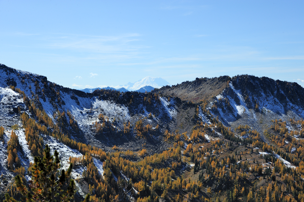
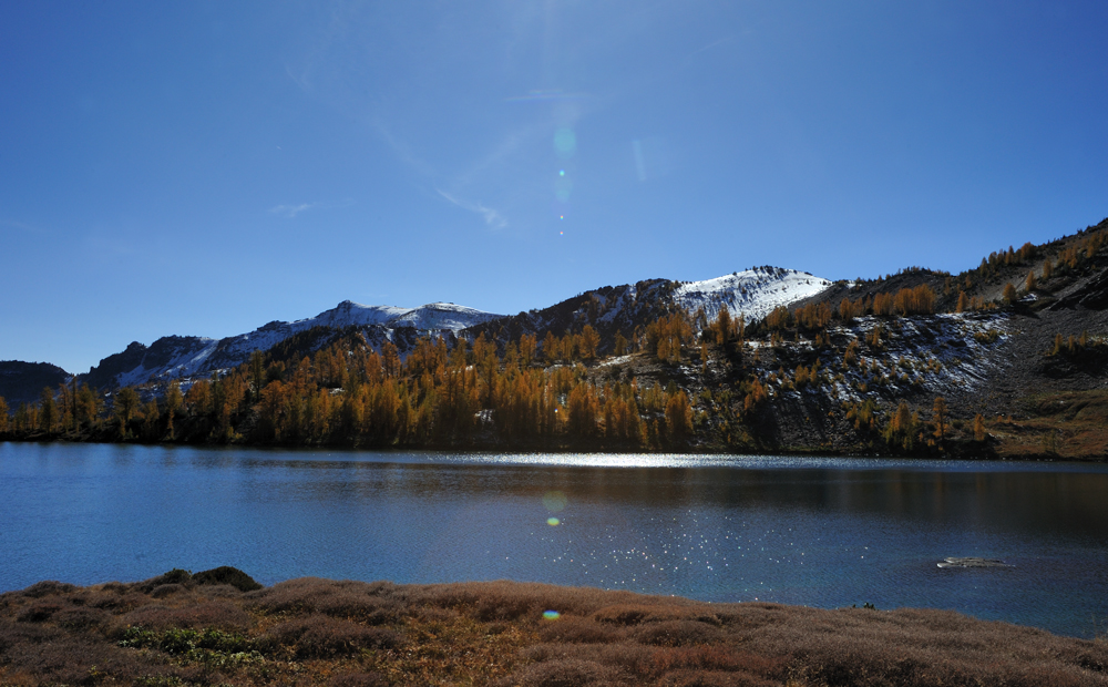
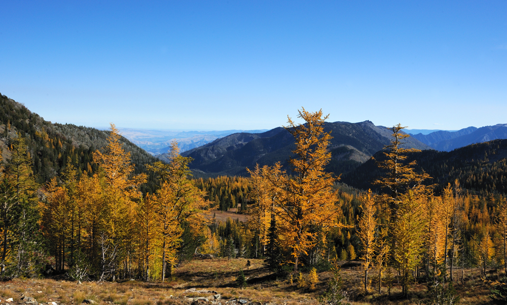
Back to the pass to Augusta Lake. Mt Rainier.
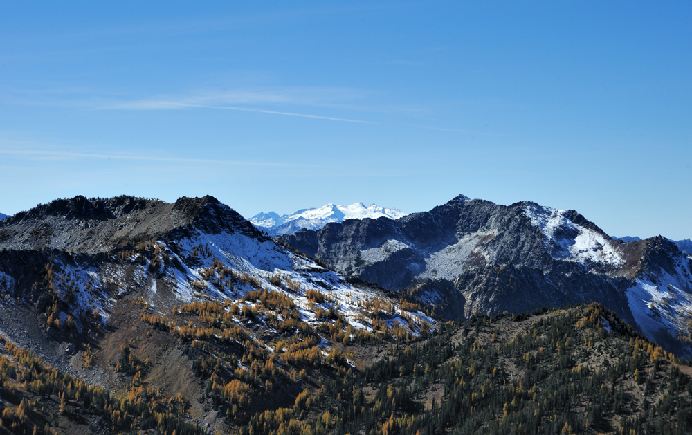
And Mt Daniel.
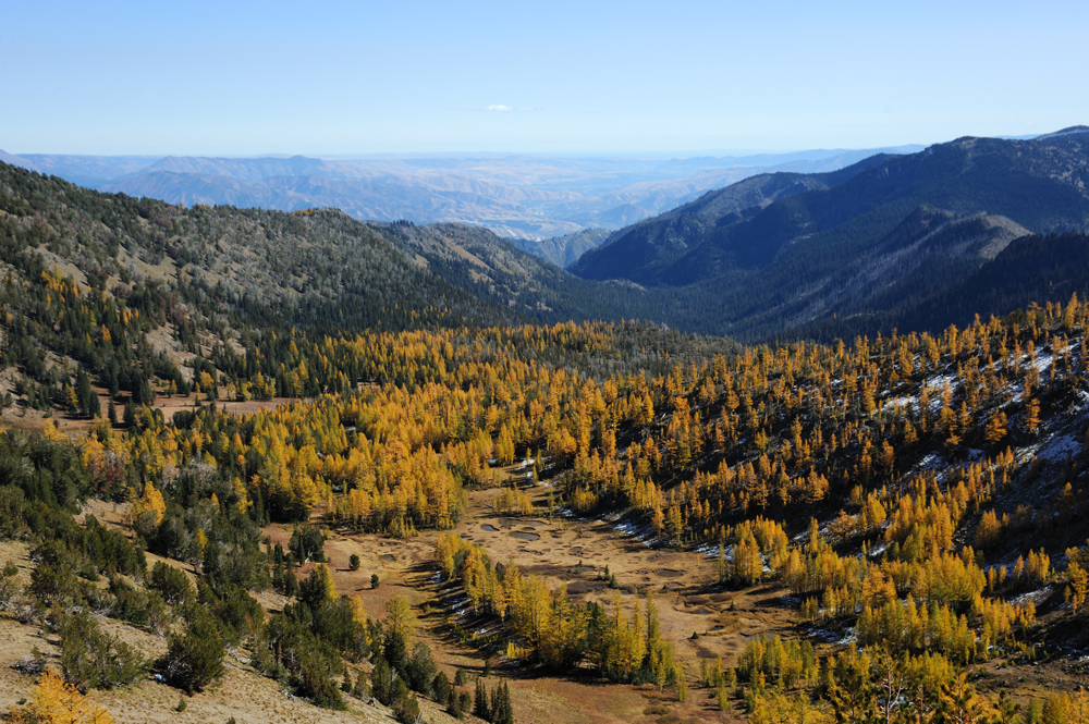
This is the other side of the pass. The is Icicle Creek far below.
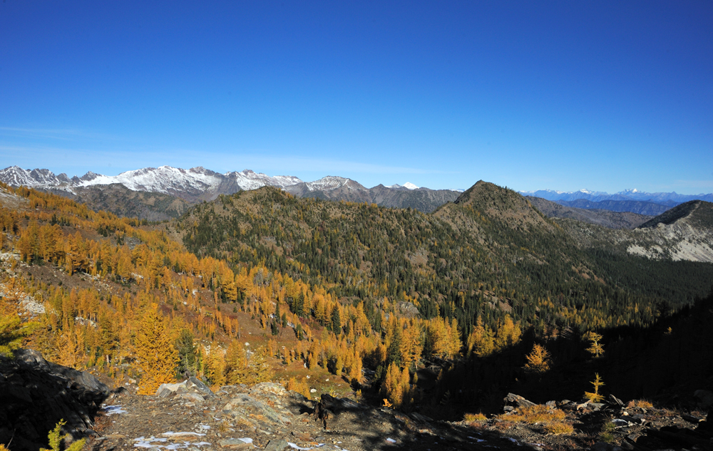
Augusta from the ridge.
Descent to the lake.
We wanted to stay longer, but it was time to go down because the logjam ahead of us required daylight to pass safely. Also, the gravel rod from the parking lot to the highway, even as short as five kilometres, was so bad that it also required daylight to pass.
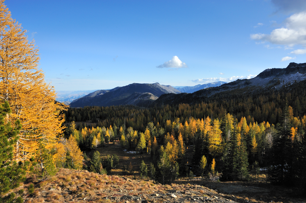
Buy-buy, golden larches, hope next season we will meet again.
Moving time we calculated precisely. Darkness fell as soon as we reached the asphalt road.
Both lakes, Ida and Augusta, are beautiful. We will be back. For Ida, I want a whole day in the summer – to swim, hike the surrounding mountains, and swim again.
We were lucky with the weather. It was sunny, calm, and even warm during the daytime. We also were lucky with people, actually, with their absence. Ida Lake was for use alone, on Augusta we met only three persons. Nice.
Thus, 36 km, 2270 meter elevation gain, and about 300 fallen trees on the way (the last one from the ranger’s note on the trailhead; I didn’t count myself, I just climbed over).
Movie by Peer: