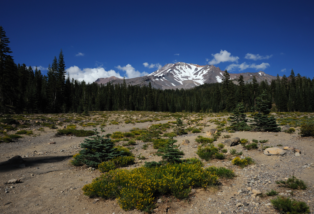
Mount Shasta (4322 meters) is the second-highest mountain of the Cascade Range after Mt Rainier. She is not our backyard mountain, but close enough, that often brings the thoughts about coming to her.
We climbed Shasta four years ago. It was the successful climb, but not very pleasant, because we did it in the fall, actually on the almost last day of September, there was no snow, only runny scree and plenty of dust. The best time for Shasta is spring and early summer when the mountain is covered with deep snow, and you can also enjoy your climb, not only do it.
All this I strongly remembered in case if we decided to go on Shasta again.
Unfortunately, I am not a person who can avoid a mistake repetition. Our friend wanted to climb Shasta and we couldn’t resist to her desire. So, we decided to go to Shasta again, and the time for this was fall again. For a change, we decided to climb not only the main summit but also Shastina, the second peak of this stratovolcano.
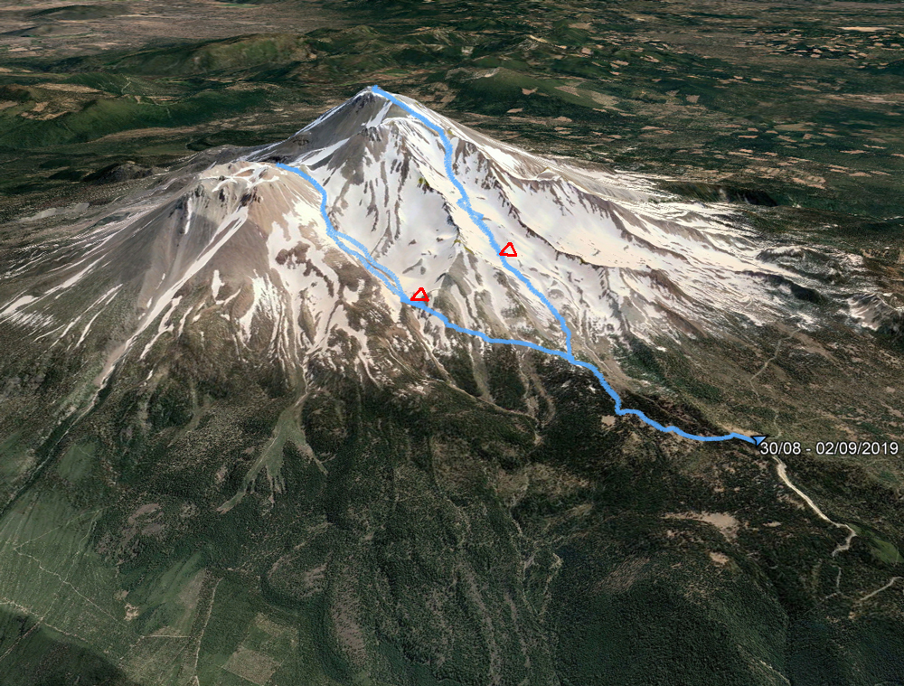
Our GPS-track. Triangles – our camp places.
Because this time we made it a month early, we got some snow. It significantly improved the situation. So, there is a chance that if we decide to come to Shasta again, it would be the right time for climbing.
So, on August 30 we flew to Metford, rented a car, drove to Banny Flats, and hit our trail about 4 pm.
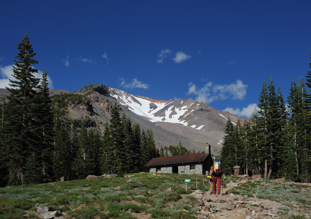
Horse Camp
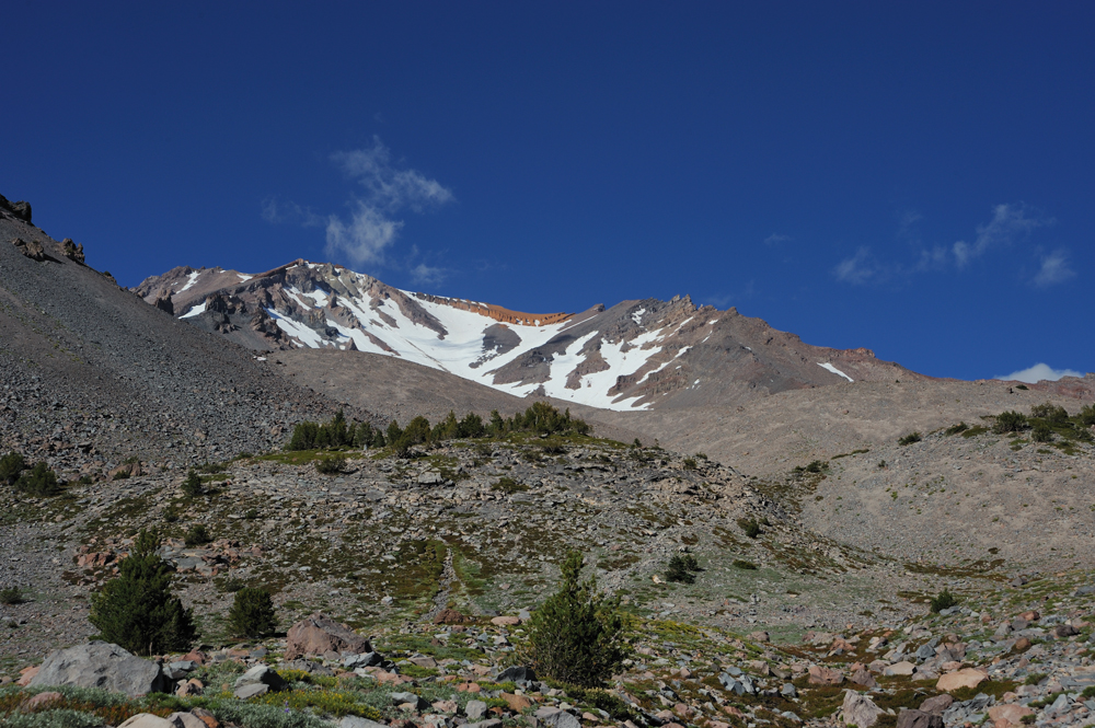
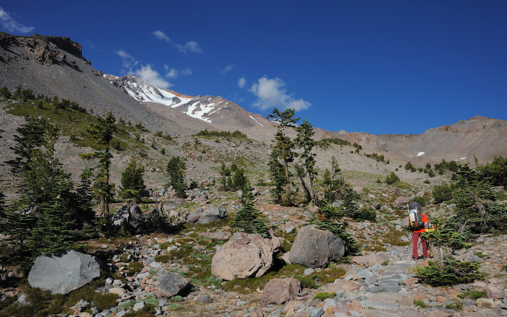
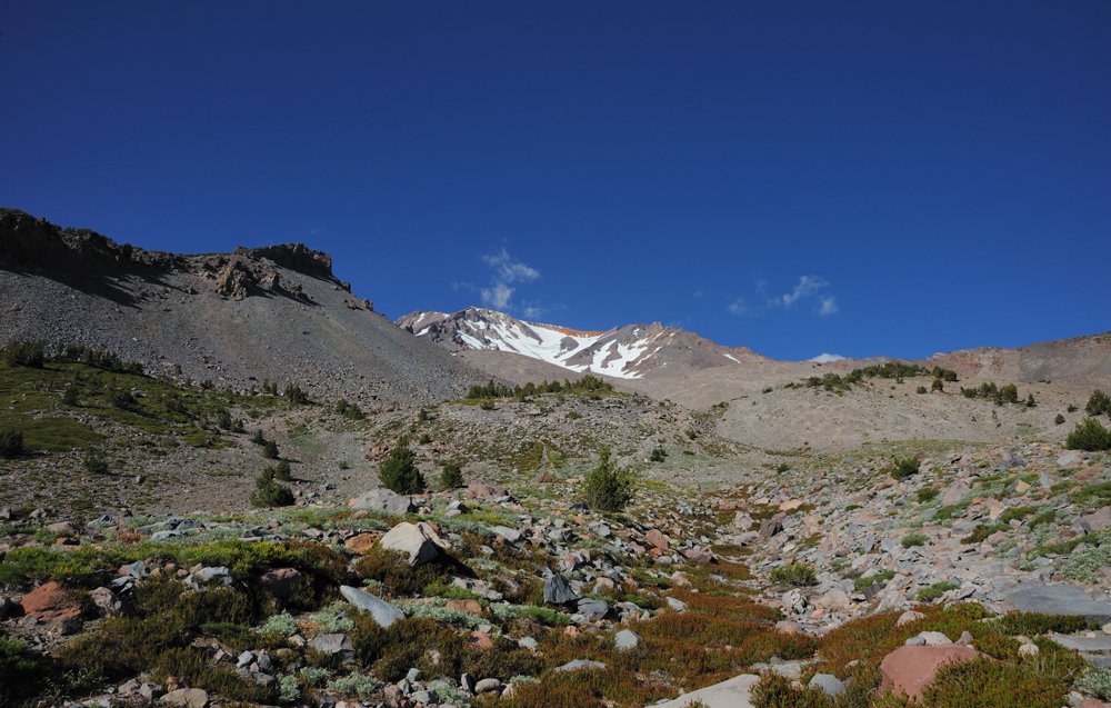
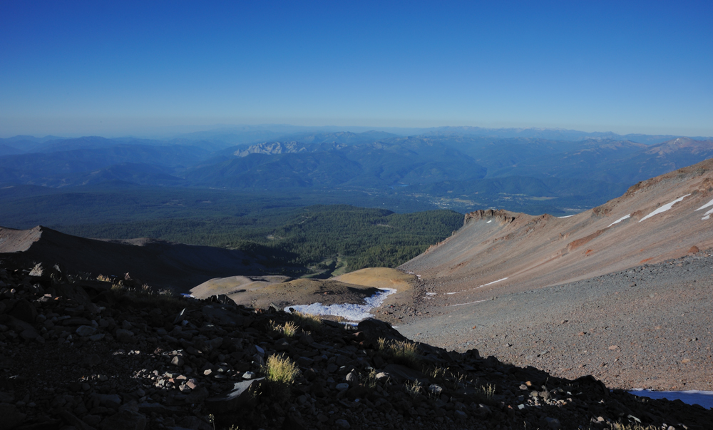
The trail to Helen Lake.
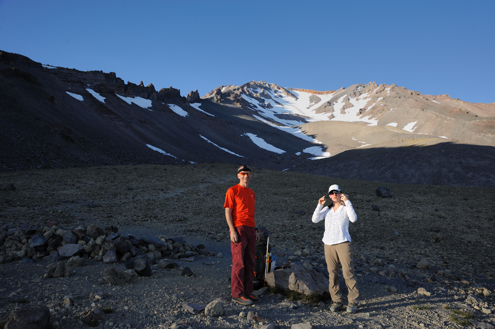
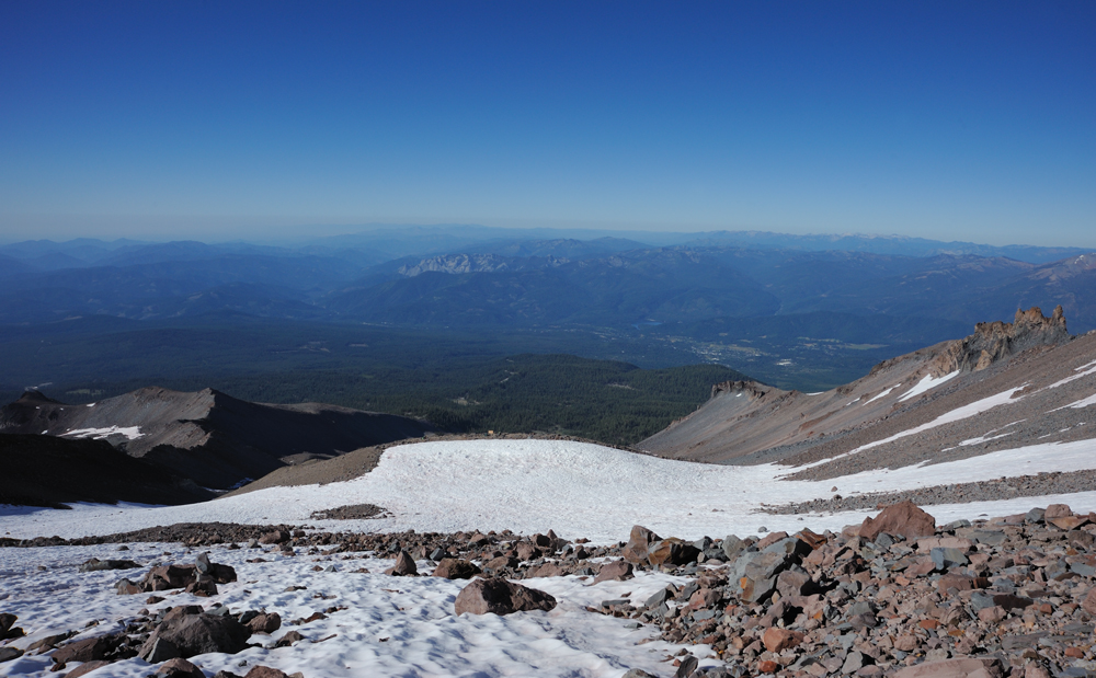
We decided to camp a little lower Helen Lake to avoid crowds.
My partners in a discussion about the camp place.
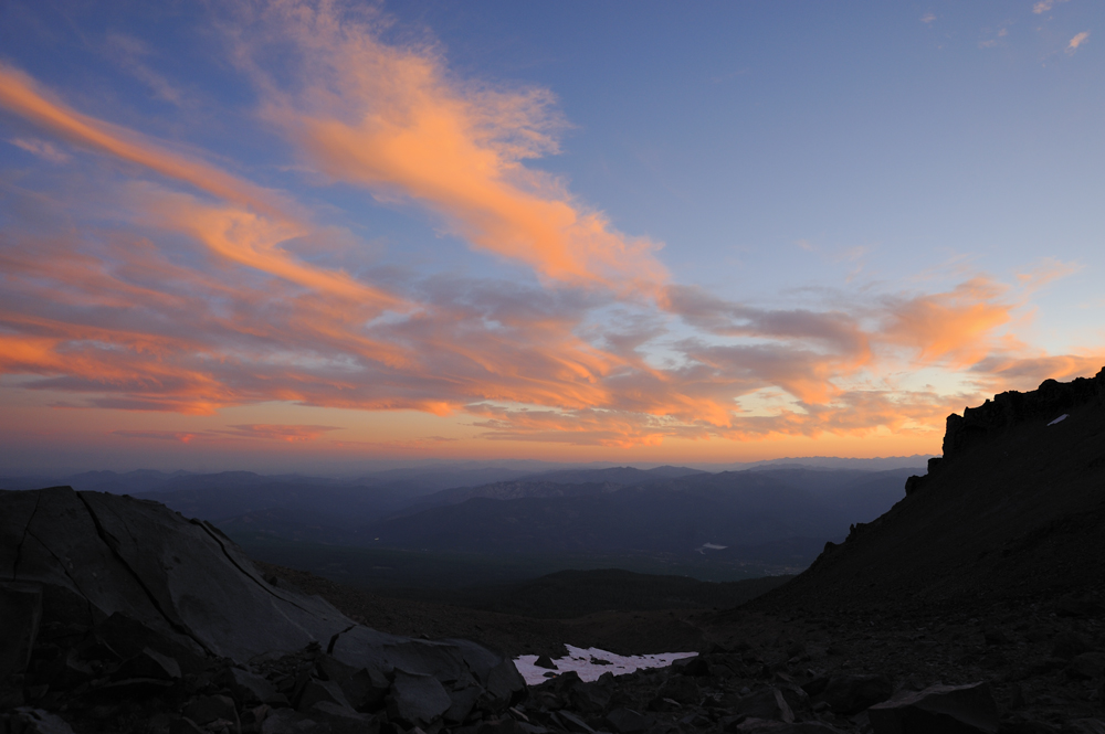
Sunset

Next morning we started our way up.
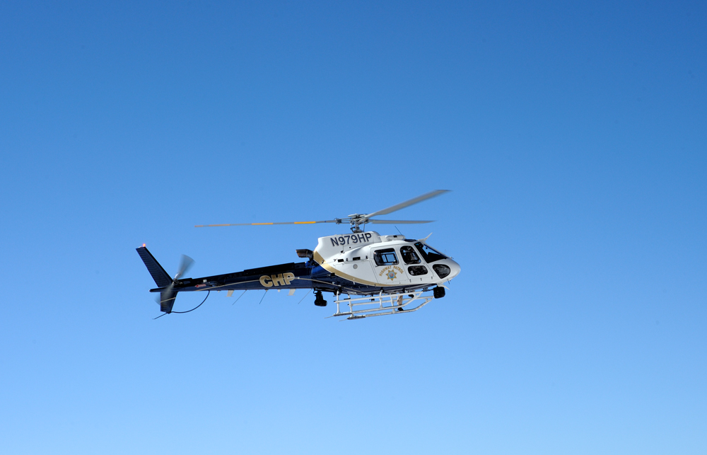
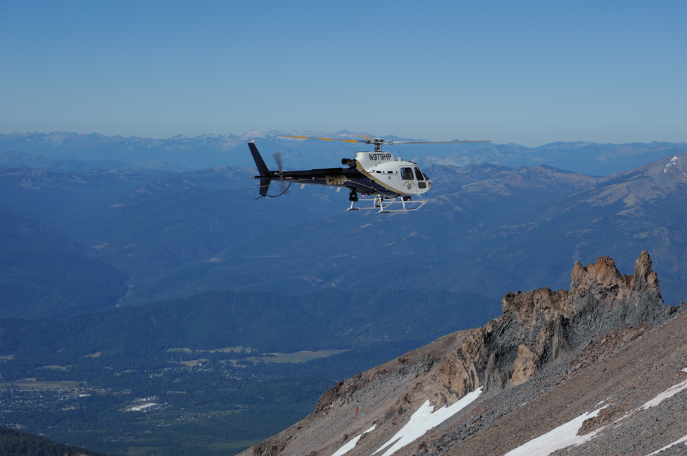
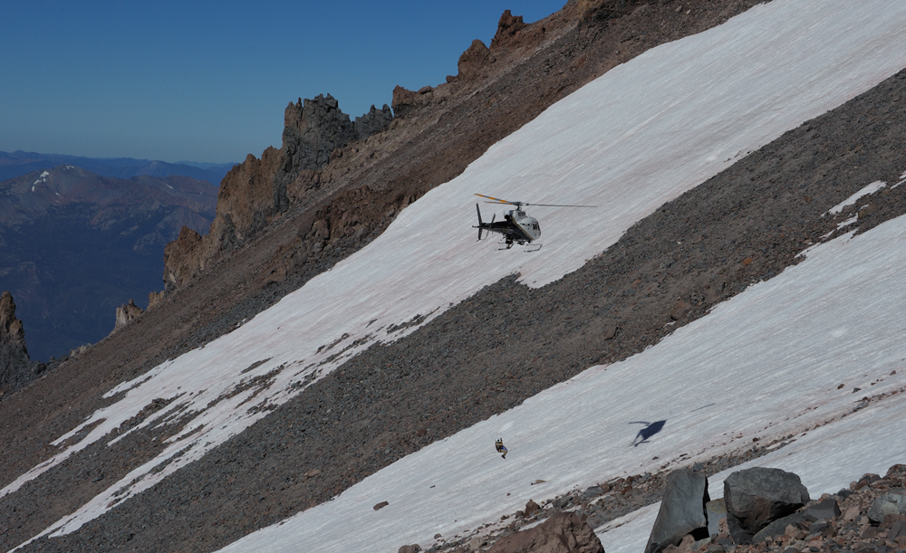
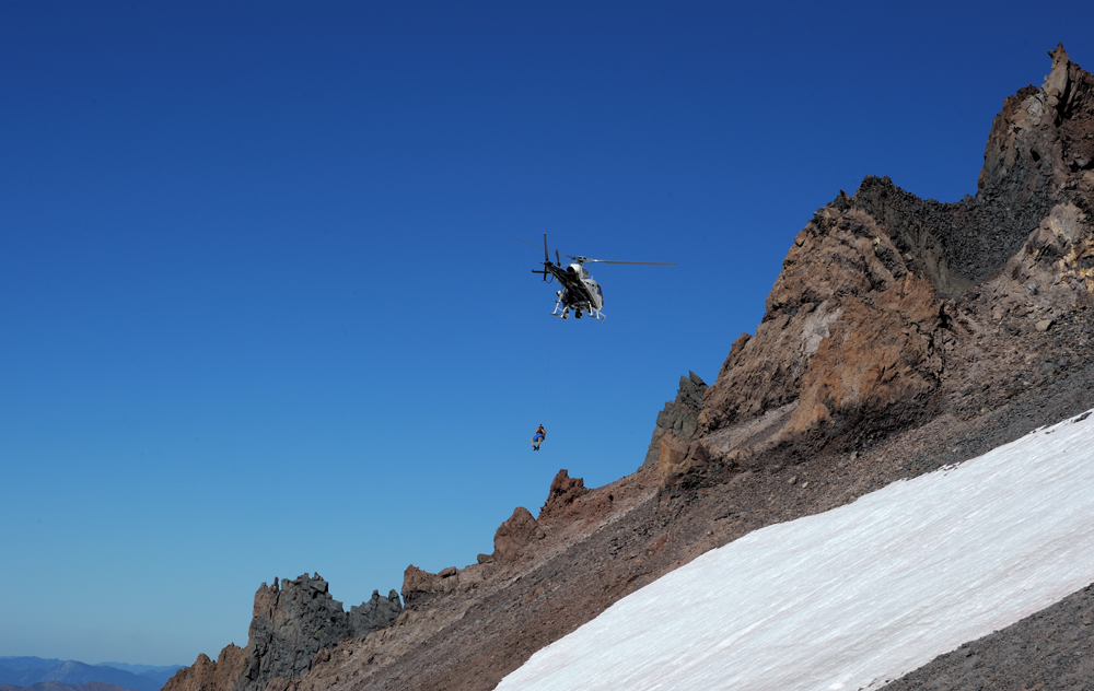
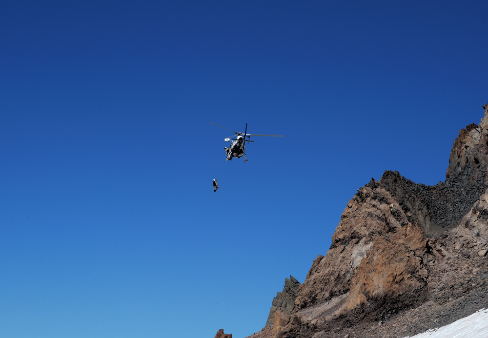
Slightly above Helen Lake, the rescue operation had a place. The party from Mexico tried to reach the summit via Casaval Ridge (that is not really reasonable at this time of the year) and was hit with a rockfall. One of the party was very unlucky.
This is Casaval Ridge, and rockfalls are continual in this season, day and night.
When we came, the injured person was already taken to a hospital by a helicopter. Here is the second flight of the chopper, it picked up one of the rescuers. The second rescuer decided to use the situation and climb the summit after the rescue operation.
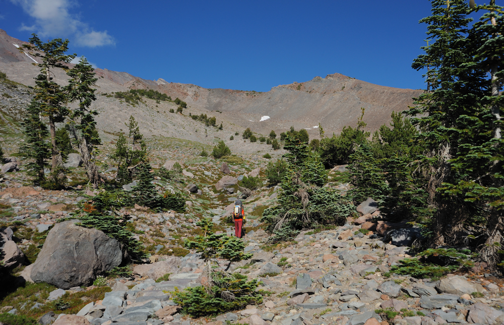
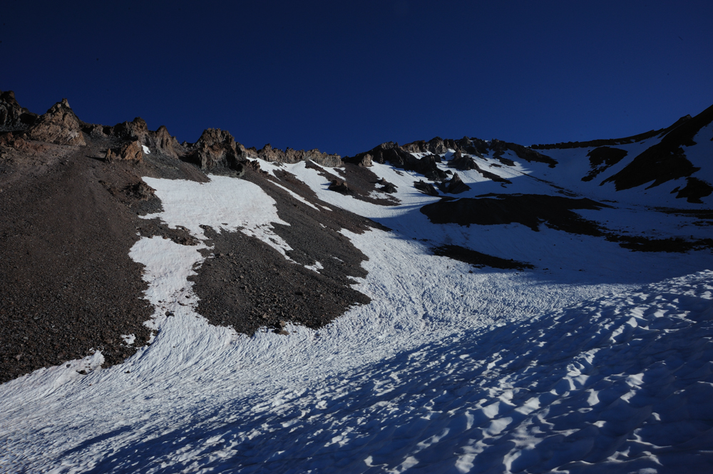
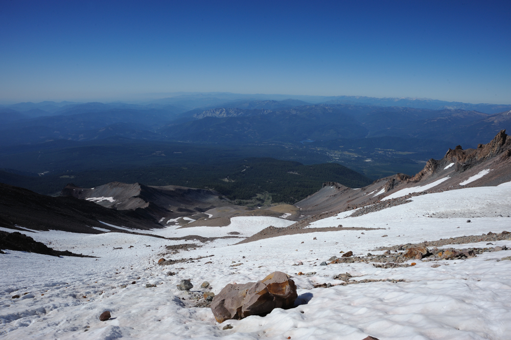
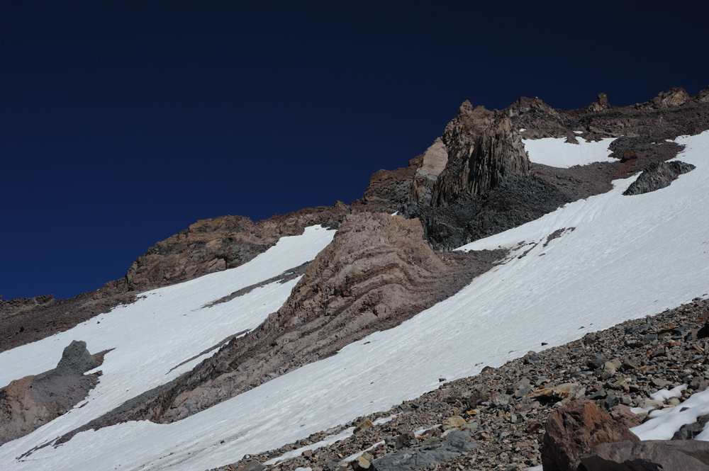
We continued our way up.
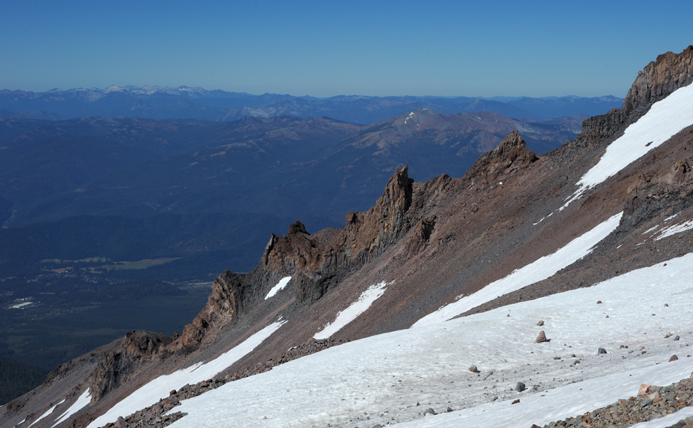
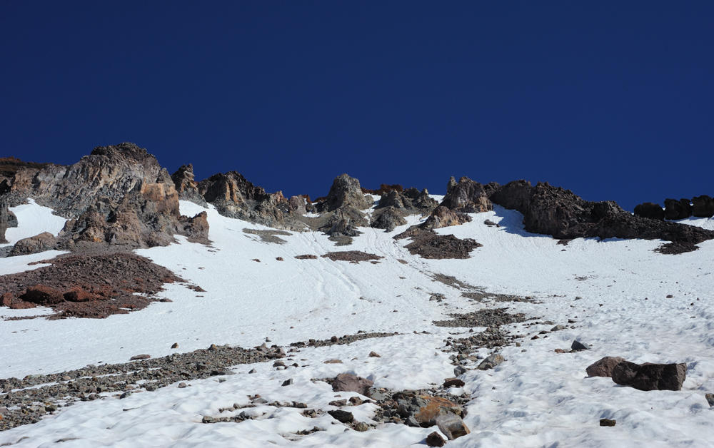
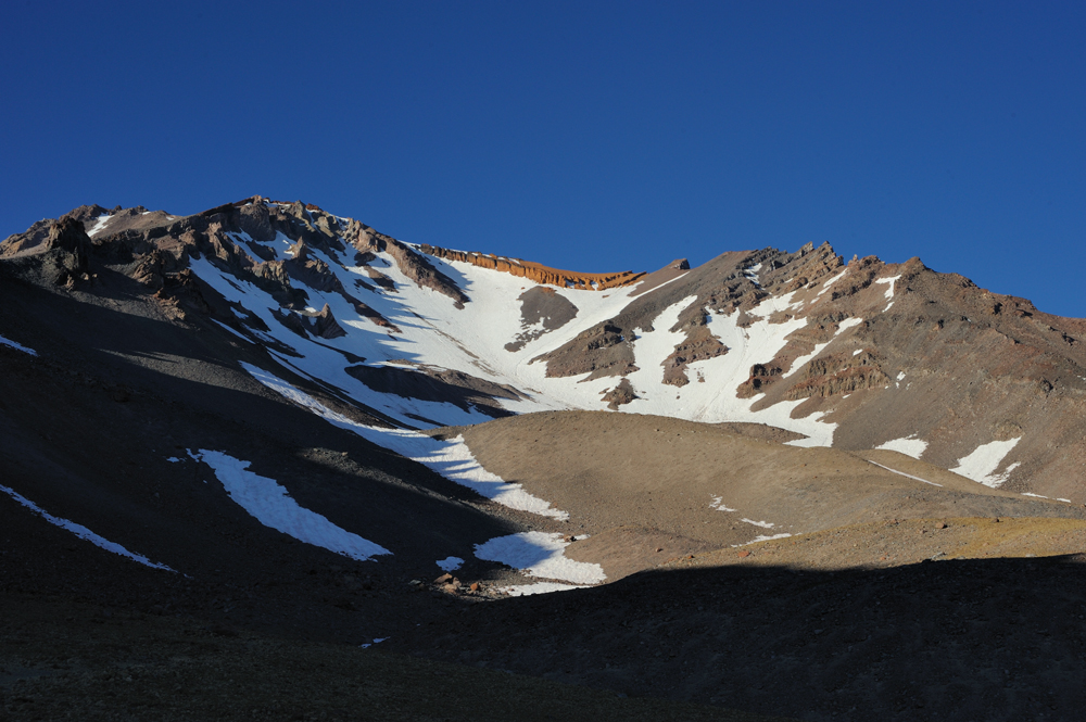
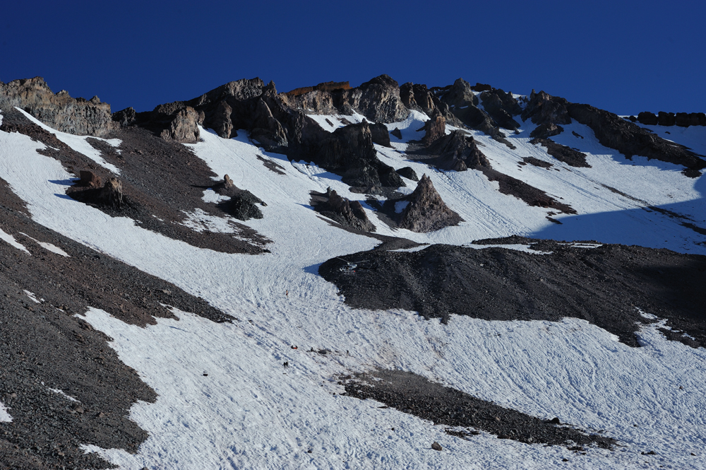
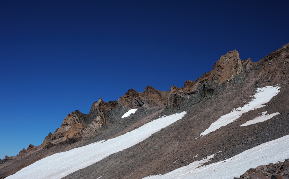
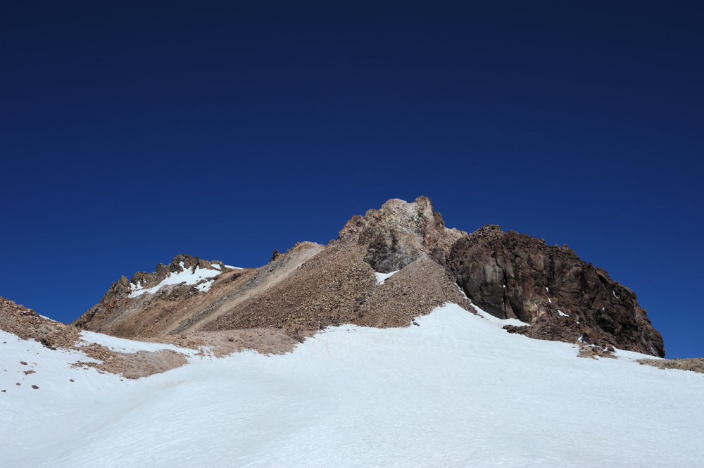
To these red rocks.
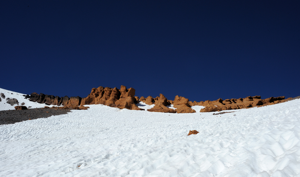
Here they are. We used the right snowy gully to ascend to the red rocky plate that leads to the top. It was very important to mark the top of the gully, because from the top is very difficult to find this place without a mark, and other places are very inconvenient and dangerous for the descent.

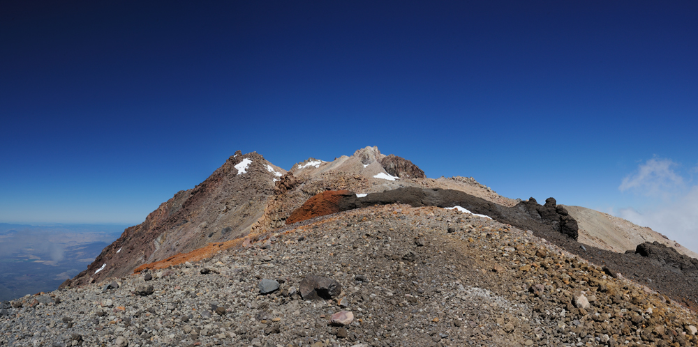
Moving into the summit direction.
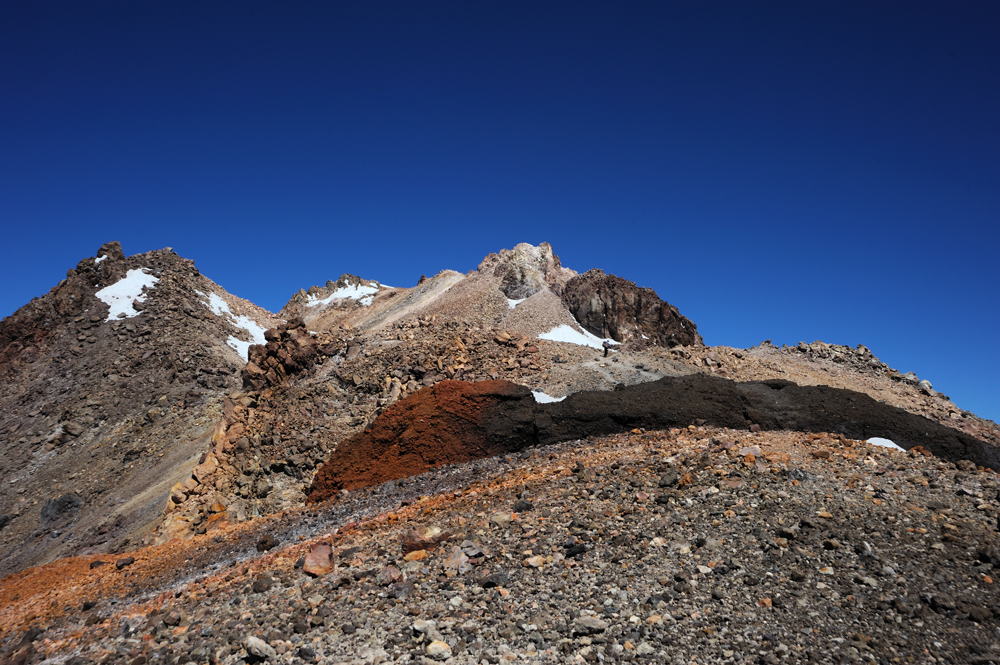
The summit is on the other side of the crater.
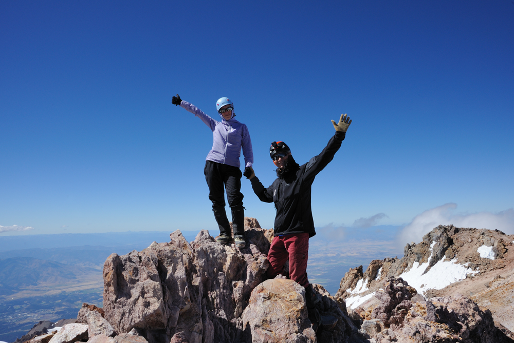
My buddies on the summit.
Time to go down.
Because on the next day we planned to move on the other side of Shasta to climb Shastina, we decided to spend the night in the same camp to avoid extra packing-unpacking. So we did.