At the beginning of July, we spent a long weekend in the Idaho mountains.
There is a Clearwater River in Idaho. Along this river there is a road; from this road, plenty of trails follow to numerous hot springs, and not only to them. We chose the Seven Lakes region. In the American mountains, there are plenty of places called Seven Lakes, for example, our favourite Seven Lakes in the Olympic park, which we are visited regularly. I don’t know if any of such Seven Lakes have definitely seven lakes, but most of them have more than seven. I understand, that seven is a magic beautiful number, so Seven Lakes, without depending on a real lake’s number. Clearwater Seven Lakes includes 11 lakes, the trail passes near 4 of them. The lakes are located on an altitude of about 2000 meters, on the tree line; the string this year came a month later than usual, but we hoped, that wouldn’t be too much snow near them.
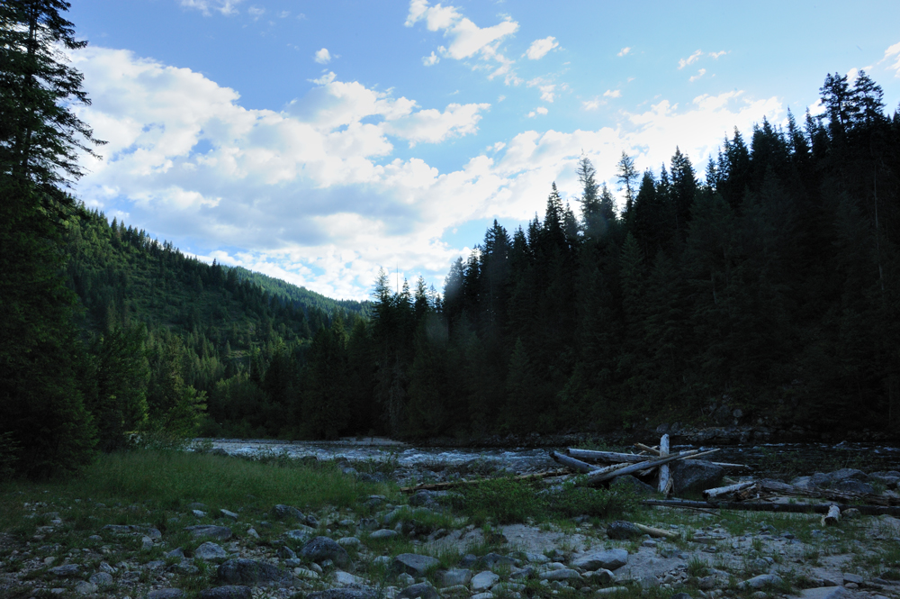
Friday evening we came to Clearwater (actually to its feeder, Lochsa), to the trailhead. There is camping where, but it was full, and nobody was on duty, so we made our camp on the river bank. It is much more convenient, and nobody is around.
In the morning, we came to the trailhead parking, packed our backpacks, and found a big problem. Because of the many big banana skins that we met for last year, we for the whole year (year!) didn’t do backpacking. The last time my big backpack travelled with me was in Greece a year ago, and, of course, on the way home by plane, I disassembled the waist belt. In Idaho, we came from Pullman, not from home, so packing was chaotic, I didn’t check anything, and my head was busy with other stuff. How you already realize, the west belt was somewhere else, not with me. So, I carried my backpack without the belt, only on the shoulders. It is so inconvenient! My shoulder told me a lot of bad words. For those smart people, who never carry heavy backpacks – the waist belt of a modern backpack takes about 40% of the weight and dramatically decreases the back and shoulder loading. I immediately remembered the backpacks of my youth… You realize how convenient modern sports equipment is only after such cases.
The icing on the cake – I usually keep my camera attached to my waist belt.
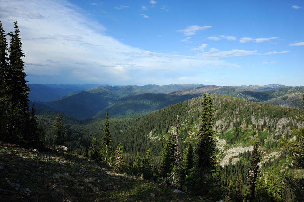
Anyway, we started moving to the ridge.
Forest around. Mushrooms.

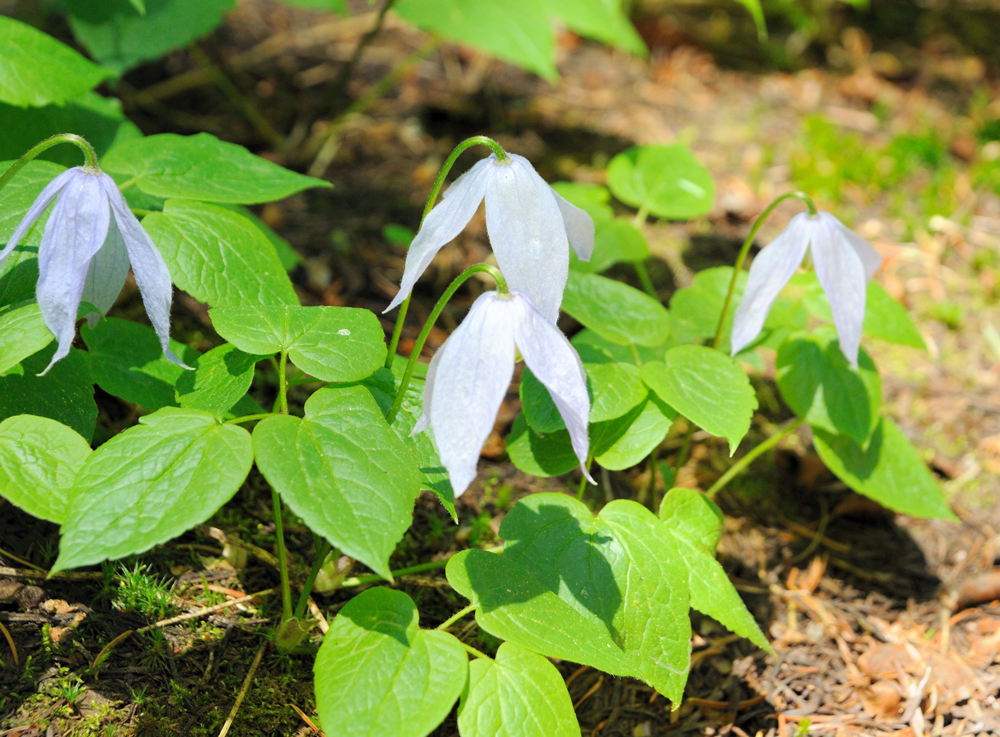
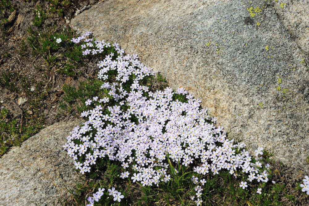
Clematis blooming.

On the ridge.
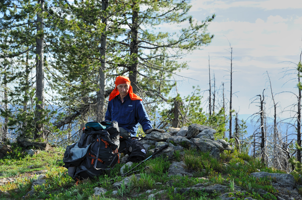
Stop for the rest.
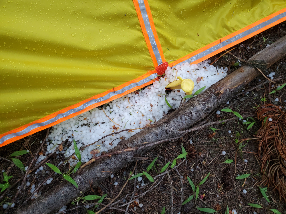
Immediately, a small but angry black cloud crossed the blue sky and started pouring heavy hail. Fortunately, Peer made a super-light tent and took it with us, so we can hide under it.
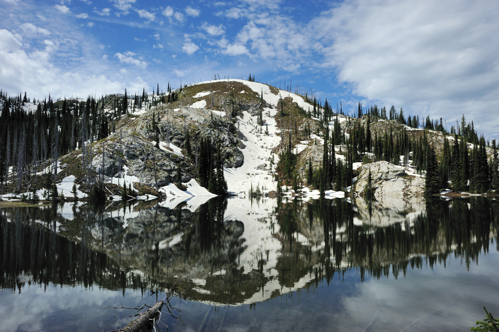
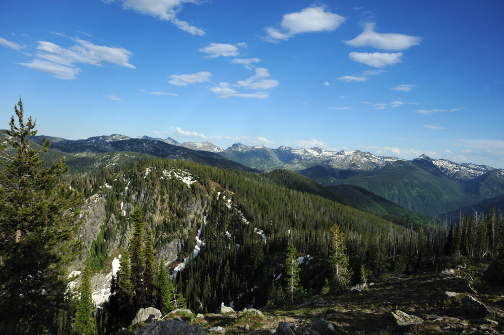
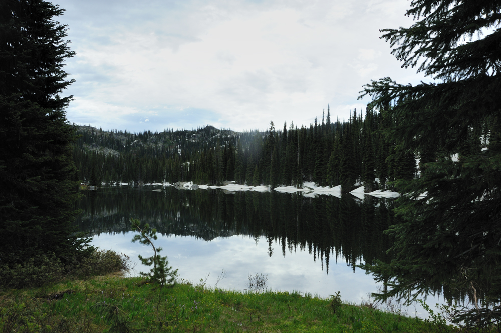
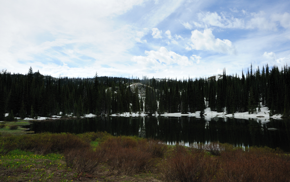
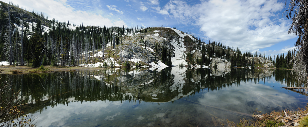
Our way along the fringe to the lake. Still snow on the lake.


However, we found a dry spot and set up the tent.
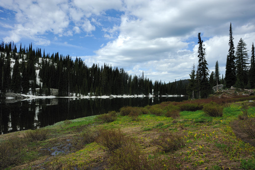
Morning lake.

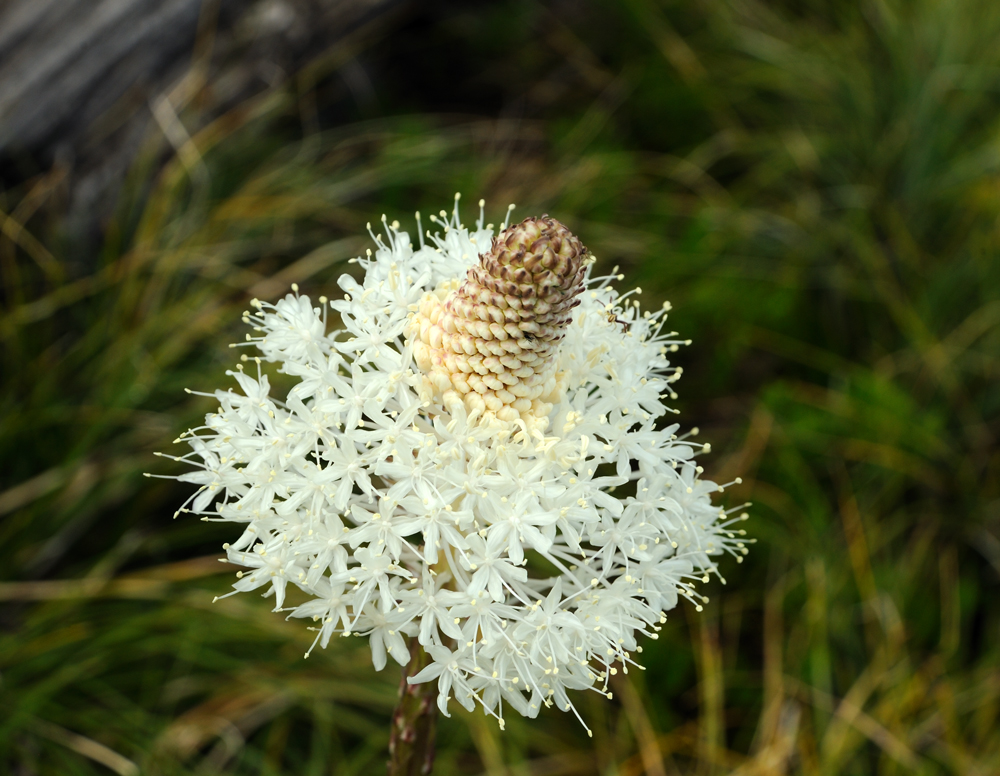
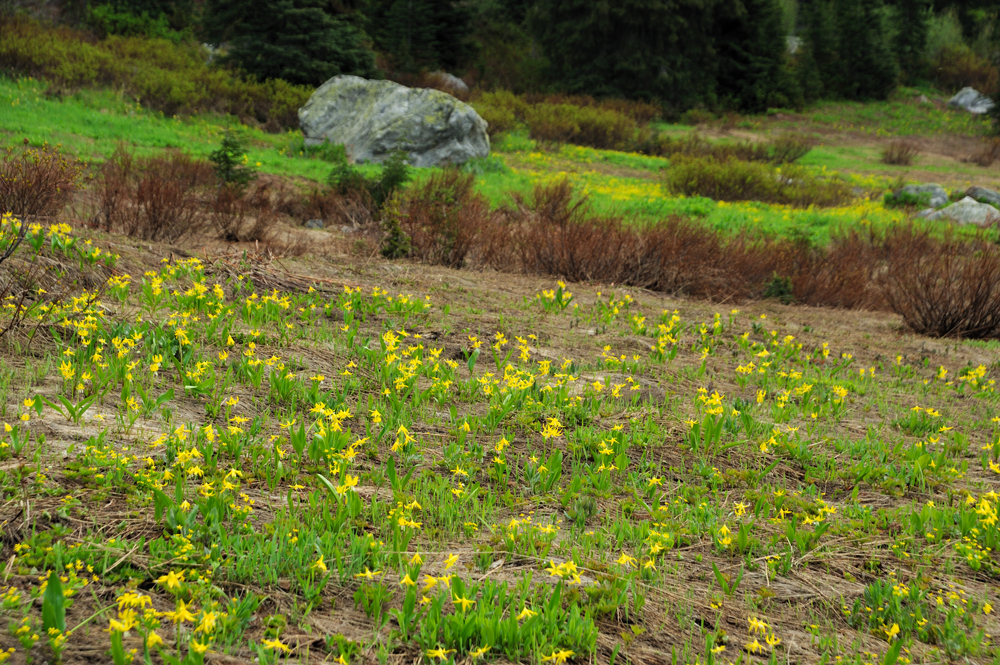
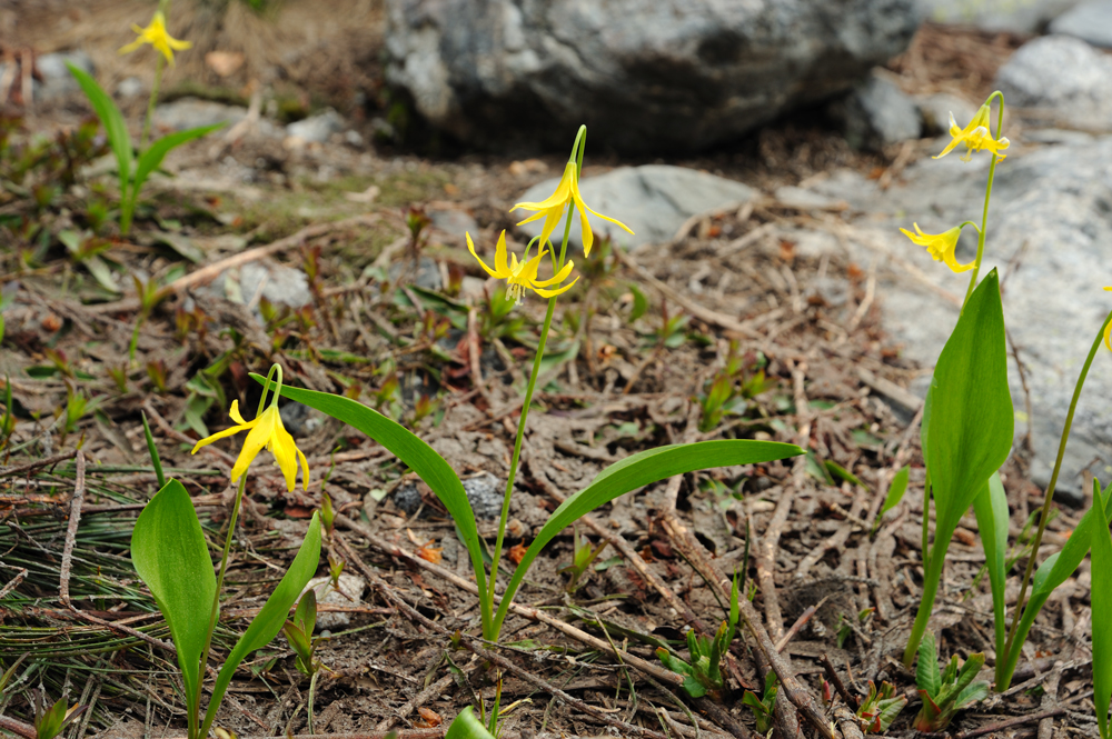
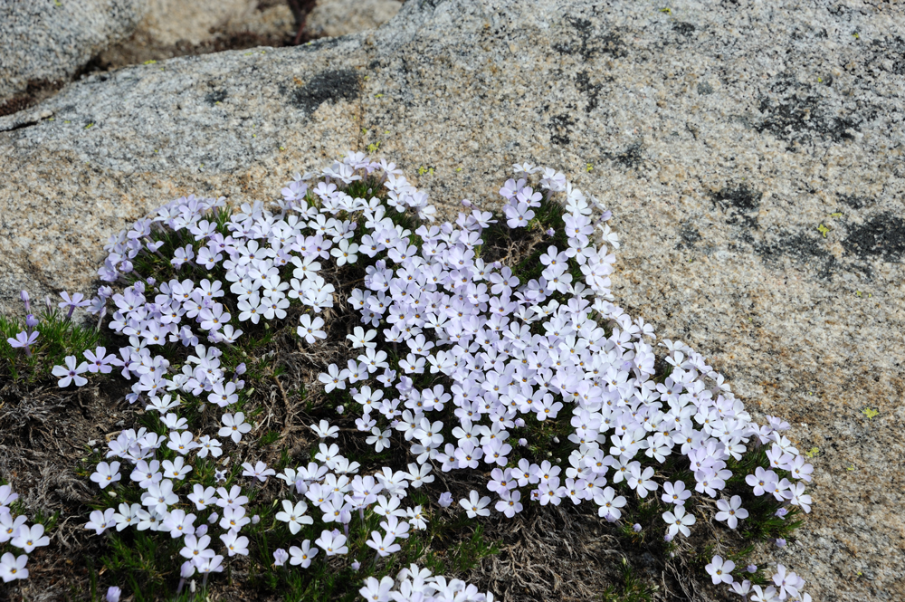
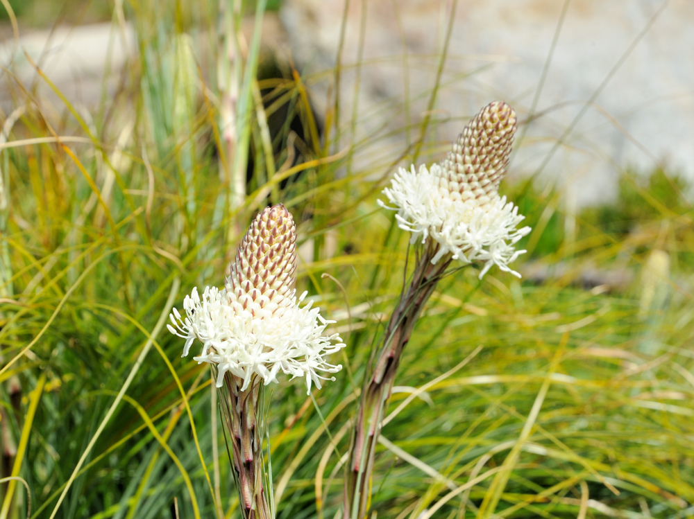
Lilies blooming.
Packed and moved

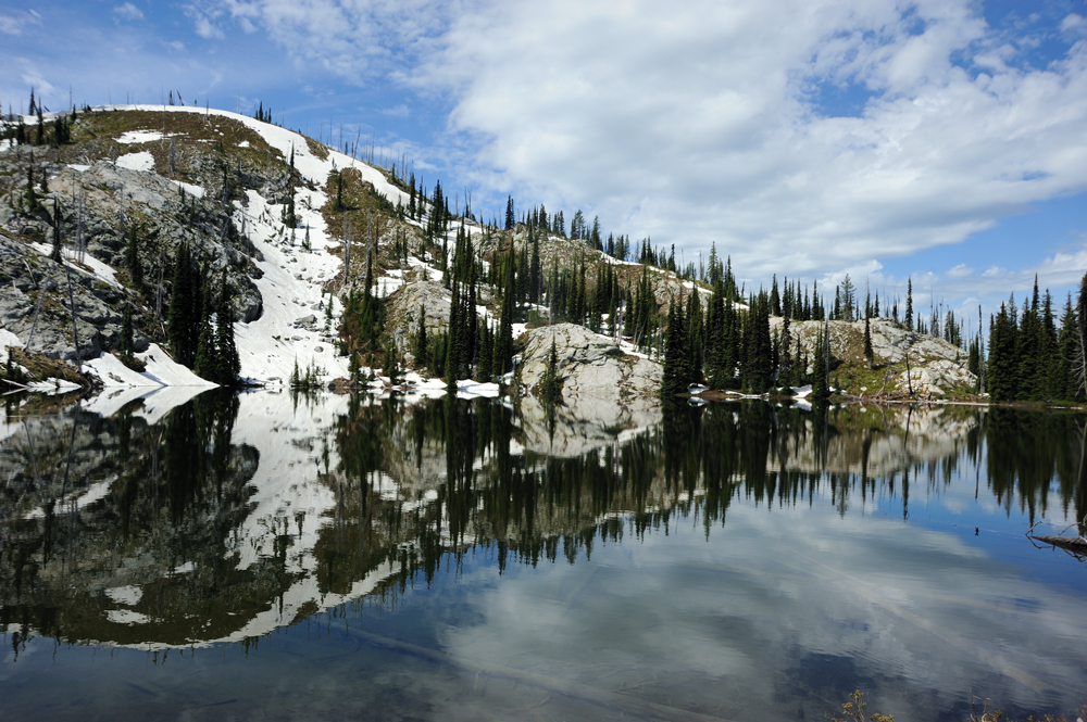
from one lake to another.

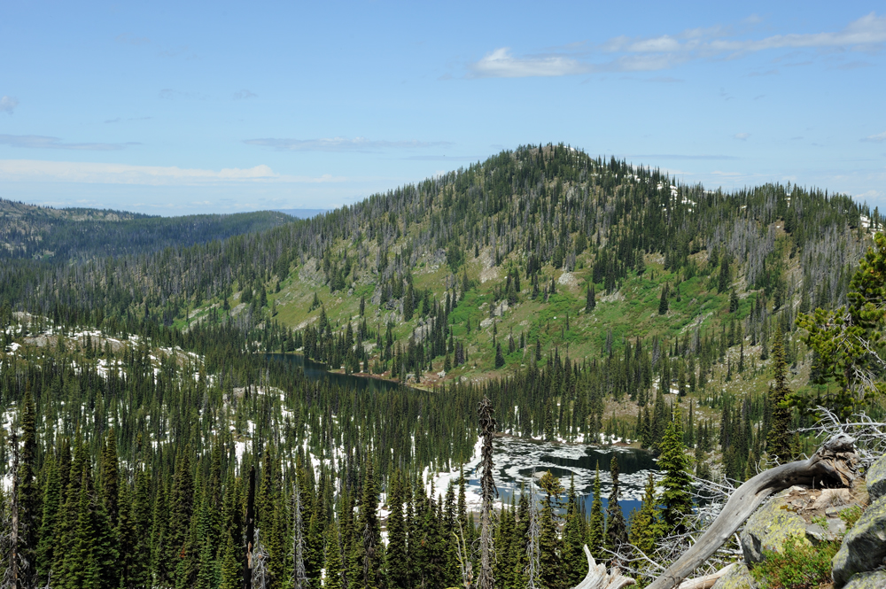
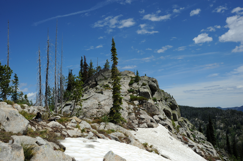

We passed all lake and came to the ridge that should bring us down.

At this point, we slightly lost our way. The top of the ridge was clean from the snow, and the trail was visible. But the slop was still under snow, so we spent some time walking back and forwarding wet knee-deep snow, until get back to the trail.
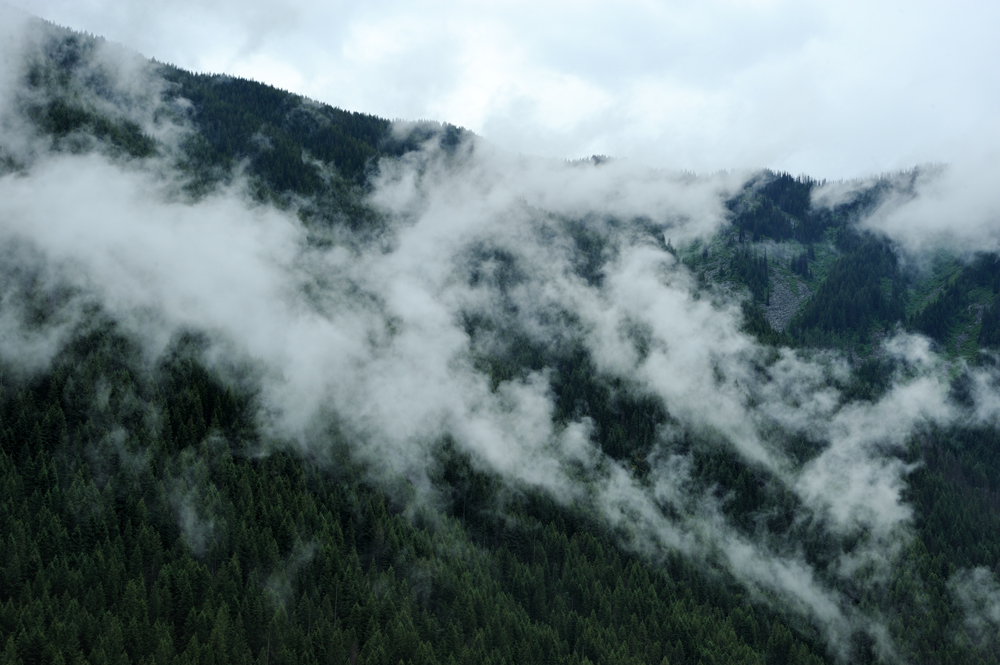
Additionally, the remaining started.
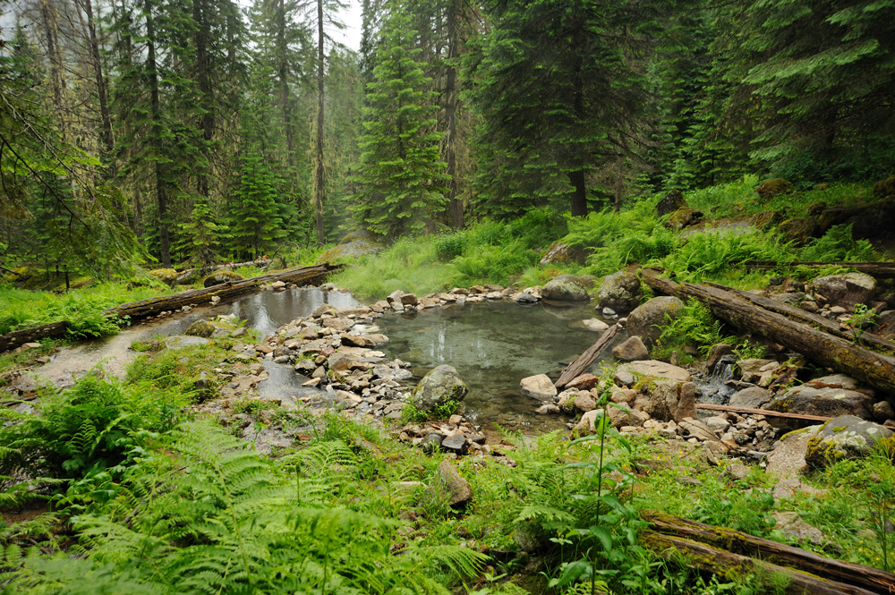
Finally, in the evening, we came to the hot springs, where planned to spend the night.
It is a beautiful hot spring with clear hot (40C) water (the photo is made in the morning). They are silicate, and water is silky without any smell. On arm’s distance from that tub, there is a cold spring, where you can cool your beer. If you have a beer.
Such nice hot springs, convenient tent places, only 8 km from the parking (if go directly from the parking, not like us), a long weekend, and only two people besides us. We were glad, of course, but surprised.
In the morning we found the reason, but in the evening we just enjoyed the hot bath.
The morning started with the tea in the hot bath. So luxury. Our neighbours already left, so we were alone.
Unfortunately, the time to move came anyway.
We packed, started our way down; and immediately found out why the place is so empty. Just below the sprigs, the train crosses the river. There is no bridge, only ford. It was the late spring, and the water is high, by the waist. It is a normal mountain river with a strong current. Quite dangerous. No way to do it with kids, dogs and so on.
Way down.

Came to the car and drow home.
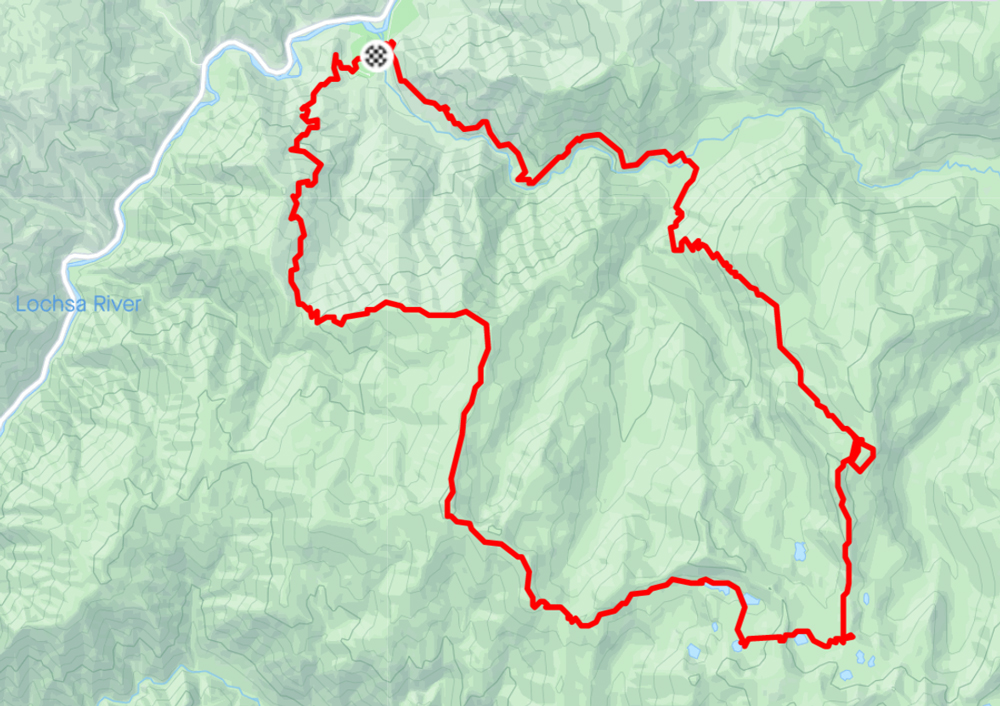
44 км, 1900 metres elevation gain.
GPS-track: