At the end of the August we hiked Mount Daniel in Central Washington. It is highest peak in the region, 2408 meters altitude.
The hike is about 30 km both ways with elevation gain about 1500 meters. About half of the trip is a good trail; the rest is scrambling on screes and rocks.
Driving to the trailhead take 2.5 hours from Seattle, last 12 mile is dirty gravel road.
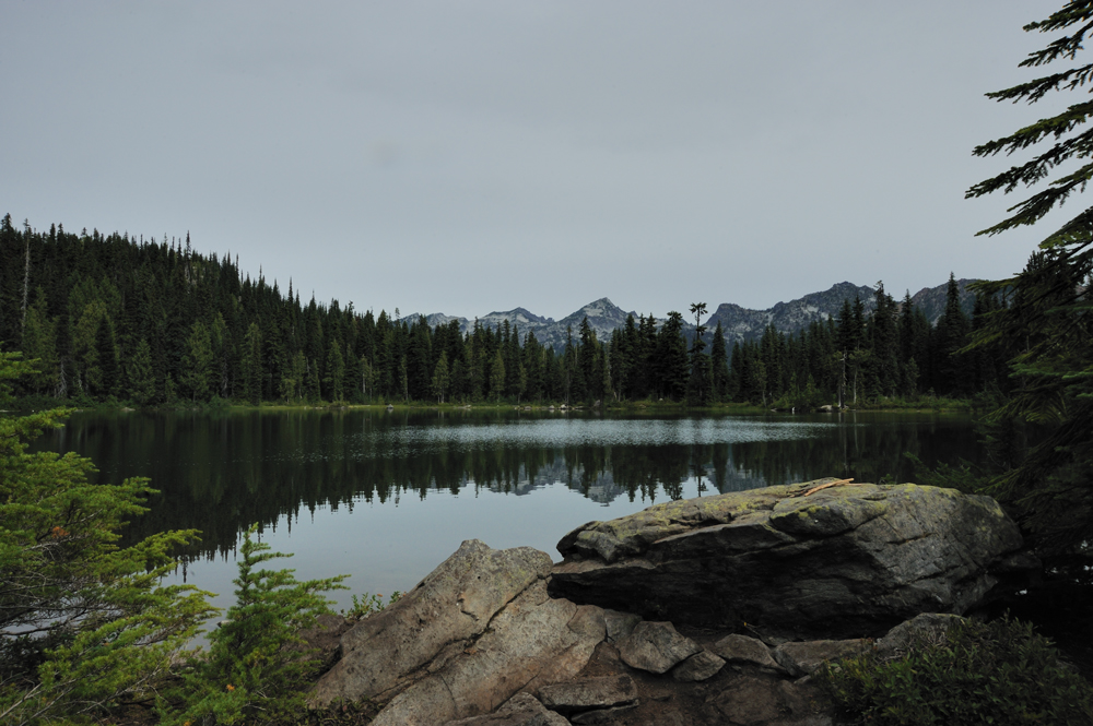
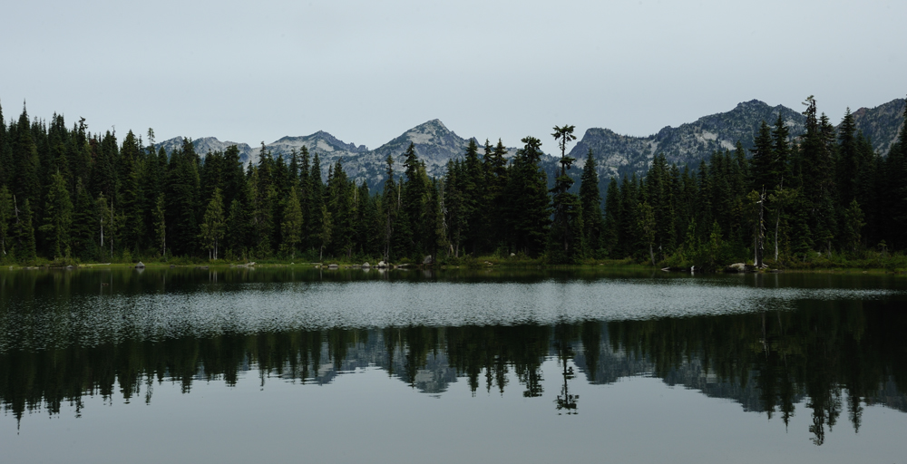
After two hours ascent though spruce forest we came to the small and warm lake. From this point you can see surrounding mountains.
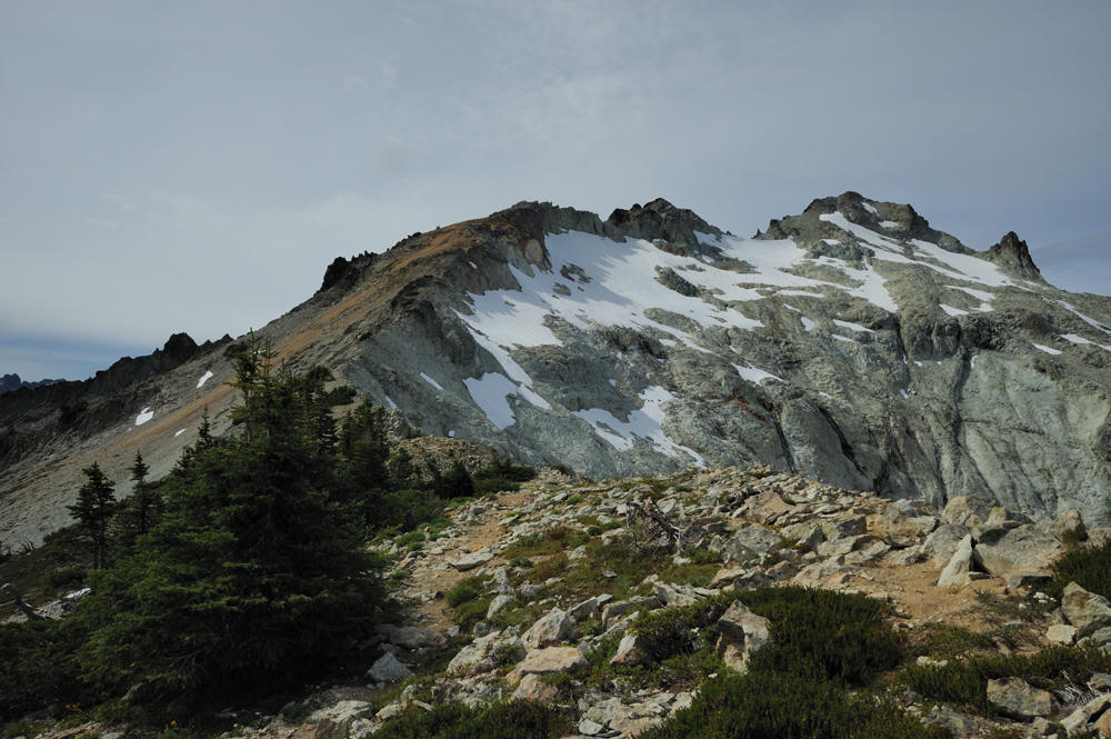
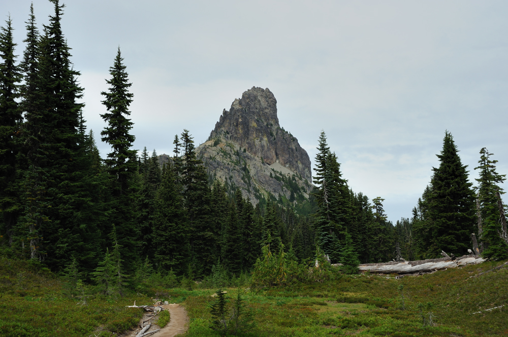
Closer to the pass the Cathedral Peak became visible.

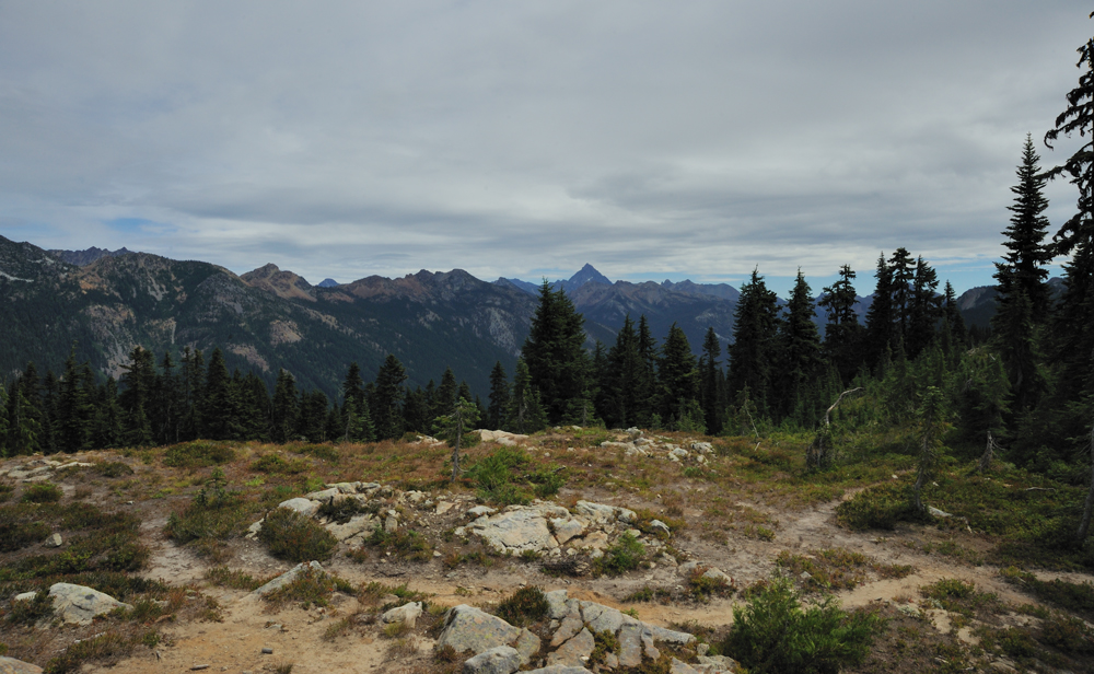
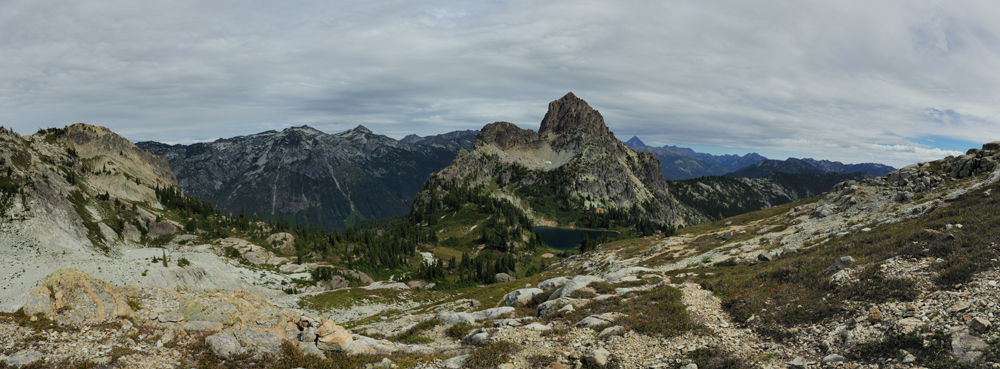
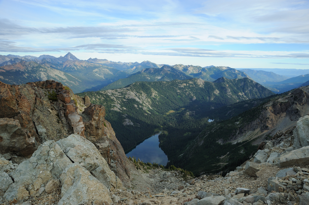
View from the pass.
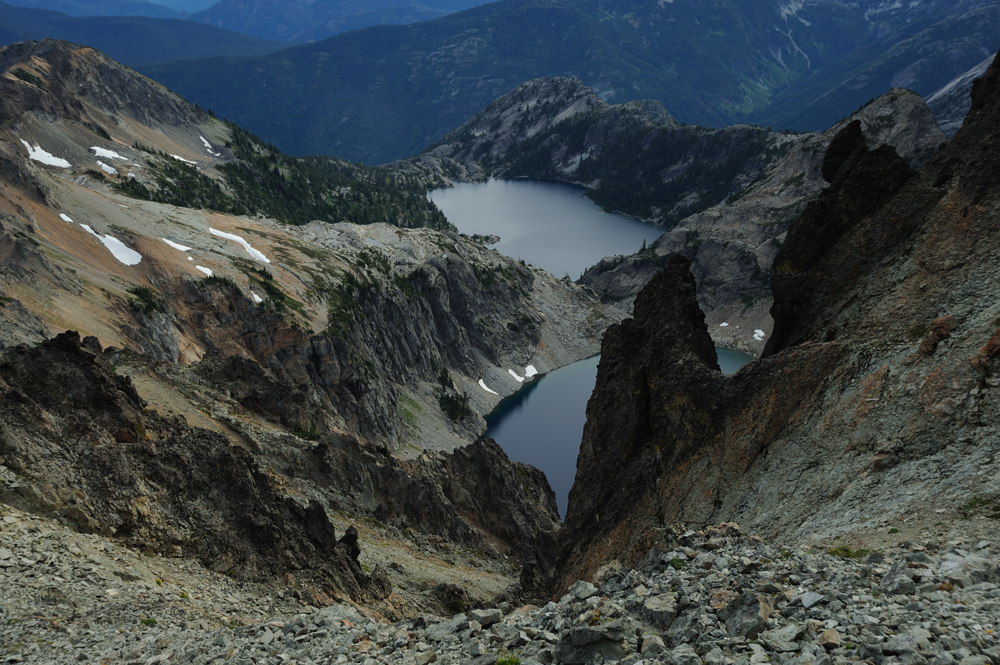
The main trail descents to the big lake, but we used smaller one that leads to the base of Cathedral Peak.
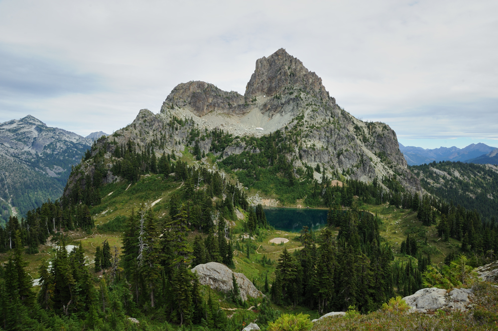
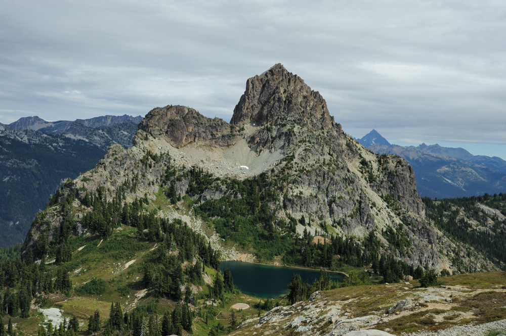
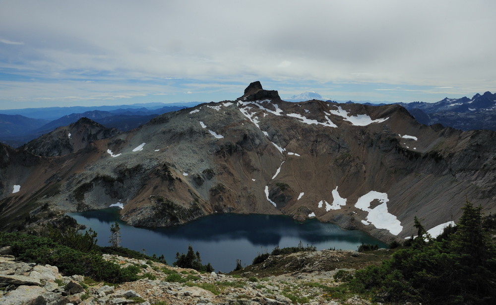
View of Cathedral Peak and Peggy Pond from the slope of Mount Daniel.
There is no real trail from Peggy Pond to Mt Daniel, just marked path.
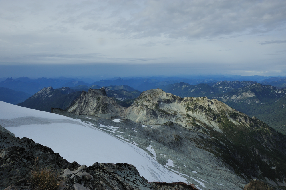
Mount Daniel

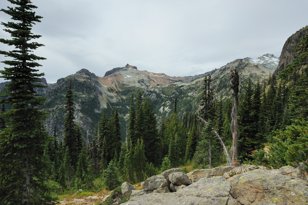
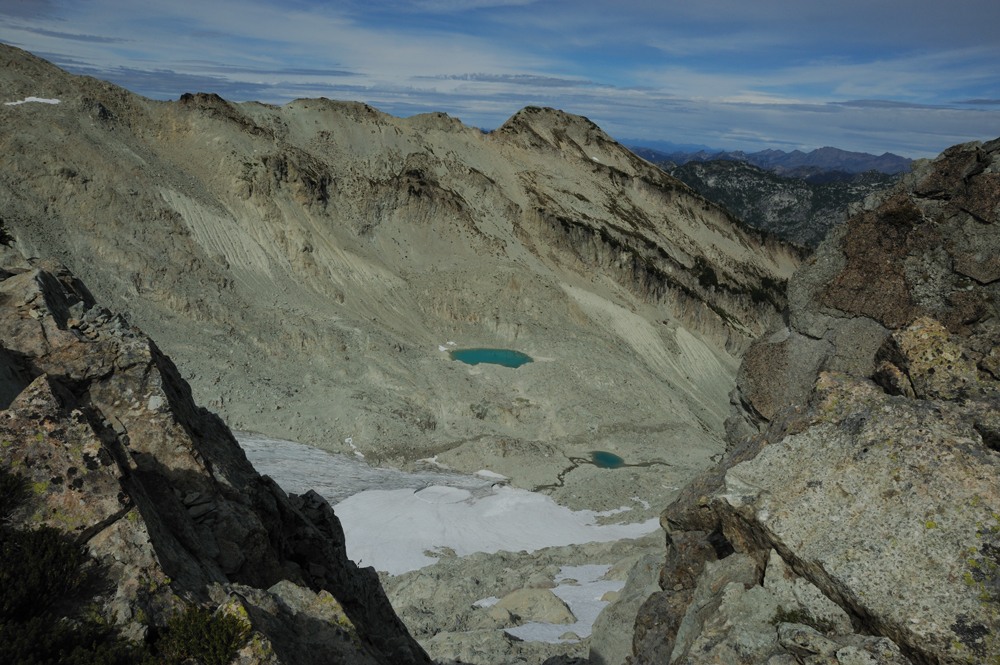
Surroundings
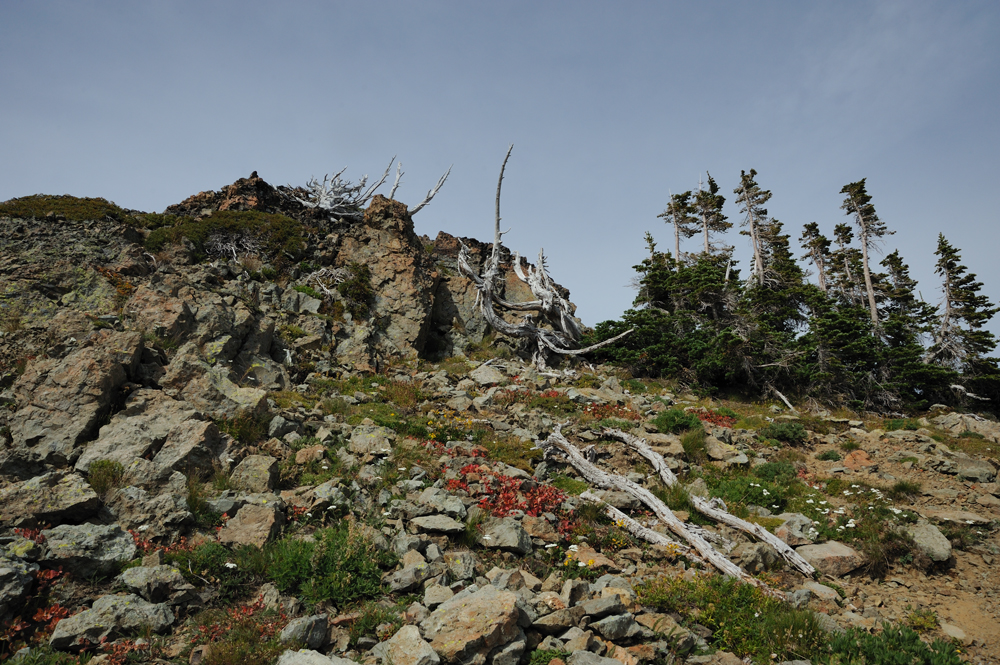
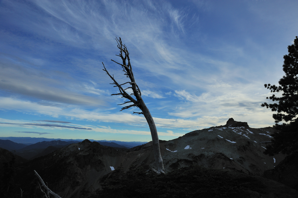
Last spruces at this altitude.
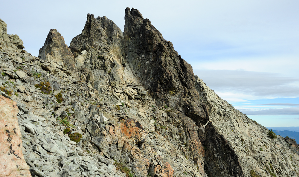
On the ridge that lead to the peak. It is only the part of path, the rest is hidden by the rock.

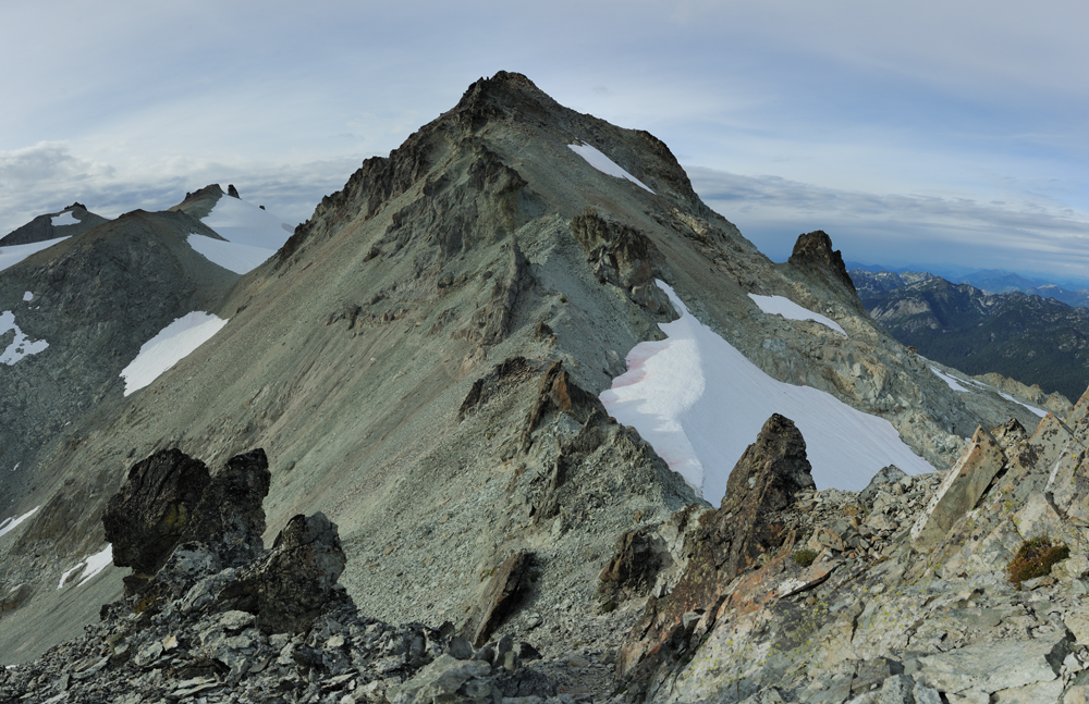
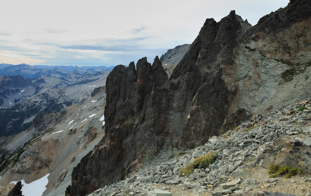
Other side of the ridge.
Morena
Last park of ridge before top.
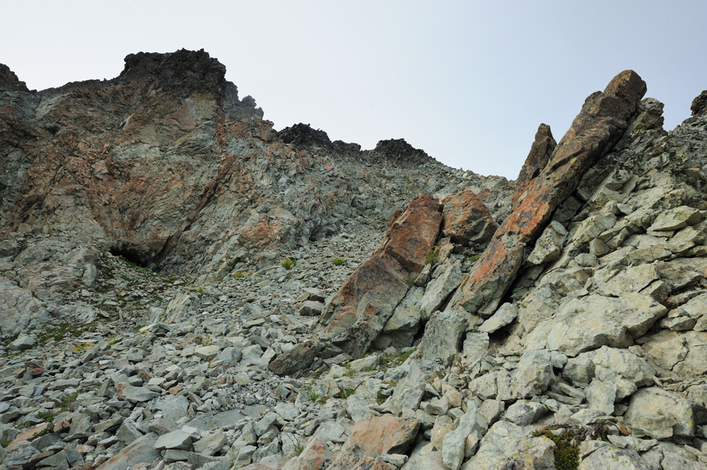
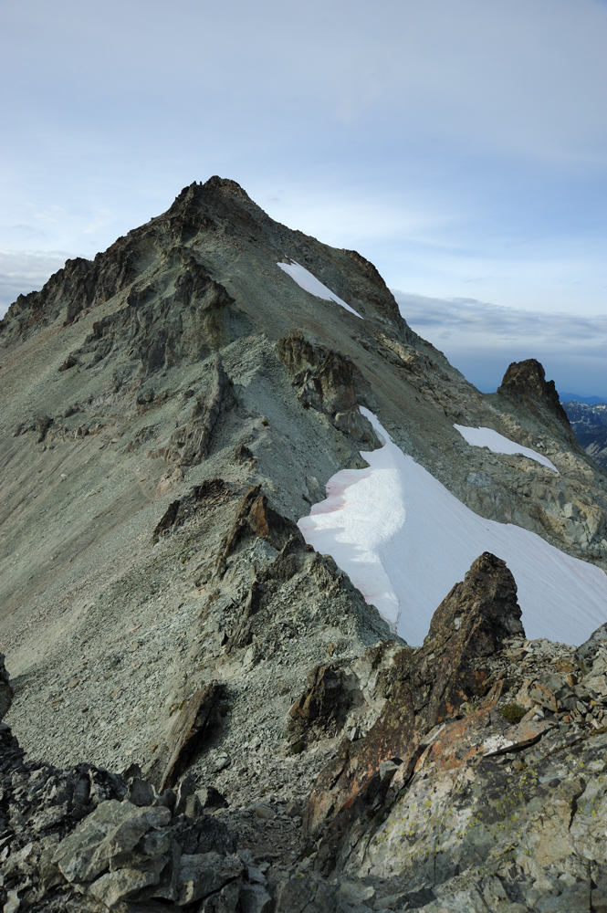
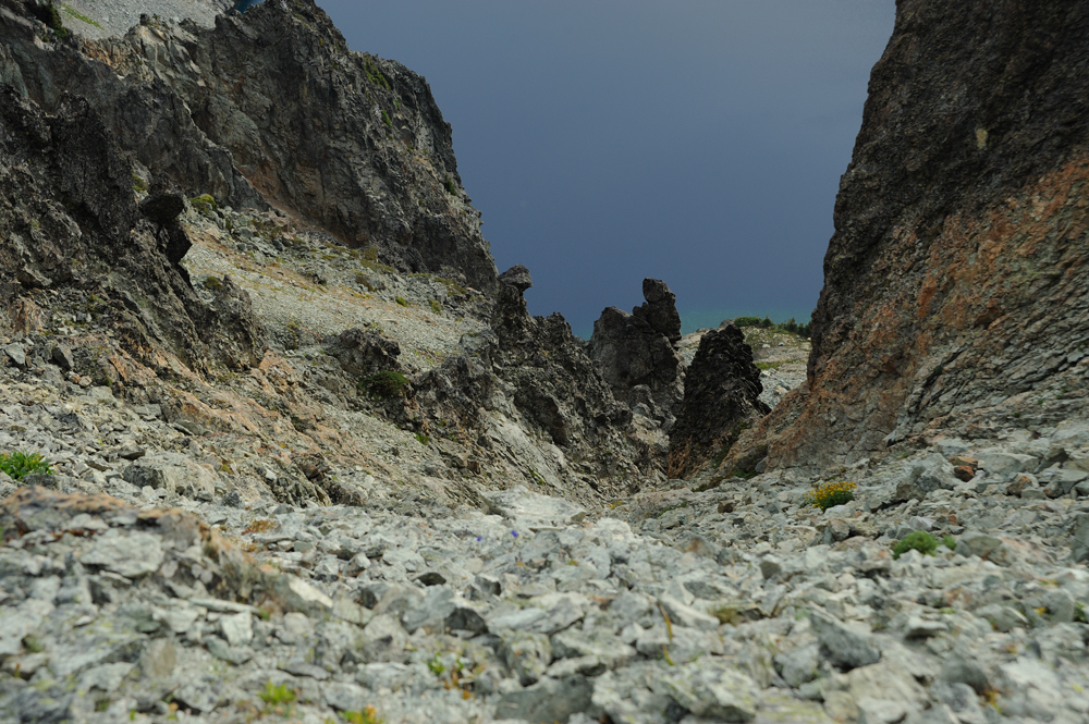
Scree is very unpleasant.
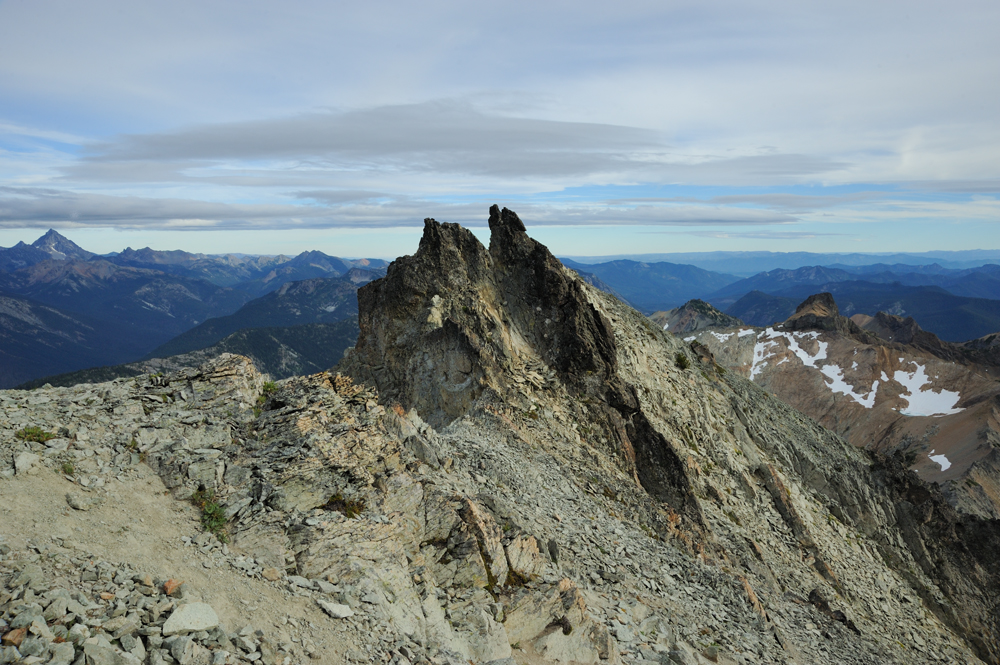
Rocks near the top

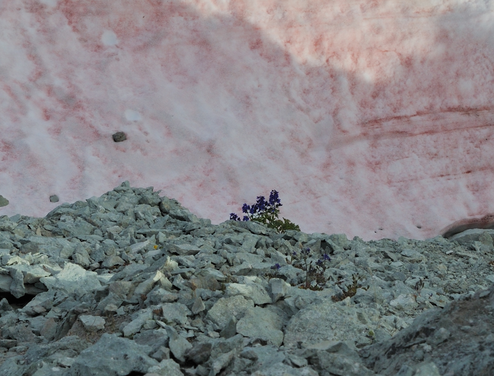
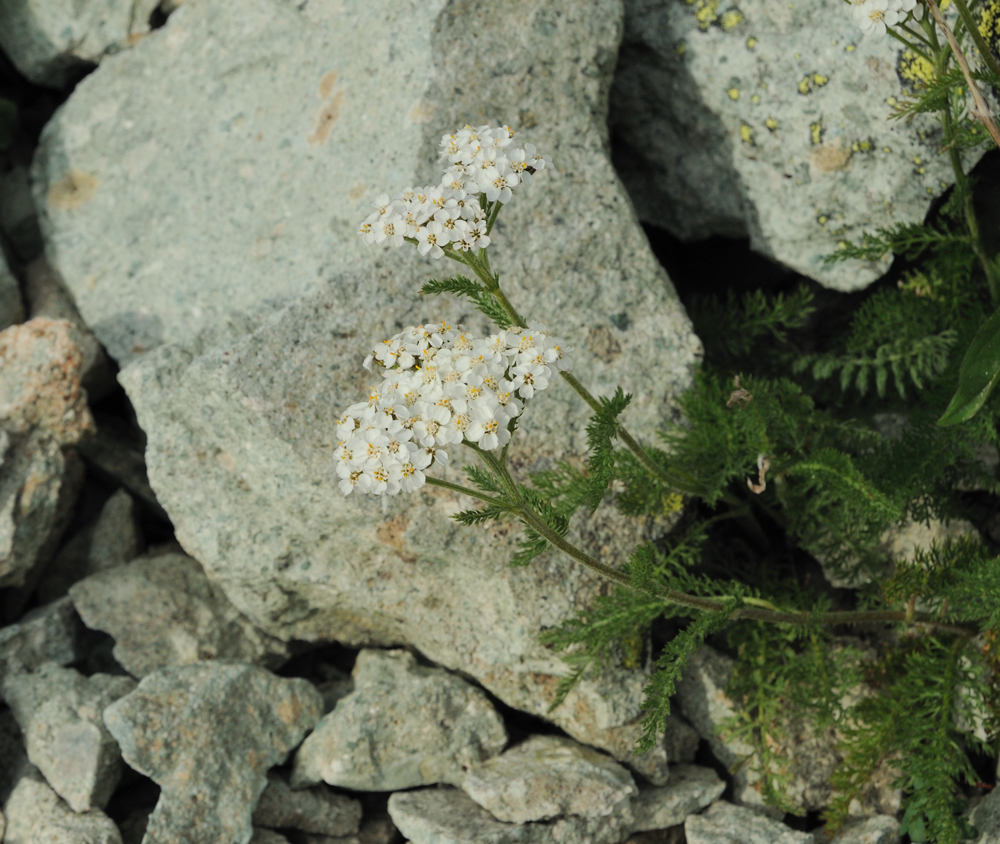
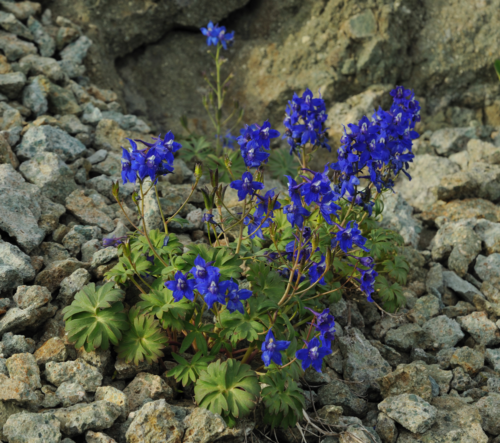
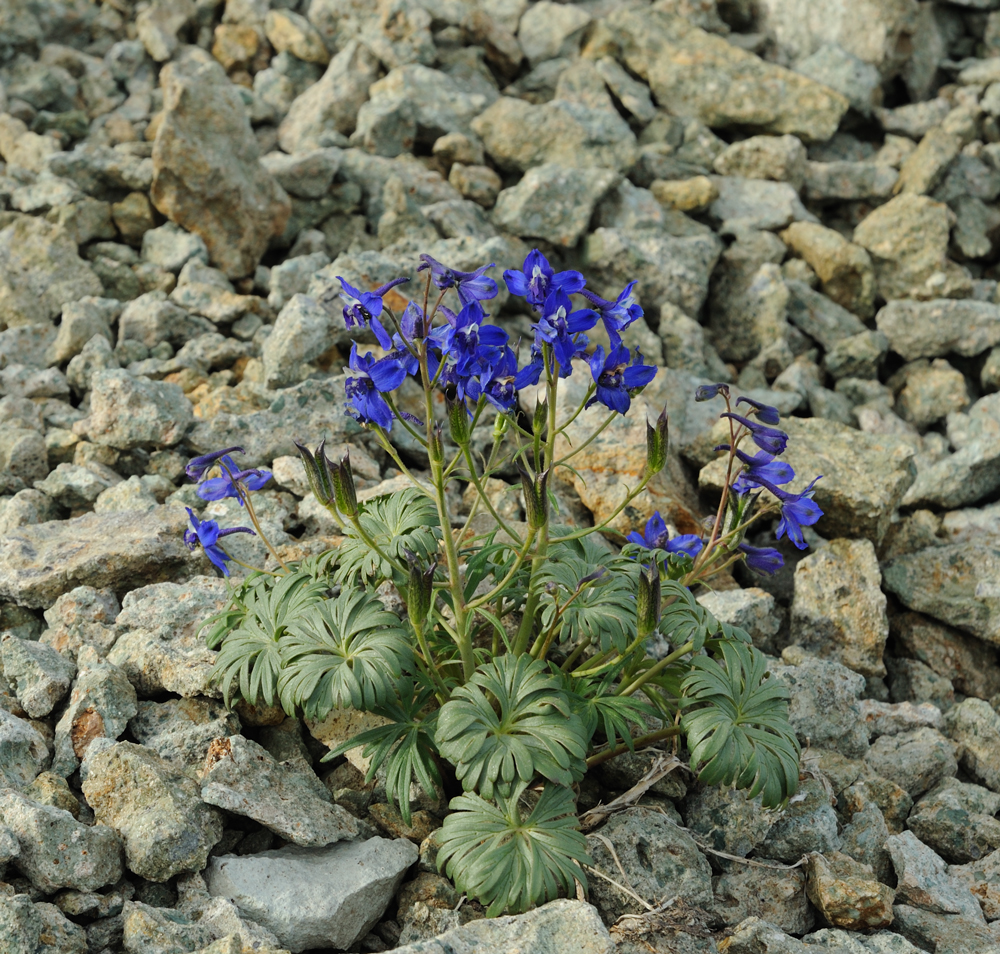
Flower near the top

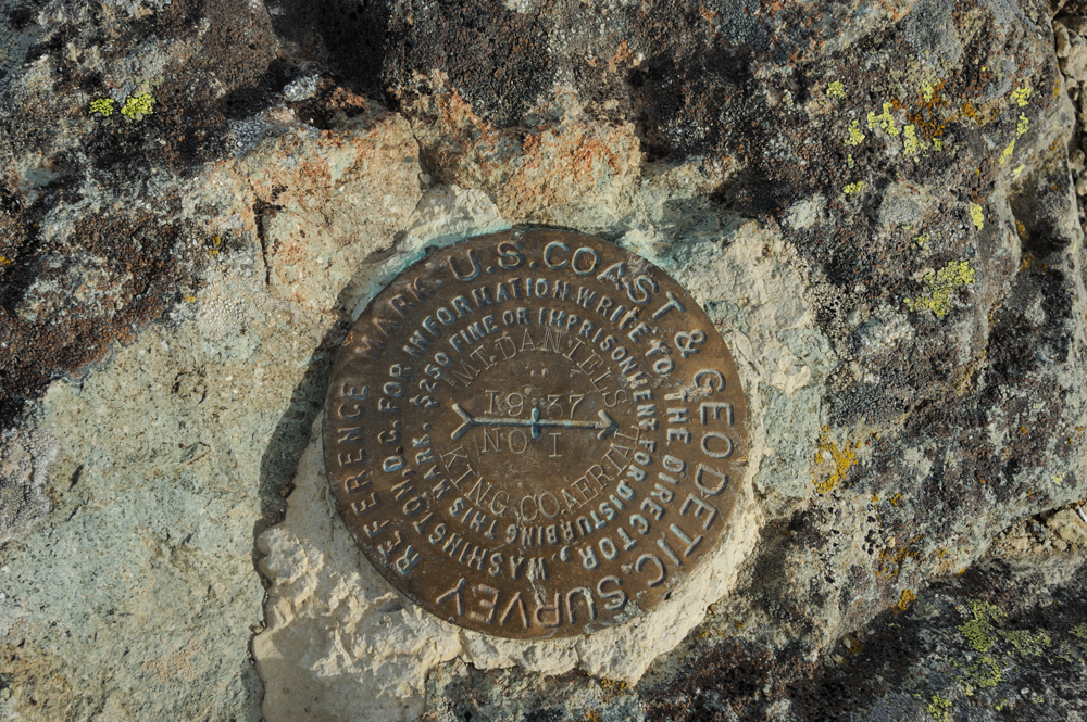
On the top
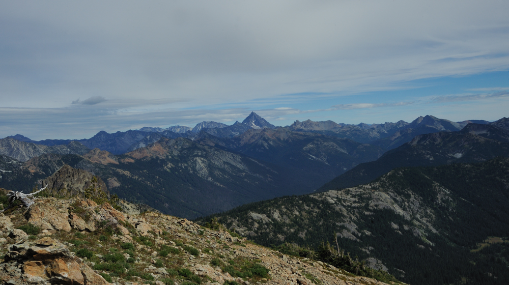
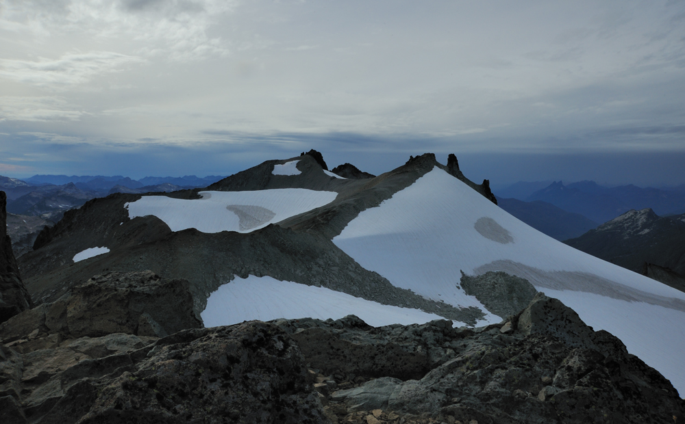
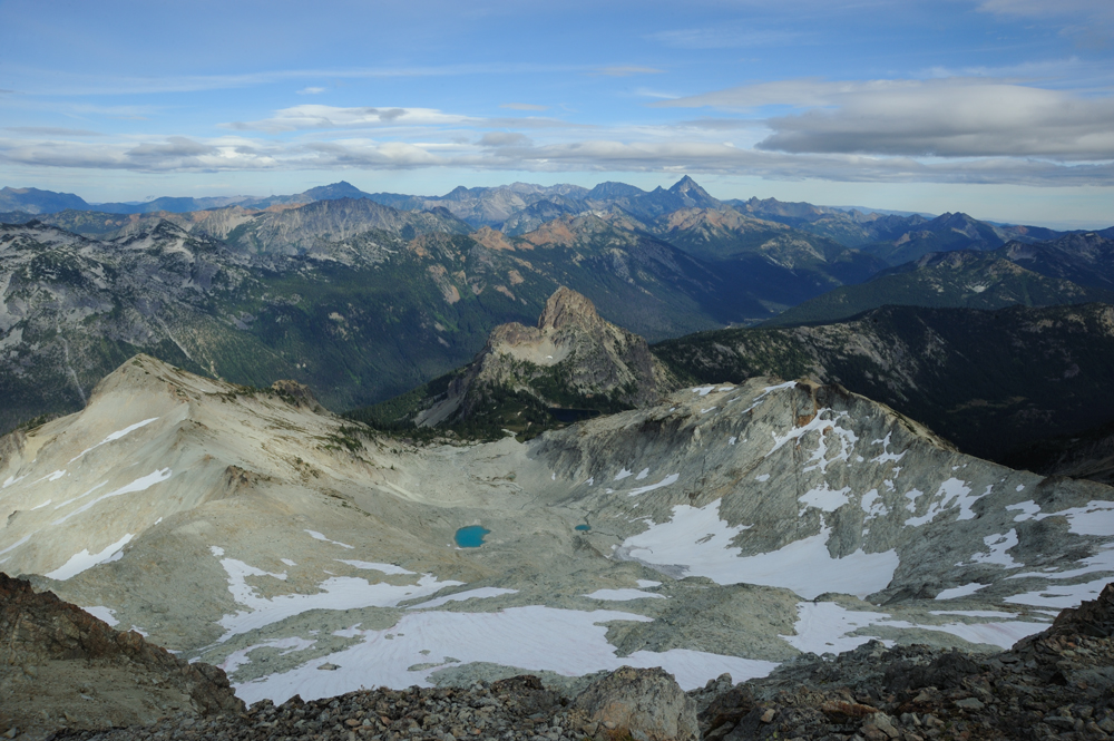
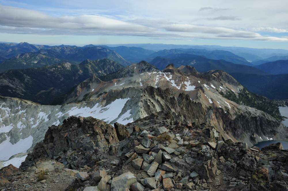
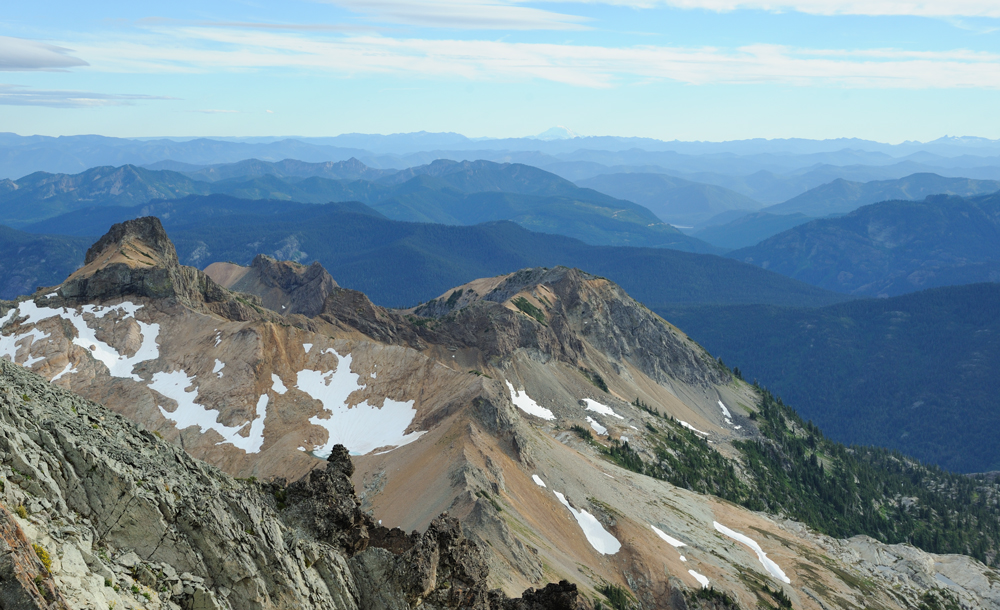
Vies from the top.
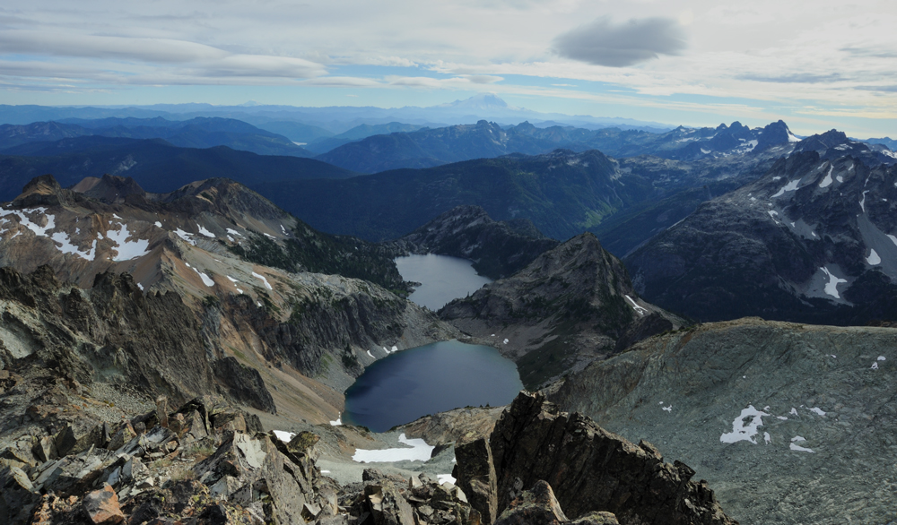
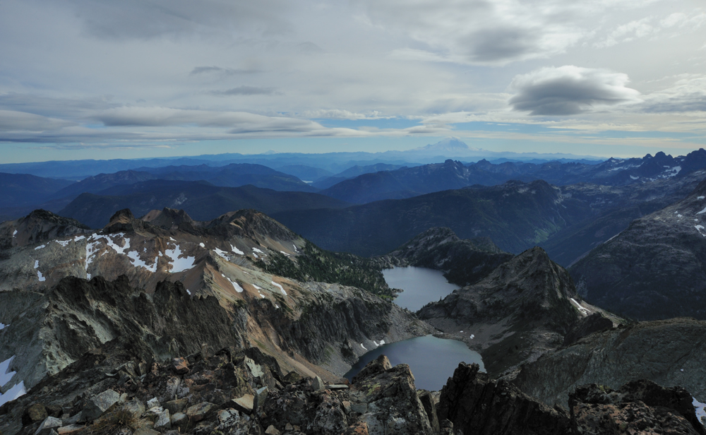
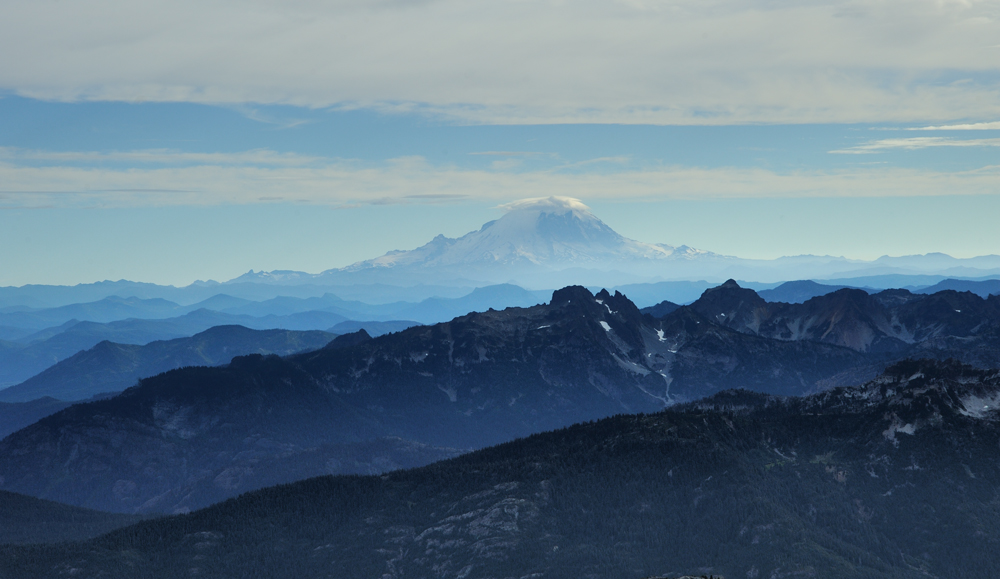
If weather permits you can see all highest peaks of Washington from Mt Daniel – Rainier, Adams, Glacier, Baker.
Rainier

Adams
Our way back.
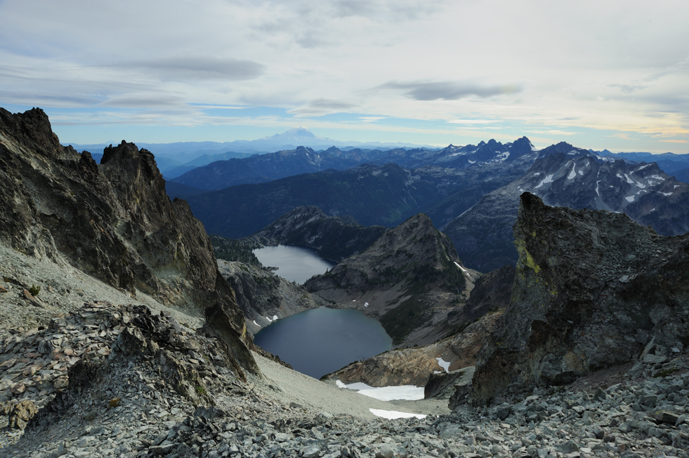
rainier in the hat.
flowers
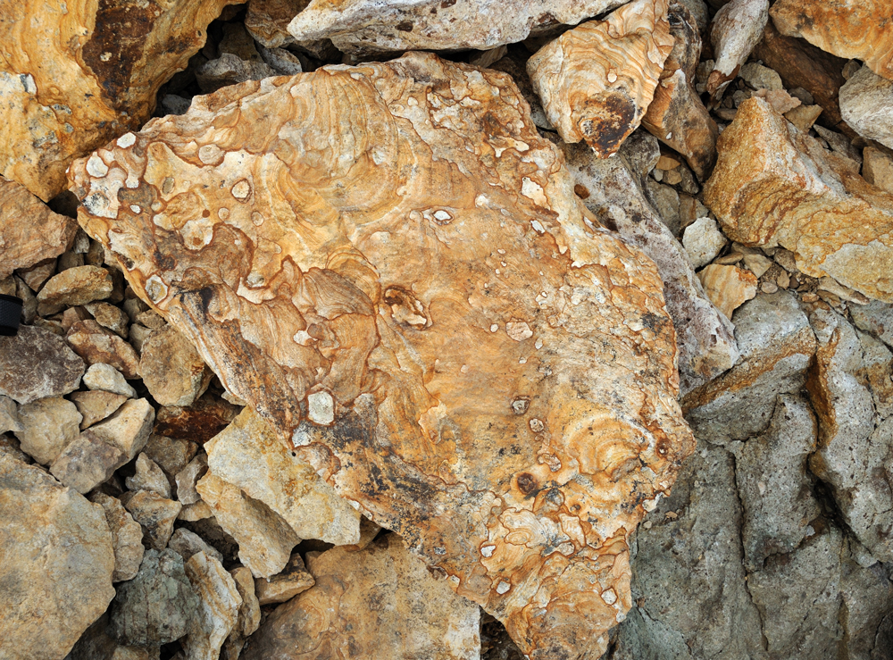
Some rocks are very pretty.


Lake below the pass
Glacier on backgroud

Last view
It is beautiful place. I want to return here.